Home
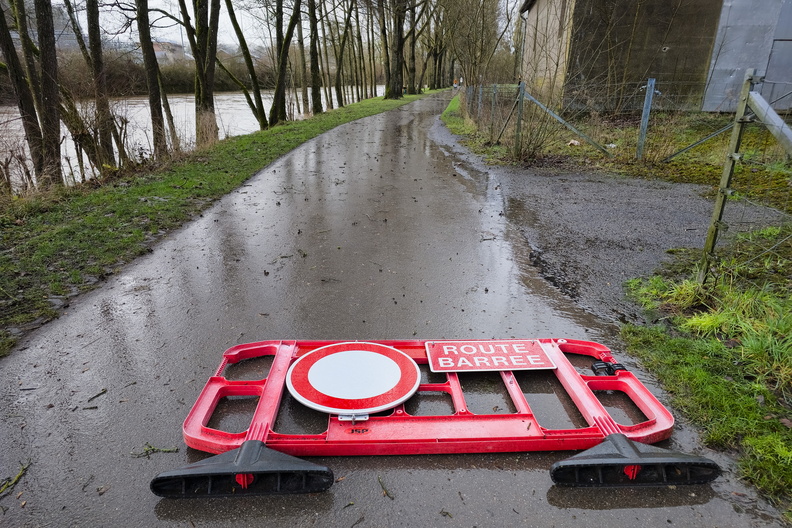
A Luxembourg Cycling Path Interrupted by Nature
Photo sizes
S - small
(576 x 384)
M - medium
(792 x 528)
L - large
(1008 x 672)
XL - extra large
(1656 x 1104)
XXL - huge
(2048 x 1365)
Original
slideshow
Download this file
Flooded cycle path blocked by a road barrier.
Information
Rating score
no rate
Rate this photo
Created on
Monday, January 6, 2025
Posted on
Thursday, January 9, 2025
Visits
2948
Albums
Outdoor adventures
/
2025
/
January 2025
Cycling
/
Luxembourg national cycling routes
/
PC 16 - Piste cyclable de la Moyenne Sûre
Tags
Alzette
Alzette river
bank
bike lane
black
blockage
caution
closed road
country:Lëtzebuerg
country_code:lu
county:Canton Diekirch
cycle path
cycling:Sauertal-Radweg
detour
fence
fencing
flood
flooded
grass
hazard
MTB trail:Ingeldorf Ettelbrück
muddy
no entry sign
orange
overcast
overcast sky
overflow
path
pavement
PC 16
PC16Lux
Piste cyclable de la Moyenne Sûre
puddles
rain
rainfall
rainy
red
river
road barrier
road sign
route
tarmac
town:Ettelbruck
trees
vegetation
village:Warken
water
waterlogged
wet
white
wind
Powered by
Piwigo