
 Download Photo


Information
- Rating score
- no rate
- Rate this photo
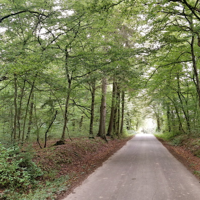
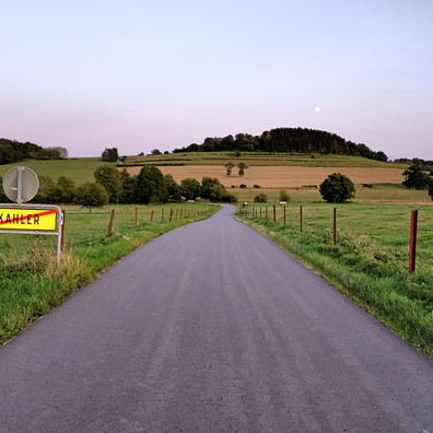
- Created on
- Tuesday 14 May 2019
- Posted on
- Thursday 5 September 2019
- Visits
- 3115
- Albums
-
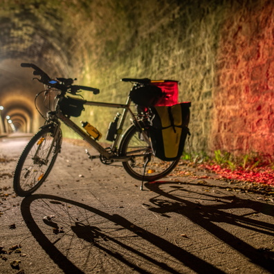
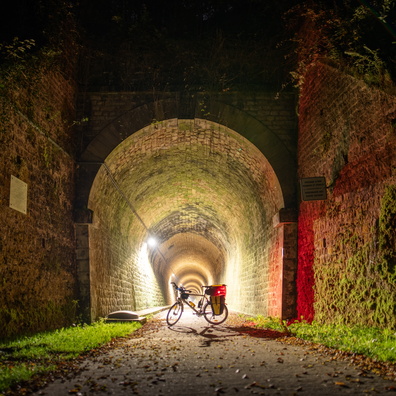
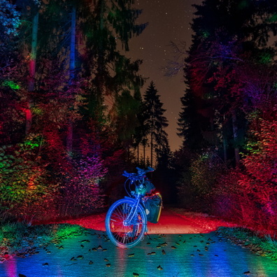
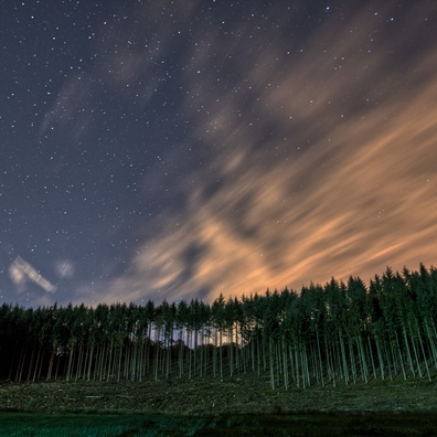
Outdoor adventures / 2019 / May 2019
Hiking and walking / Walking life / Q2-2019
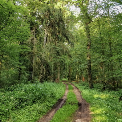
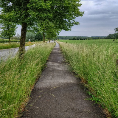
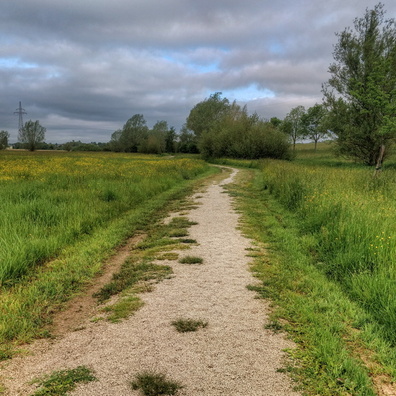
EXIF Metadata
Panasonic DMC-TZ100
- Make
- Panasonic
- Model
- DMC-TZ100
- DateTimeOriginal
- 2019:05:14 15:05:07
- ApertureFNumber
- f/8.0
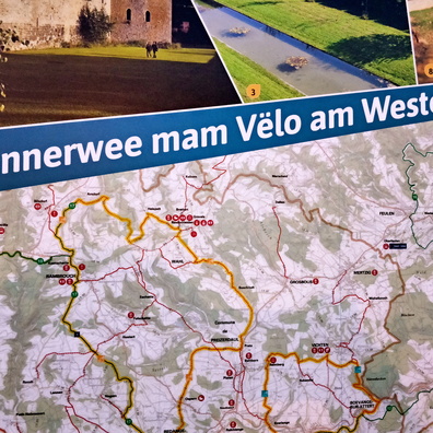
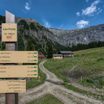
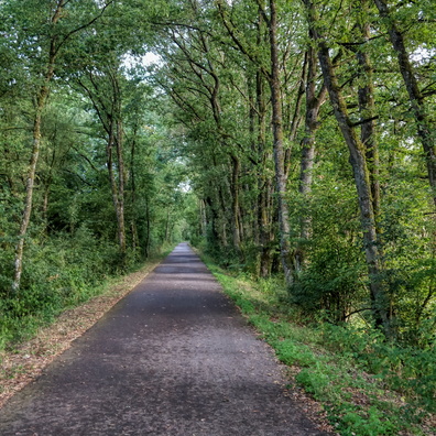
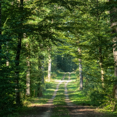
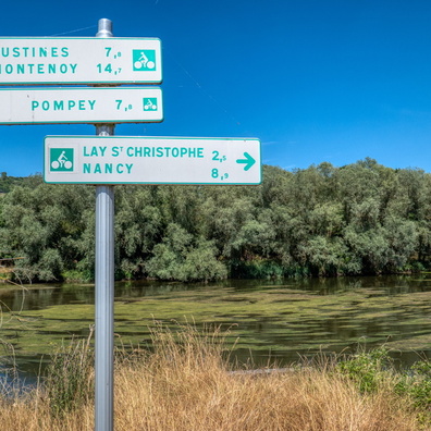
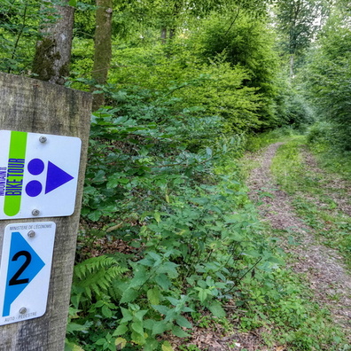
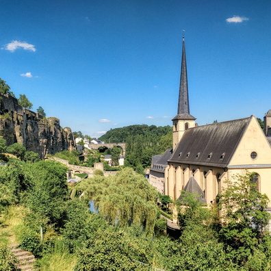
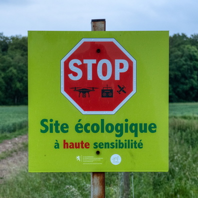
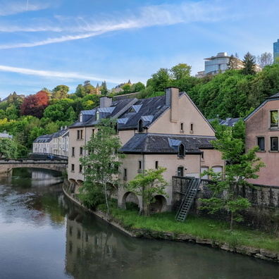
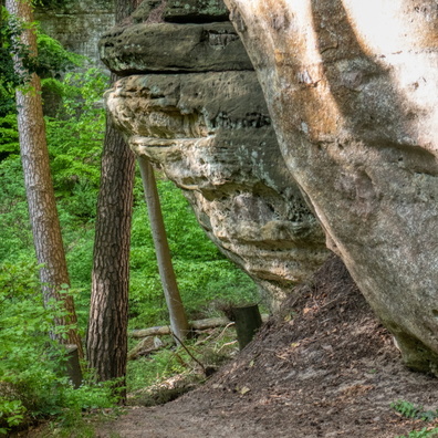
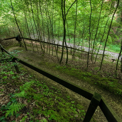
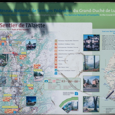
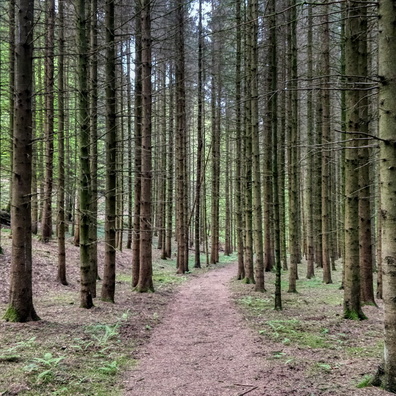
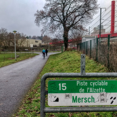
- iptc_title
- Sentier de l'Alzette: map
Powered by Piwigo