")
 Download Photo


Information
- Rating score
- no rate
- Rate this photo
- Created on
- Wednesday 1 November 2017
- Posted on
- Sunday 6 October 2019
- Visits
- 3747
EXIF Metadata
Panasonic DMC-TZ100
- Make
- Panasonic
- Model
- DMC-TZ100
- DateTimeOriginal
- 2017:11:01 16:08:25
- ApertureFNumber
- f/2.8
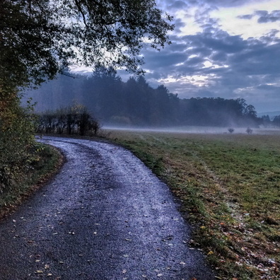
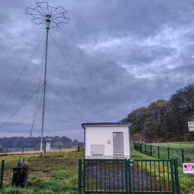
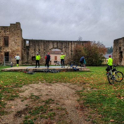
- iptc_title
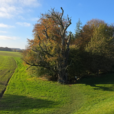
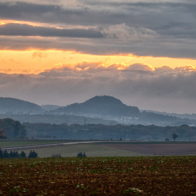
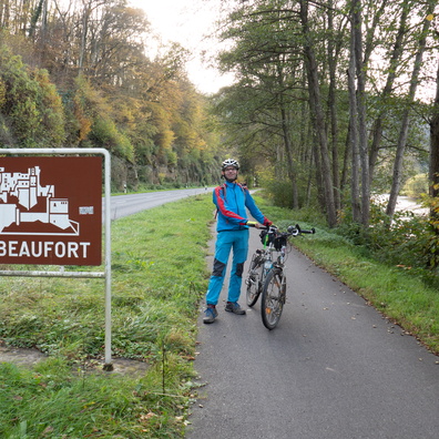
- Near the end of PC 16 in Ettelbruck
Powered by Piwigo