
 Download Photo


Information
- Rating score
- no rate
- Rate this photo
- Created on
- Monday 30 December 2019
- Posted on
- Wednesday 1 January 2020
- Visits
- 2011
- Albums
-
Outdoor adventures / 2019 / December 2019
Hiking and walking / Walking life / Q4-2019
EXIF Metadata
NIKON CORPORATION NIKON D750
- Make
- NIKON CORPORATION
- Model
- NIKON D750
- DateTimeOriginal
- 2019:12:30 15:57:01
- ApertureFNumber
- f/5.6
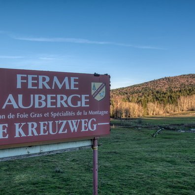
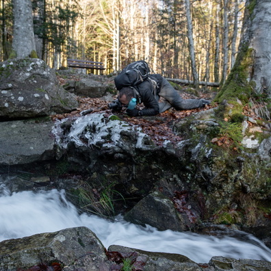
- iptc_title
- Skying map (don't know where I am on it)
Powered by Piwigo