")
 Download Photo


Information
- Rating score
- no rate
- Rate this photo
- Created on
- Tuesday 25 February 2020
- Posted on
- Thursday 27 February 2020
- Visits
- 4460
EXIF Metadata
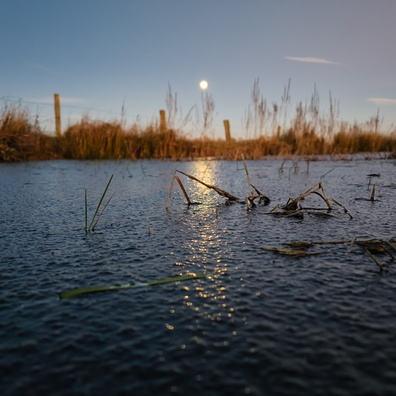
OnePlus ONEPLUS A5010
- Make
- OnePlus
- Model
- ONEPLUS A5010
- DateTimeOriginal
- 2020:02:25 09:00:28
- ApertureFNumber
- f/1.7
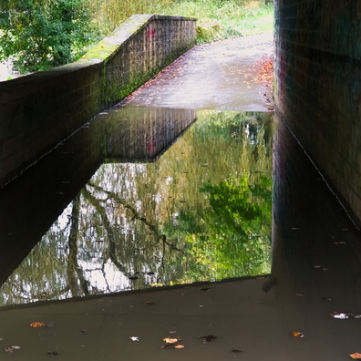
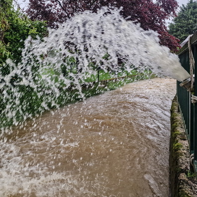
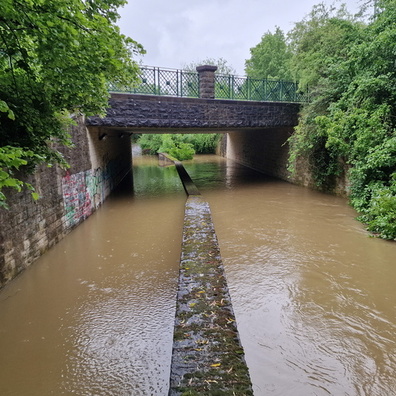
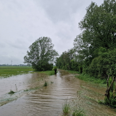
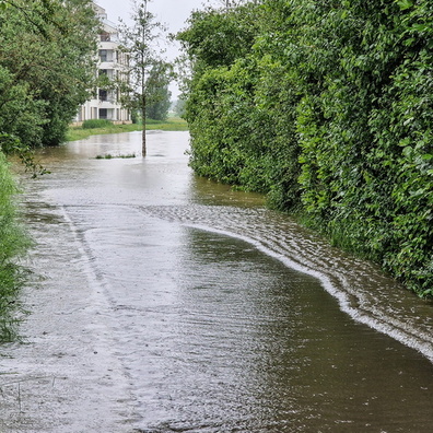
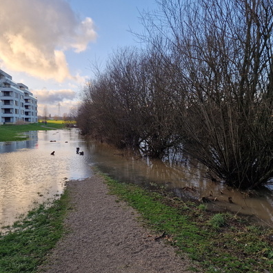
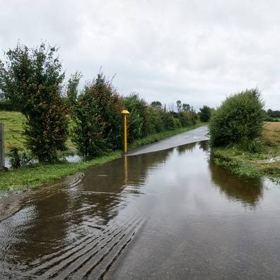
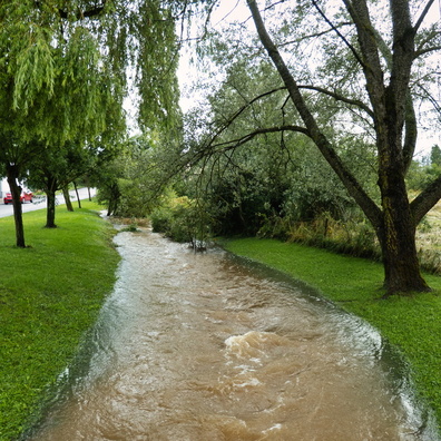
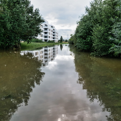
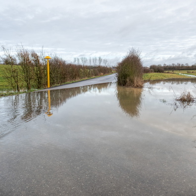
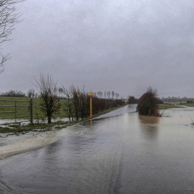
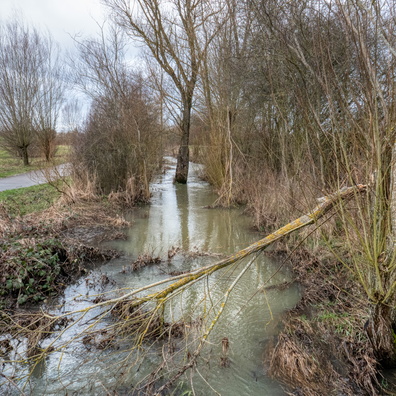
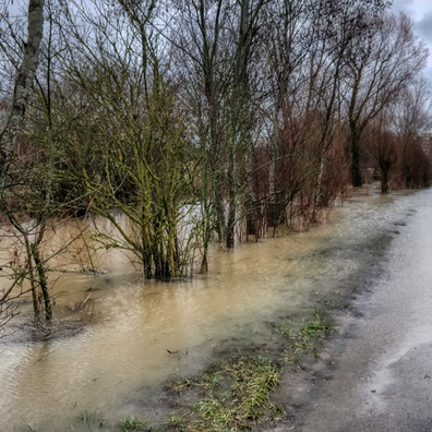
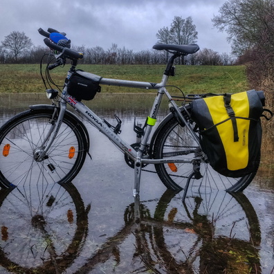
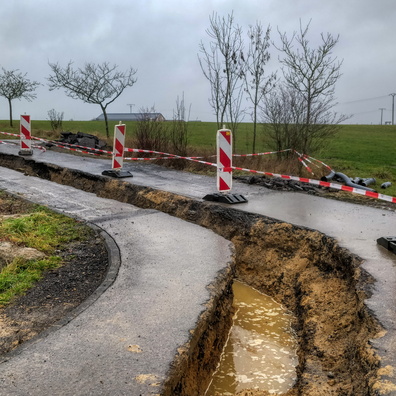
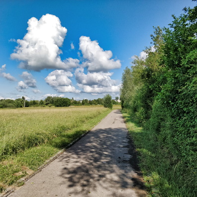
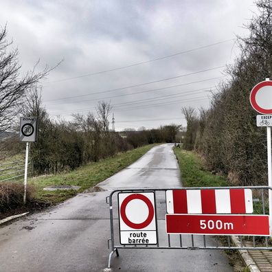
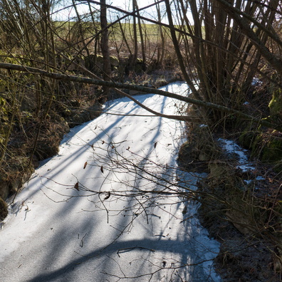
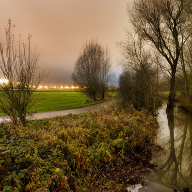
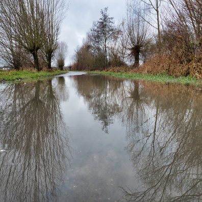
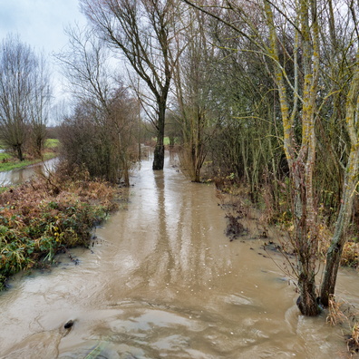
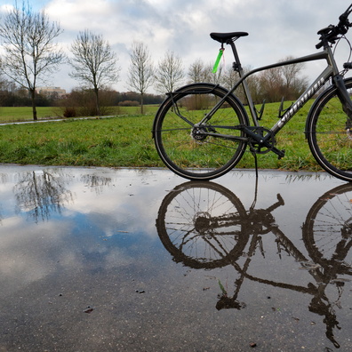
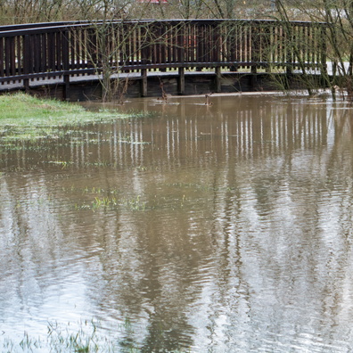
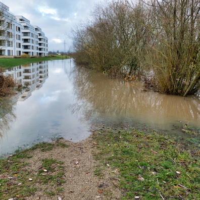
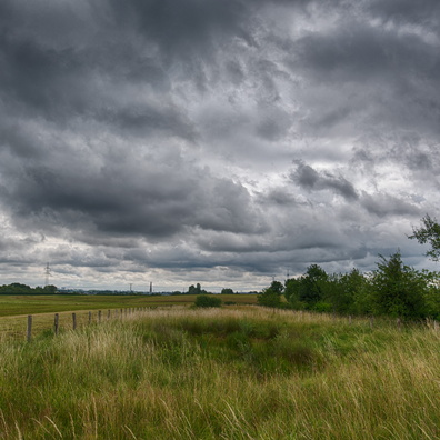
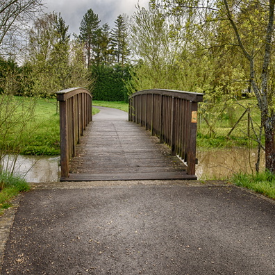
- iptc_title
- Flooded way near Bertrange
Powered by Piwigo