43/164
")
 Download Photo
)
)
)
)
)
- Palette
- Created on
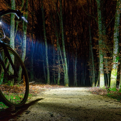
- Tuesday 25 February 2020
- Posted on
- Thursday 27 February 2020
- Tags
- bike2work, country:Luxembourg, country_code:lu, county:Canton Luxembourg, flood, hamlet:Grevels-Barrière, hiking:CFL 36, mvos365, nature_reserve:Kommunales Naturschutzgebeit Grafelt, postcode:8053, Regional cycling route between Bertrange and Garnich, road:Rue des Champs, village:Bertrange, water
- Albums
- Visits
- 3688
- Location
- View on OpenStreetMap
- Rating score
- no rate
- Rate this photo
- Make
- OnePlus
- Model
- ONEPLUS A5010
- DateTimeOriginal
- 2020:02:25 09:00:28
- ApertureFNumber
- f/1.7
- iptc_keywords
- Regional cycling route between Bertrange and Garnich, bike2work, country:Luxembourg, country_code:lu, county:Canton Luxembourg, flood, hamlet:Grevels-Barrière, hiking:CFL 36, mvos365, nature_reserve:Kommunales Naturschutzgebeit Grafelt, postcode:8053, road:Rue des Champs, village:Bertrange, water
- iptc_caption
- Only two inches deep (5 cm)
0 comments