
 Download Photo


Information
- Rating score
- no rate
- Rate this photo
- Created on
- Monday 3 February 2020
- Posted on
- Thursday 27 February 2020
- Visits
- 4552
EXIF Metadata
Panasonic DMC-TZ100
- Make
- Panasonic
- Model
- DMC-TZ100
- DateTimeOriginal
- 2020:02:03 09:15:18
- ApertureFNumber
- f/2.8
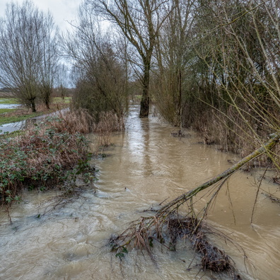
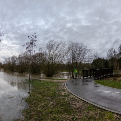
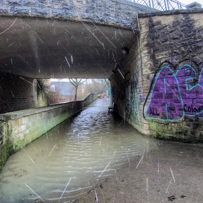
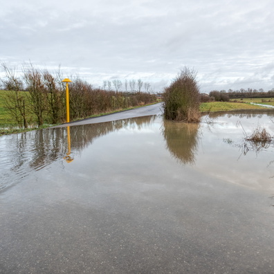
- iptc_title
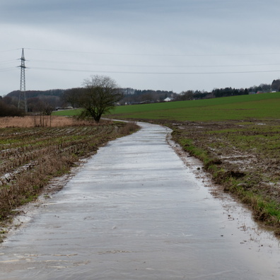
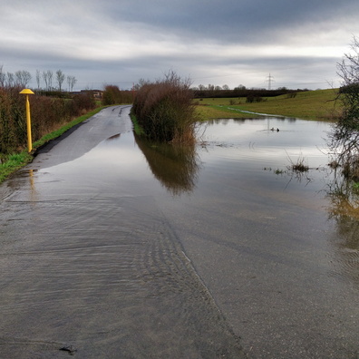
- Flooded way between Bertrange and Mamer
Powered by Piwigo