
 Download Photo


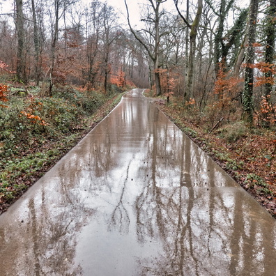
Information
- Rating score
- no rate
- Rate this photo
- Created on
- Friday 6 March 2020
- Posted on
- Friday 27 March 2020
- Visits
- 3849
EXIF Metadata
Panasonic DMC-TZ100
- Make
- Panasonic
- Model
- DMC-TZ100
- DateTimeOriginal
- 2020:03:06 08:54:30
- ApertureFNumber
- f/2.8
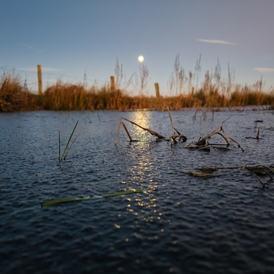
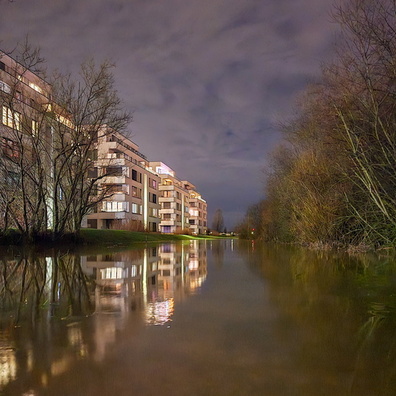
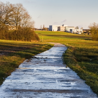
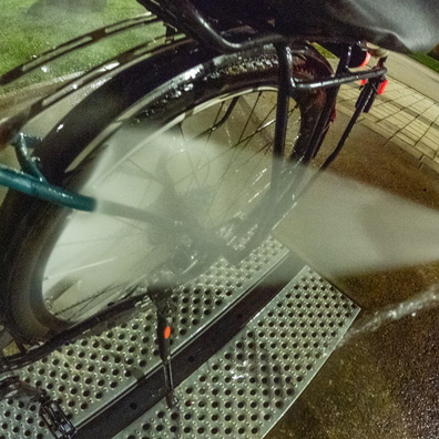
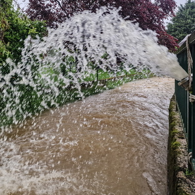
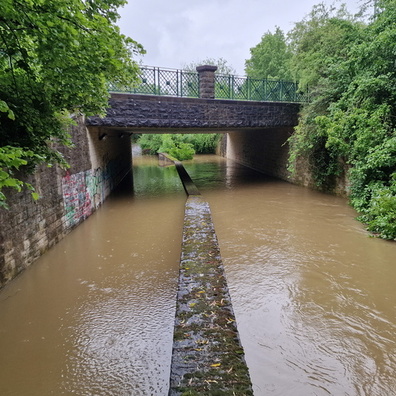
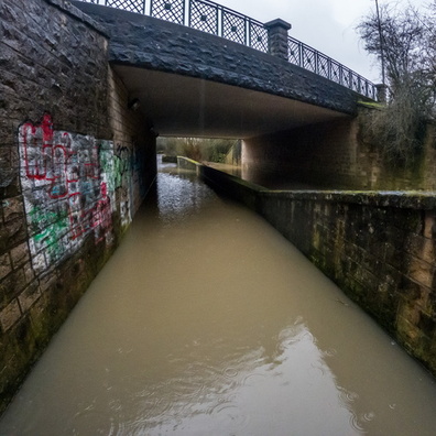
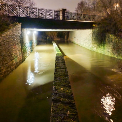
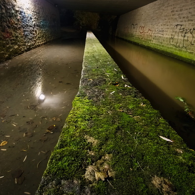
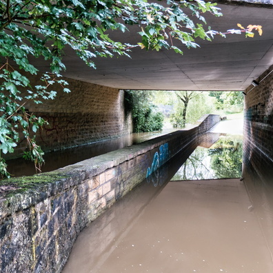
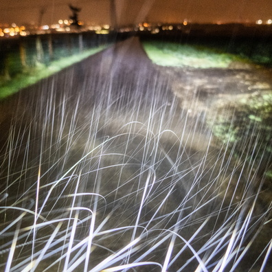
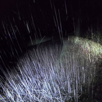
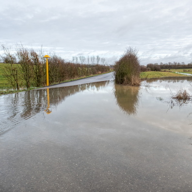
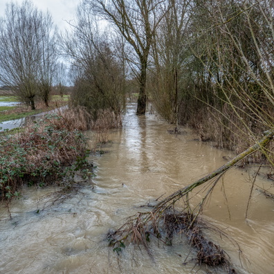
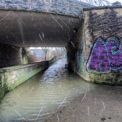
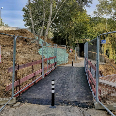
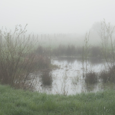
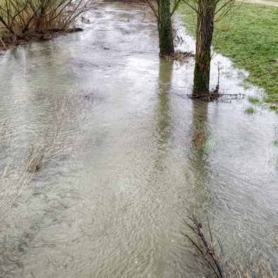
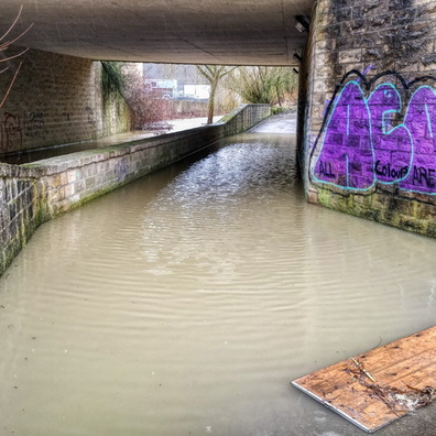
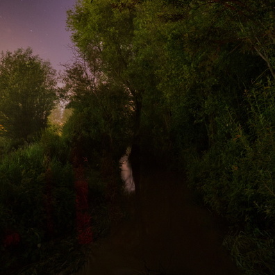
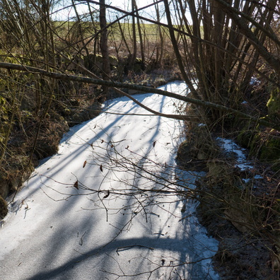
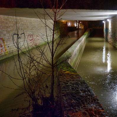
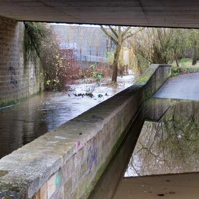
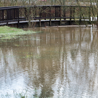
- iptc_title
- Flooded underpass
Powered by Piwigo