
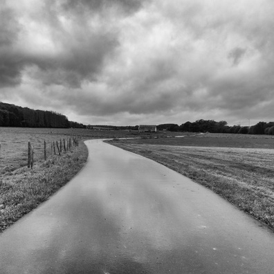
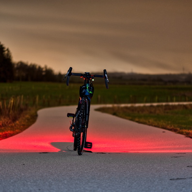
 Download Photo


Information
- Rating score
- no rate
- Rate this photo
- Created on
- Tuesday 11 February 2025
- Posted on
- Thursday 20 February 2025
- Visits
- 490
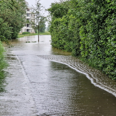
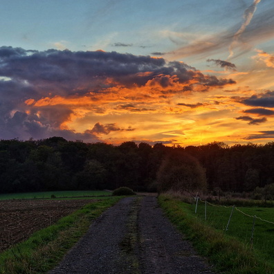
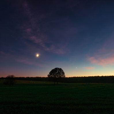
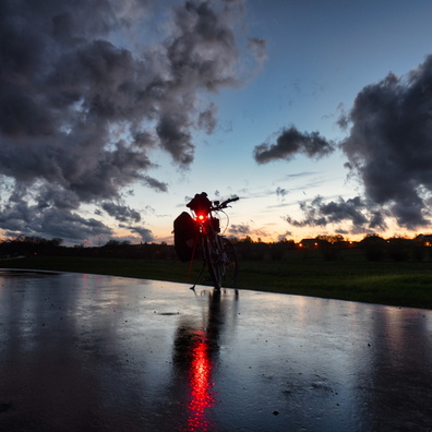
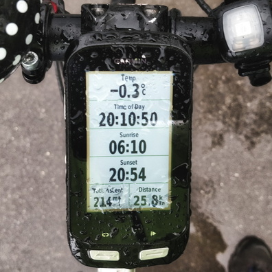
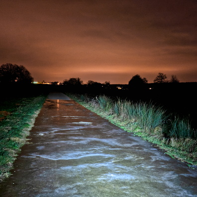
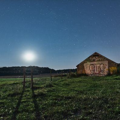
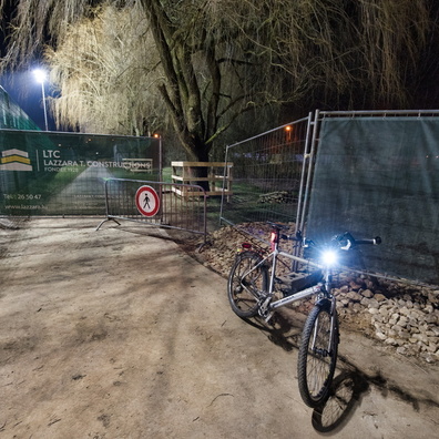
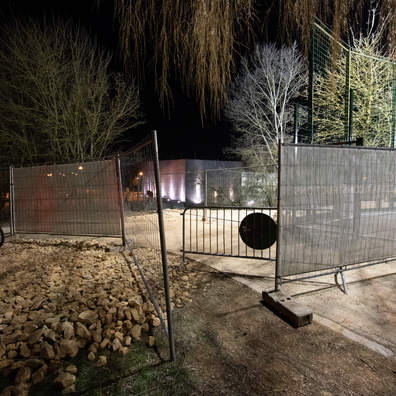
EXIF Metadata
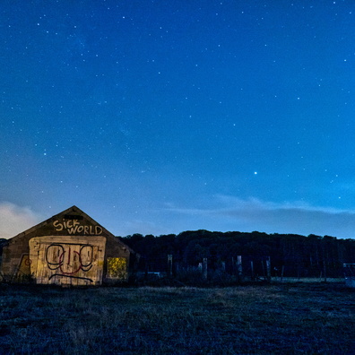
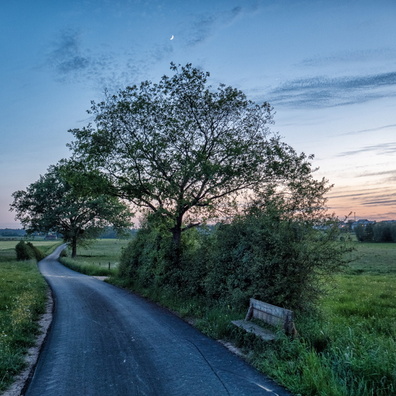
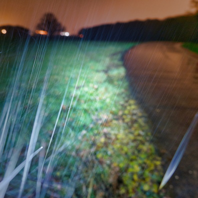
GoPro HERO13 Black
- Make
- GoPro
- Model
- HERO13 Black
- DateTimeOriginal
- 2025:02:11 19:32:12
- ApertureFNumber
- f/2.5
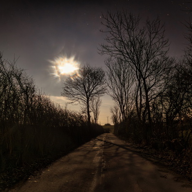
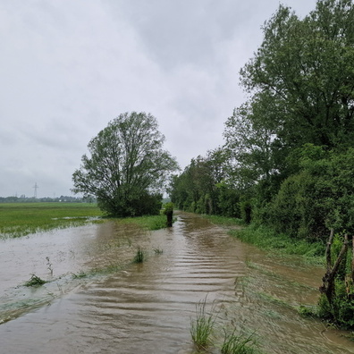
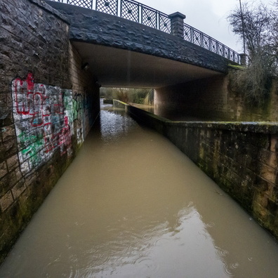
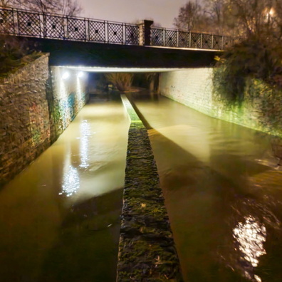
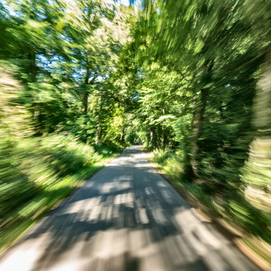
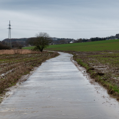
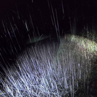
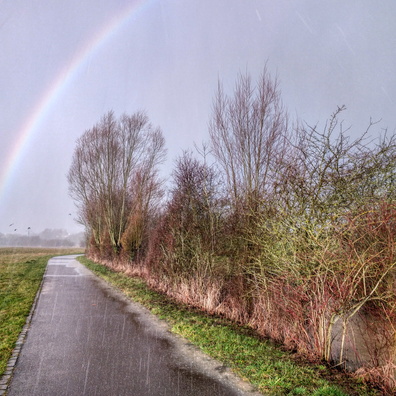
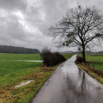
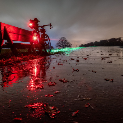
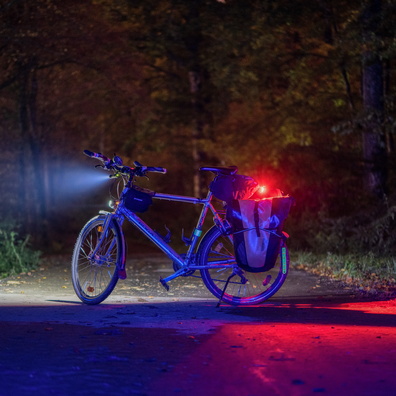
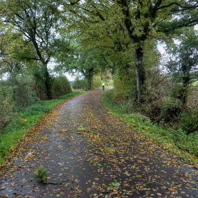
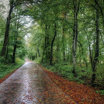
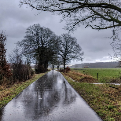
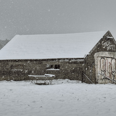
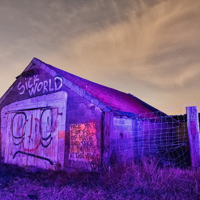
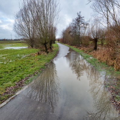
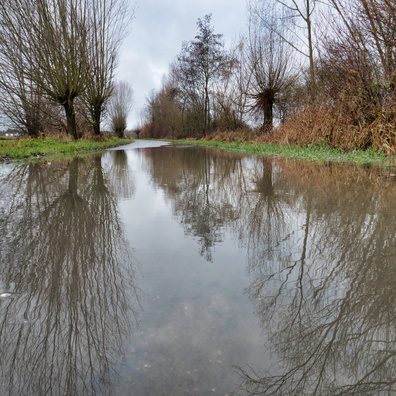
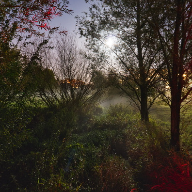
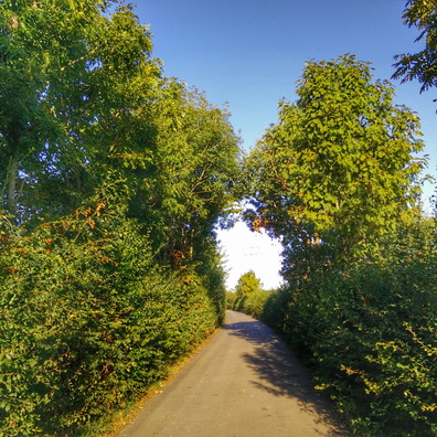
- iptc_title
- Pathway to the Moonlit Realm
Powered by Piwigo