10764/23002

 Download Photo
)
)
)
)
)
- Palette
- Created on
- Saturday 19 December 2020
- Posted on
- Tuesday 29 December 2020
- Tags
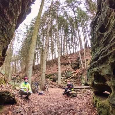
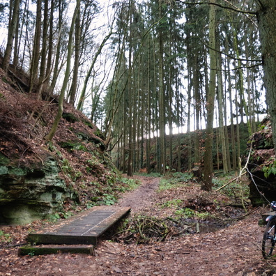
- country:Lëtzebuerg, country_code:lu, county:Canton Echternach, hiking:Mullerthal Trail Route 2, hiking:Sentier Fred Welter, hiking:Youthhostel Trail Echternach-Graulinster, hiking:Youthhostel Trail Larochette-Echternach, natural:Méchelskierch, postcode:6252, road:Ancienne ligne Luxembourg - Echternach, village:Wolper
- Albums
- Visits
- 1718
- Location
- View on OpenStreetMap
- Rating score
- no rate
- Rate this photo
- Make
- GoPro
- Model
- HERO7 Black
- DateTimeOriginal
- 2020:12:19 12:24:34
- ApertureFNumber
- f/2.8
- iptc_keywords
- country:Lëtzebuerg, country_code:lu, county:Canton Echternach, hiking:Mullerthal Trail Route 2, hiking:Sentier Fred Welter, hiking:Youthhostel Trail Echternach-Graulinster, hiking:Youthhostel Trail Larochette-Echternach, natural:Méchelskierch, postcode:6252, road:Ancienne ligne Luxembourg - Echternach, village:Wolper
- iptc_caption
- Former habitation of an hermit named Michael around 18th century.
0 comments