
 Download Photo


Information
- Rating score
- no rate
- Rate this photo
- Created on
- Tuesday 29 June 2021
- Posted on
- Wednesday 20 October 2021
- Visits
- 2081
EXIF Metadata
Panasonic DC-TZ200
- Make
- Panasonic
- Model
- DC-TZ200
- DateTimeOriginal
- 2021:06:29 15:08:46
- ApertureFNumber
- f/4.6
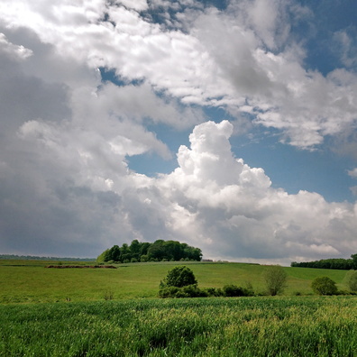
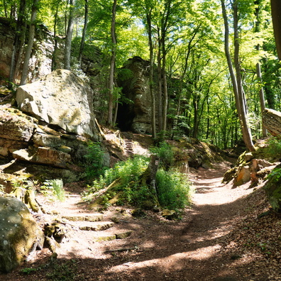
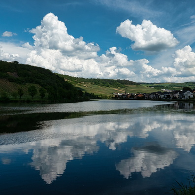
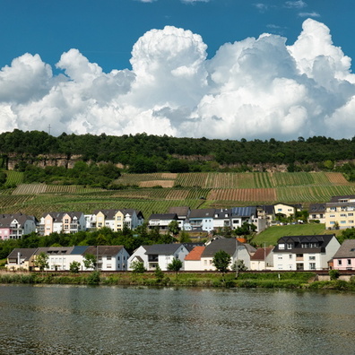
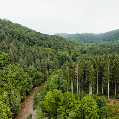
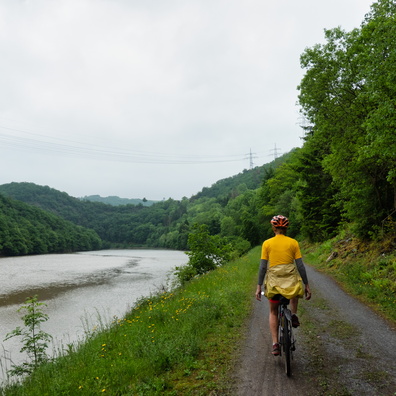
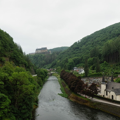
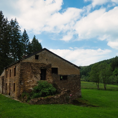
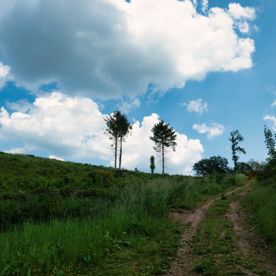
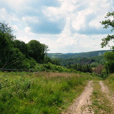
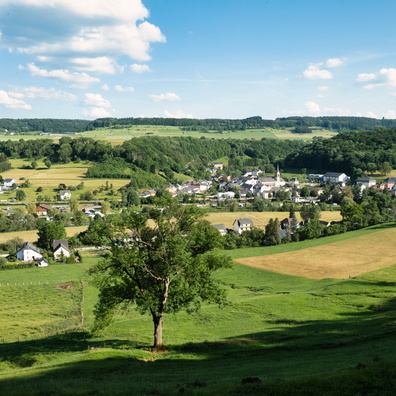
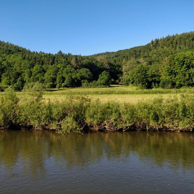
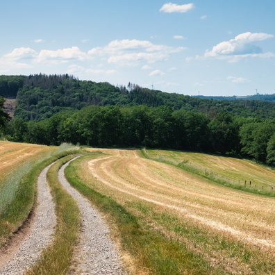
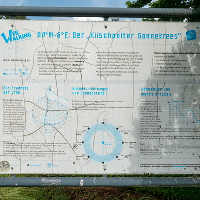
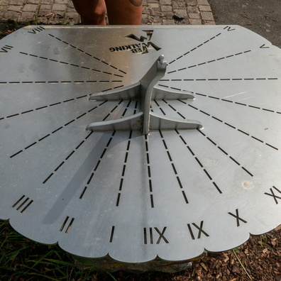
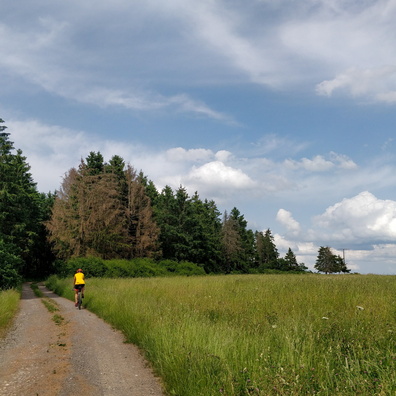
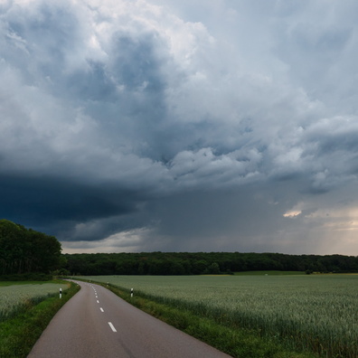
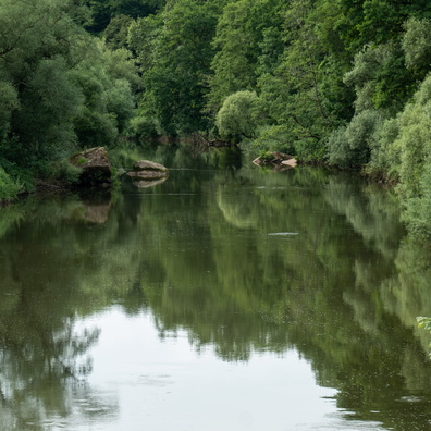
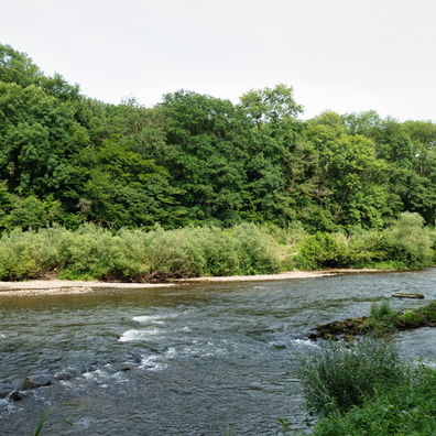
- iptc_title
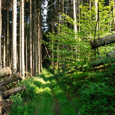
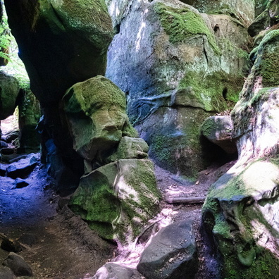
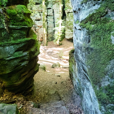
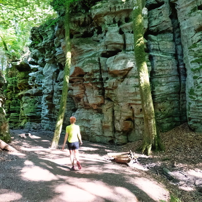
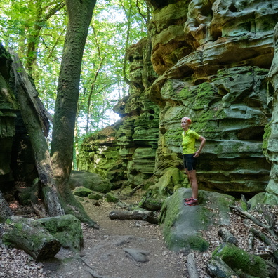
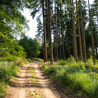
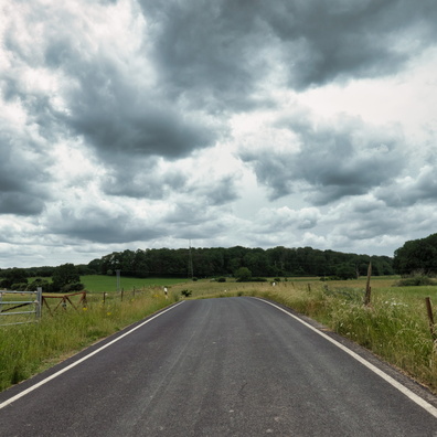
- Cloud and forest near Schlindermanderscheid
Powered by Piwigo