912/3039

 Download Photo
)
)
)
)
)
- Palette
- Created on
- Tuesday 29 June 2021
- Posted on
- Wednesday 20 October 2021
- Tags
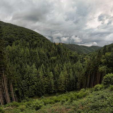
- bike, country:Lëtzebuerg, country_code:lu, county:Canton Diekirch, hiking:Autopédestre Schlindermanderscheid, hiking:Escapardenne Lee Trail, hiking:GR 57, hiking:Sentier du Nord, hiking:Vallée de l'Ourthe-Gilsdorf, house_number:11, MTB trail:Hoscheid, postcode:9183, road:Kiirfechtswee, smile, village:Schlindermanderscheid
- Albums
- Visits
- 1446
- Location
- View on OpenStreetMap
- Rating score
- no rate
- Rate this photo
- Make
- GoPro
- Model
- HERO9 Black
- DateTimeOriginal
- 2021:06:29 14:44:51
- ApertureFNumber
- f/2.5
- iptc_keywords
- MTB trail:Hoscheid, bike, country:Lëtzebuerg, country_code:lu, county:Canton Diekirch, hiking:Autopédestre Schlindermanderscheid, hiking:Escapardenne Lee Trail, hiking:GR 57, hiking:Sentier du Nord, hiking:Vallée de l'Ourthe-Gilsdorf, house_number:11, postcode:9183, road:Kiirfechtswee, smile, village:Schlindermanderscheid
- iptc_caption
- C:\DCIM\100GOPRO\GOPR3921.GPR
0 comments