
 Download Photo


Information
- Rating score
- no rate
- Rate this photo
- Created on
- Friday 9 July 2021
- Posted on
- Sunday 31 October 2021
- Visits
- 4294
EXIF Metadata
GoPro HERO9 Black
- Make
- GoPro
- Model
- HERO9 Black
- DateTimeOriginal
- 2021:07:09 15:52:22
- ApertureFNumber
- f/2.5
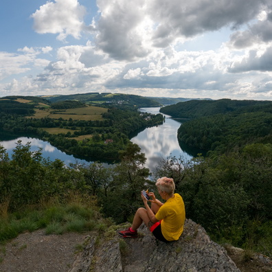
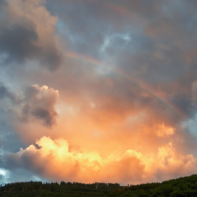
- iptc_title
- Viewpoint op der Runschelt
Powered by Piwigo