Home
Map of the Our river
Photo sizes
S - small
(576 x 384)
M - medium
(792 x 528)
L - large
(1008 x 672)
XL - extra large
(1656 x 1104)
XXL - huge
(2048 x 1365)
slideshow
Download Photo
Information
Location
Plugin by
xbgmsharp
Leaflet
©
OpenStreetMap
contributors, (
ODbL
)
View on OpenStreetMap
Rating score
no rating
Rate this photo
Created on
Sunday 8 August 2021
Posted on
Thursday 2 December 2021
Visits
454
Albums
Cycling
/
Cycling life
/
2021 - Q3
Hiking and walking
/
Luxembourg National Footpaths
/
Sentier de l'Our
Places
/
Belgium
Keywords
country:België / Belgique / Belgien
country_code:be
county:Verviers
hiking:European long distance path E2
hiking:GR 5
hiking:Sentier de l'Our
map
postcode:4790
region:Wallonie
state:Liège
village:Ouren
EXIF Metadata
Panasonic DC-TZ200
Show EXIF data
Make
Panasonic
Model
DC-TZ200
DateTimeOriginal
2021:08:08 15:31:54
ApertureFNumber
f/4.5
iptc_keywords
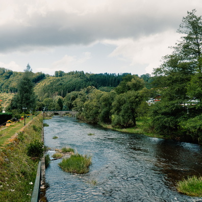
country:België / Belgique / Belgien, country_code:be, county:Verviers, hiking:European long distance path E2, hiking:GR 5, hiking:Sentier de l'Our, map, postcode:4790, region:Wallonie, state:Liège, village:Ouren
Powered by
Piwigo