319/422

 Download Photo
)
)
)
)
)
- Palette
- Created on
- Saturday 11 September 2021
- Posted on
- Tuesday 28 December 2021
- Tags
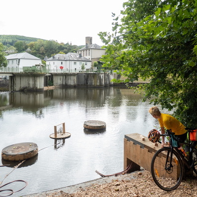
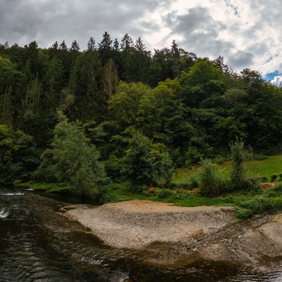
- country:Lëtzebuerg, country_code:lu, county:Canton Wiltz, hiking:Ardennes-Eifel, hiking:Autopédestre Esch-sur-Sûre 2, hiking:European long distance path E3, hiking:GR 15, hiking:Sentier Charles Mathieu, map, postcode:9650, tourduduerf, village:Esch-sur-Sûre
- Albums
- Visits
- 2030
- Location
- View on OpenStreetMap
- Rating score
- no rate
- Rate this photo
- Make
- OnePlus
- Model
- ONEPLUS A5010
- DateTimeOriginal
- 2021:09:11 15:16:11
- ApertureFNumber
- f/1.7
- iptc_keywords
- country:Lëtzebuerg, country_code:lu, county:Canton Wiltz, hiking:Ardennes-Eifel, hiking:Autopédestre Esch-sur-Sûre 2, hiking:European long distance path E3, hiking:GR 15, hiking:Sentier Charles Mathieu, map, postcode:9650, tourduduerf, village:Esch-sur-Sûre
0 comments