
 Download Photo


Information
- Rating score
- no rate
- Rate this photo
- Created on
- Sunday 24 October 2021
- Posted on
- Sunday 2 January 2022
- Visits
- 2008
EXIF Metadata
GoPro HERO9 Black
- Make
- GoPro
- Model
- HERO9 Black
- DateTimeOriginal
- 2021:10:24 15:22:10
- ApertureFNumber
- f/2.5
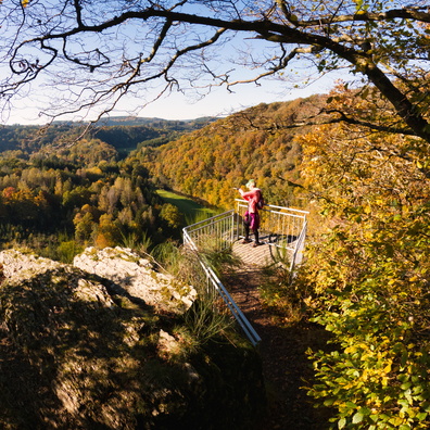
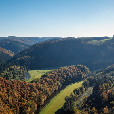
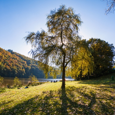
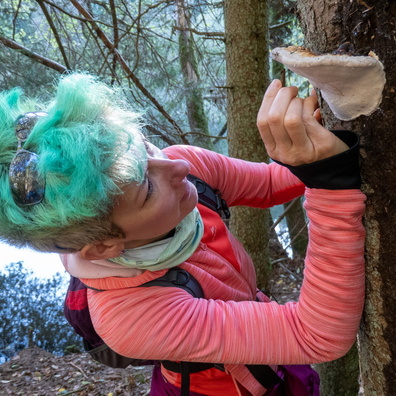
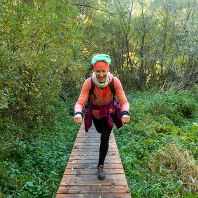
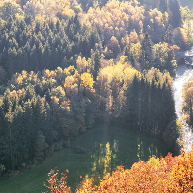
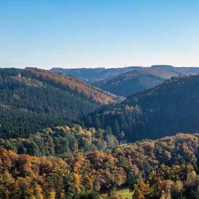
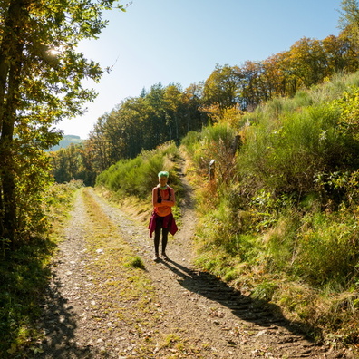
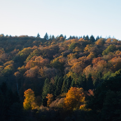
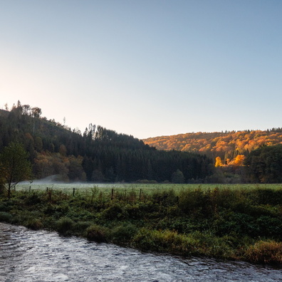
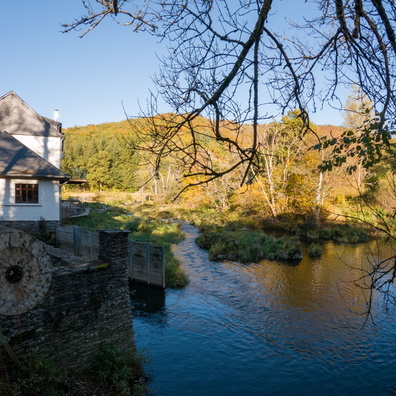
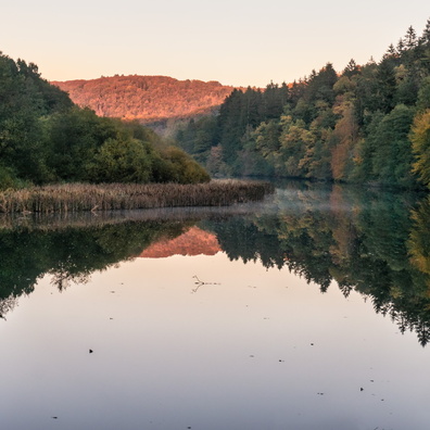
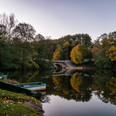
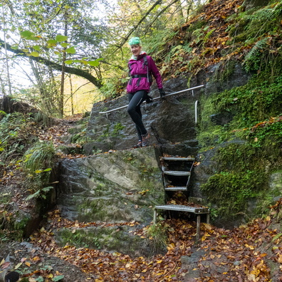
- iptc_title
- Hiking near Misärsbreck
Powered by Piwigo