
 Download Photo


Information
- Rating score
- no rate
- Rate this photo
- Created on
- Monday 30 May 2022
- Posted on
- Wednesday 21 September 2022
- Visits
- 2309
EXIF Metadata
samsung SM-S908B
- Make
- samsung
- Model
- SM-S908B
- DateTimeOriginal
- 2022:05:30 15:07:08
- ApertureFNumber
- f/2.4
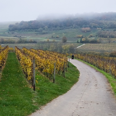
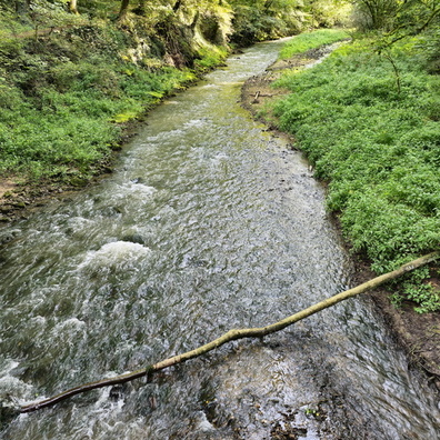
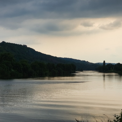
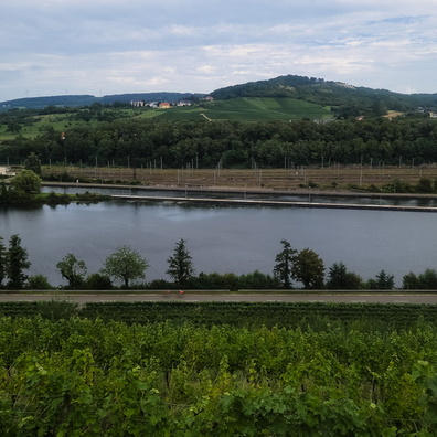
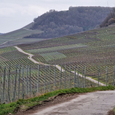
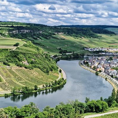
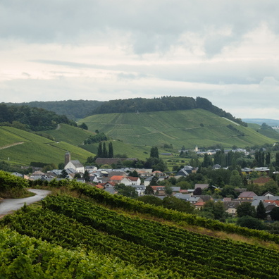
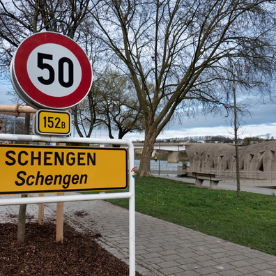
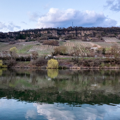
- iptc_title
- Moselle valley
Powered by Piwigo