
 Download Photo


Information
- Rating score
- no rate
- Rate this photo
- Created on
- Monday 31 July 2023
- Posted on
- Saturday 11 November 2023
- Visits
- 404
- Albums
- Outdoor adventures / 2023 / July 2023
EXIF Metadata
samsung SM-S908B
- Make
- samsung
- Model
- SM-S908B
- DateTimeOriginal
- 2023:07:31 13:24:04
- ApertureFNumber
- f/1.8
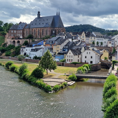
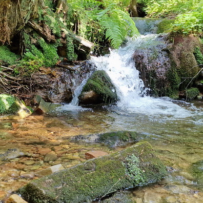
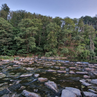
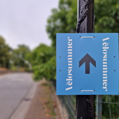
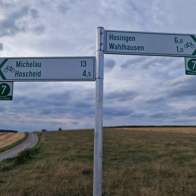
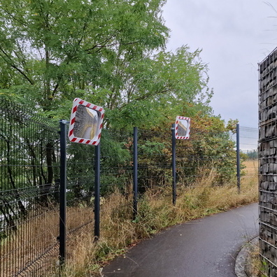
- iptc_title
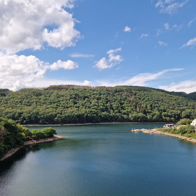
- Water distribution map near Mondorf-les-Bains
Powered by Piwigo