
 Download Photo
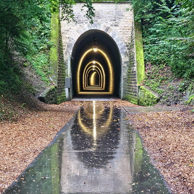


Information
- Rating score
- no rate
- Rate this photo
- Created on
- Wednesday 23 August 2023
- Posted on
- Sunday 3 December 2023
- Visits
- 818
EXIF Metadata
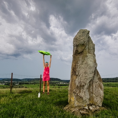
samsung SM-S908B
- Make
- samsung
- Model
- SM-S908B
- DateTimeOriginal
- 2023:08:23 16:40:24
- ApertureFNumber
- f/1.8
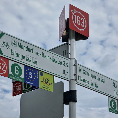
- iptc_title
- Rollercoaster on the GPS
Powered by Piwigo