
 Download Photo


Information
- Rating score
- no rate
- Rate this photo
- Created on
- Thursday 23 November 2023
- Posted on
- Thursday 28 December 2023
- Visits
- 967
EXIF Metadata
samsung SM-S908B
- Make
- samsung
- Model
- SM-S908B
- DateTimeOriginal
- 2023:11:23 12:34:31
- ApertureFNumber
- f/2.4
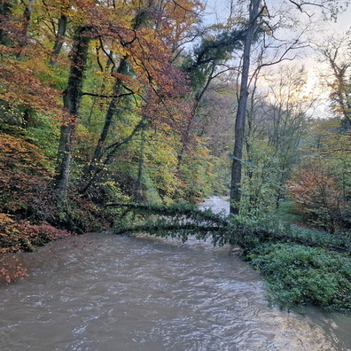
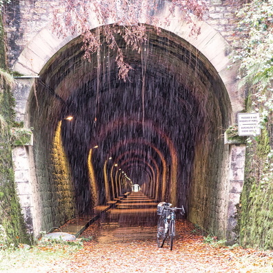
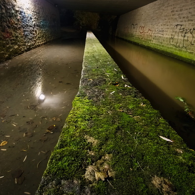
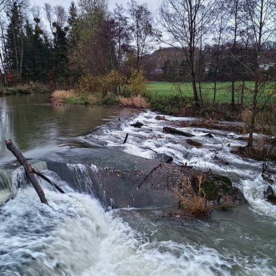
- iptc_title
- Flooded cycleway in Diekirch
Powered by Piwigo