
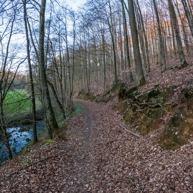
 Download Photo
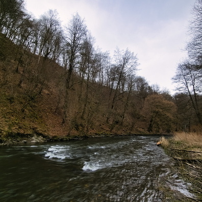


Information
- Rating score
- no rate
- Rate this photo
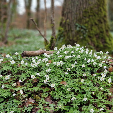
- Created on
- Wednesday 21 February 2024
- Posted on
- Monday 1 April 2024
- Visits
- 405
- Albums
-
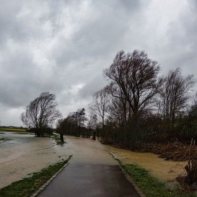
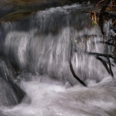
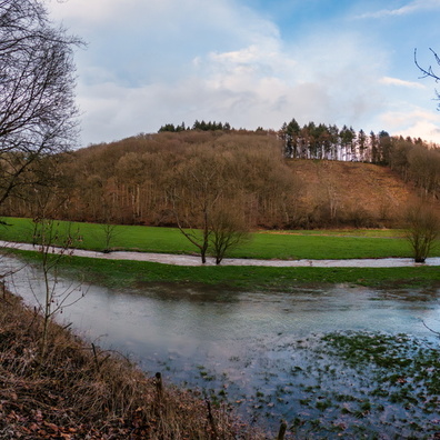
Outdoor adventures / 2024 / February 2024
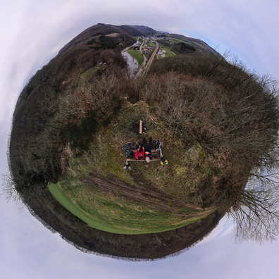
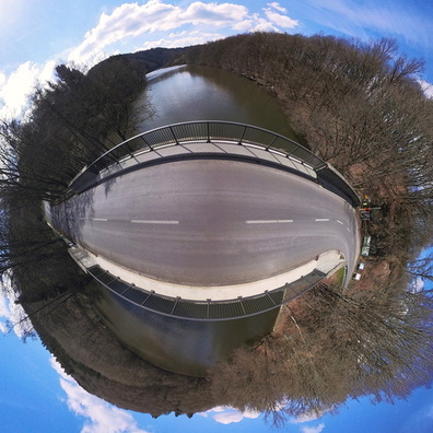
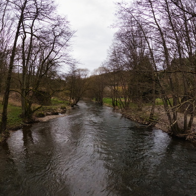
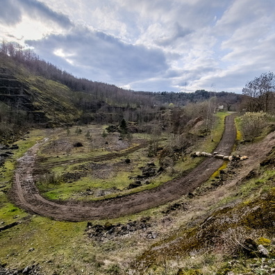
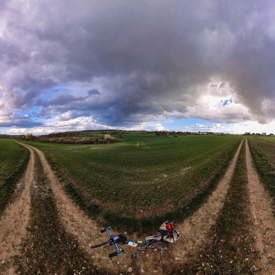
Panorama
EXIF Metadata
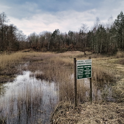
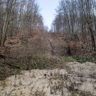
Insta360 X3.PHOTO_NORMAL
- Make
- Insta360
- Model
- X3.PHOTO_NORMAL
- ApertureFNumber
- f/1.9
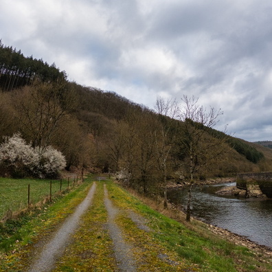
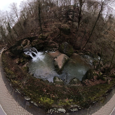
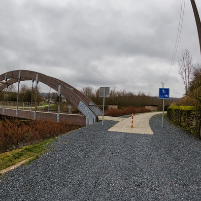
- iptc_title
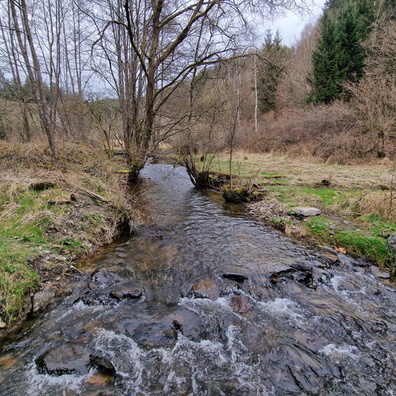
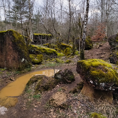
- Schiessentümpel panorama
Powered by Piwigo