
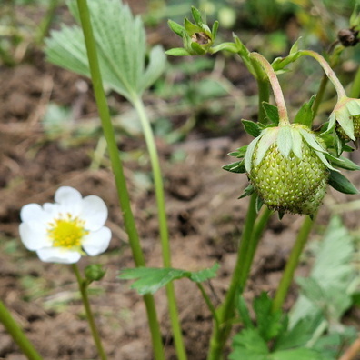
 Download Photo


Information
- Rating score
- no rate
- Rate this photo
- Created on
- Tuesday 19 March 2024
- Posted on
- Thursday 25 April 2024
- Visits
- 701
EXIF Metadata
- DateTimeOriginal
- 2024:03:19 17:38:27
- ApertureFNumber
- f/1.9
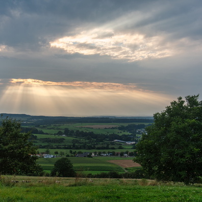
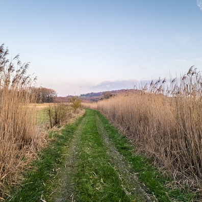
- iptc_title
- Hunnebur
Powered by Piwigo