
 Download Photo


Information
- Rating score
- no rate
- Rate this photo
- Created on
- Thursday 11 April 2024
- Posted on
- Friday 14 June 2024
- Visits
- 224
EXIF Metadata
samsung SM-S908B
- Make
- samsung
- Model
- SM-S908B
- DateTimeOriginal
- 2024:04:11 20:26:51
- ApertureFNumber
- f/1.8
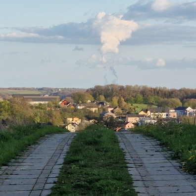
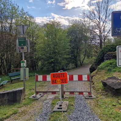
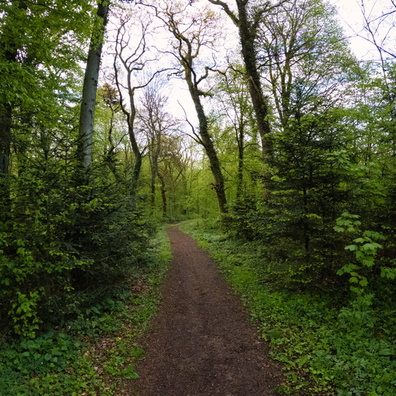
- iptc_title
- Closed road in Ettelbruck
Powered by Piwigo