
 Download Photo


Information
- Rating score
- no rate
- Rate this photo
- Created on
- Sunday 18 August 2024
- Posted on
- Friday 27 December 2024
- Visits
- 389
EXIF Metadata
NIKON CORPORATION NIKON D750
- Make
- NIKON CORPORATION
- Model
- NIKON D750
- DateTimeOriginal
- 2024:08:18 16:49:15
- ApertureFNumber
- f/2.8
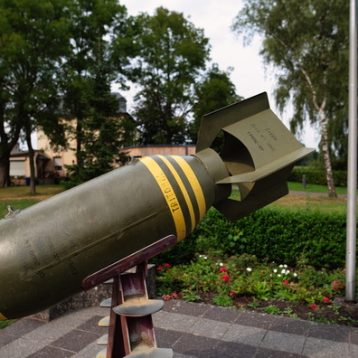
- iptc_title
- Uncovering History: bomb in Consdorf
Powered by Piwigo