
 Download Photo


Information
- Rating score
- no rate
- Rate this photo
- Created on
- Tuesday 17 September 2024
- Posted on
- Monday 30 December 2024
- Visits
- 547
EXIF Metadata
samsung Galaxy S24 Ultra
- Make
- samsung
- Model
- Galaxy S24 Ultra
- DateTimeOriginal
- 2024:09:17 17:38:36
- ApertureFNumber
- f/1.7
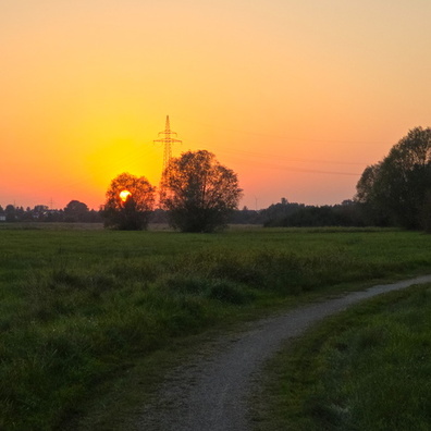
- iptc_title
- Let's go for a walk
Powered by Piwigo