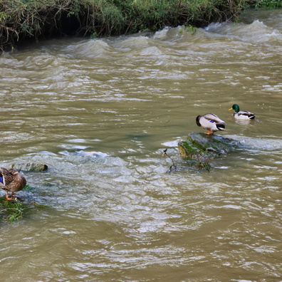
Home
When the river's on a diet
Photo sizes
S - small
(576 x 384)
M - medium
(792 x 528)
L - large
(1008 x 672)
XL - extra large
(1656 x 1104)
XXL - huge
(2048 x 1365)
slideshow
Download Photo
The Ourl river flows through a valley.
Information
Palette
Search
Location
Plugin by
xbgmsharp
Leaflet
©
OpenStreetMap
contributors, (
ODbL
)
View on OpenStreetMap
Rating score
no rate
Rate this photo
Created on
Friday 11 October 2024
Posted on
Thursday 2 January 2025
Visits
352
Albums
Outdoor adventures
/
2024
/
October 2024
Tags
afternoon
Ardennes
autumn
bank
brown
cloud
country:Deutschland
country_code:de
county:Eifelkreis Bitburg-Prüm
foliage
forest
Go Go VELO
green
hiking:Camino de Santiago
hiking:NaturWanderPark delux - Nat'Our Route 4
hiking:Way of Saint James
hillside
ISO3166-2-lvl4:DE-RP
municipality:Südeifel
Oesling
Our
Ourdall
postcode:54673
river
riverbed
road:Dorfstraße
sky
state:Rheinland-Pfalz
sun
treeline
tributary
valley
village:Waldhof-Falkenstein
water
yellow
EXIF Metadata
samsung Galaxy S24 Ultra
Show EXIF data
Make
samsung
Model
Galaxy S24 Ultra
DateTimeOriginal
2024:10:11 16:12:38
ApertureFNumber
f/2.4
iptc_title
When the river's on a diet
Powered by
Piwigo