
 Download Photo


Information
- Rating score
- no rate
- Rate this photo
- Created on
- Tuesday 26 November 2024
- Posted on
- Sunday 5 January 2025
- Visits
- 828
EXIF Metadata
GoPro HERO13 Black
- Make
- GoPro
- Model
- HERO13 Black
- DateTimeOriginal
- 2024:11:26 14:40:48
- ApertureFNumber
- f/2.5
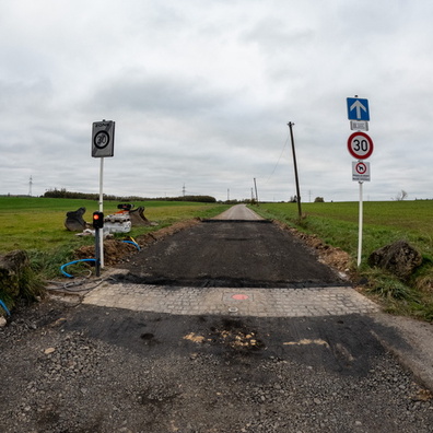
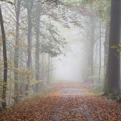
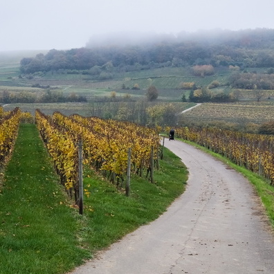
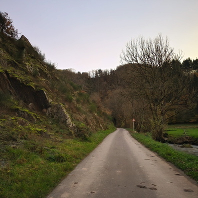
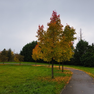
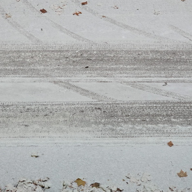
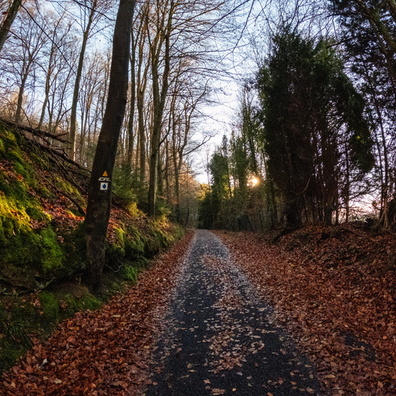
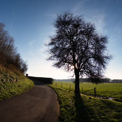
- iptc_title
- Which way did the road go?
Powered by Piwigo