
 Download Photo


Information
- Rating score
- no rate
- Rate this photo
- Created on
- Monday 6 January 2025
- Posted on
- Thursday 9 January 2025
- Visits
- 731
EXIF Metadata
samsung Galaxy S24 Ultra
- Make
- samsung
- Model
- Galaxy S24 Ultra
- DateTimeOriginal
- 2025:01:06 14:37:26
- ApertureFNumber
- f/1.7
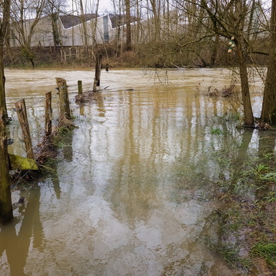
- iptc_title
- When the Cycle Path Becomes Water and Wood Features
Powered by Piwigo