
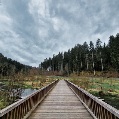
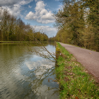
 Download Photo
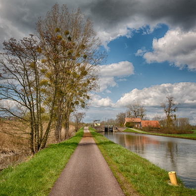


Information
- Rating score
- no rate
- Rate this photo
- Created on
- Thursday 6 February 2025
- Posted on
- Monday 10 February 2025
- Visits
- 489
- Albums
- Outdoor adventures / 2025 / February 2025
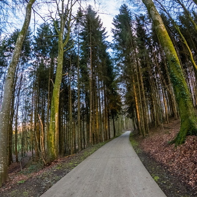
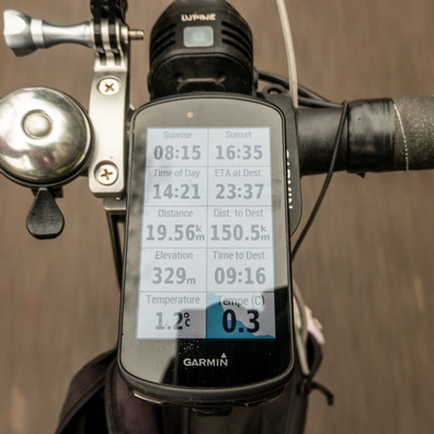
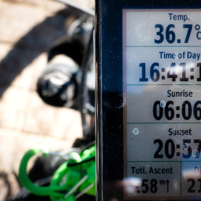
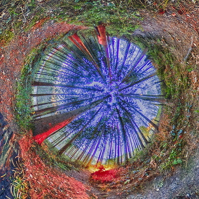
EXIF Metadata
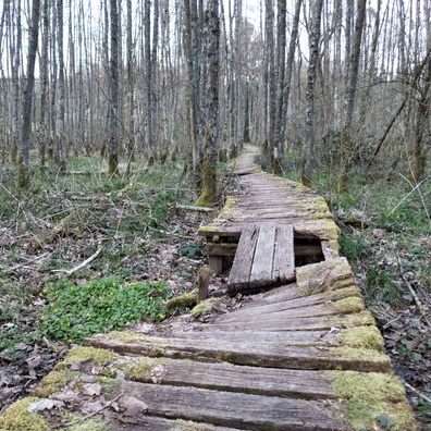
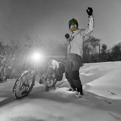
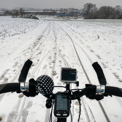
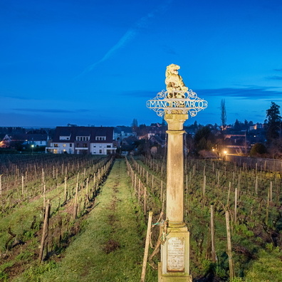
GoPro HERO13 Black
- Make
- GoPro
- Model
- HERO13 Black
- DateTimeOriginal
- 2025:02:06 16:41:47
- ApertureFNumber
- f/2.5
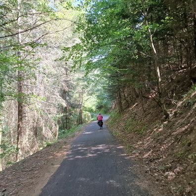
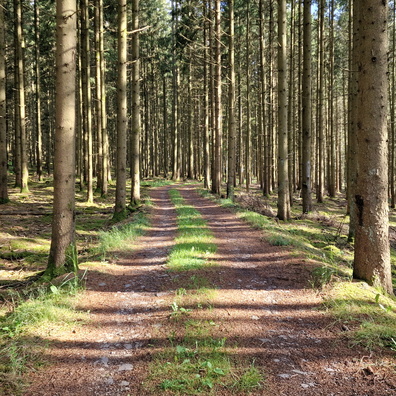
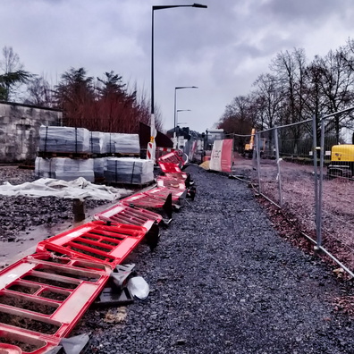
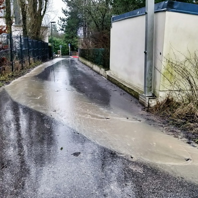
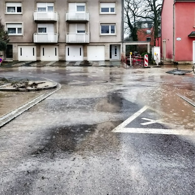
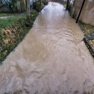
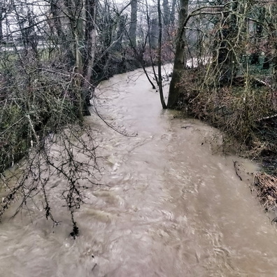
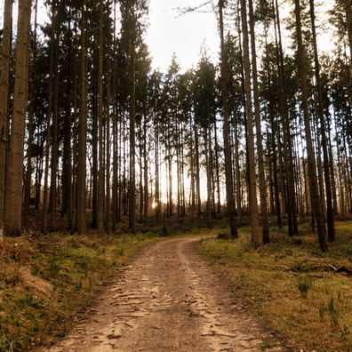
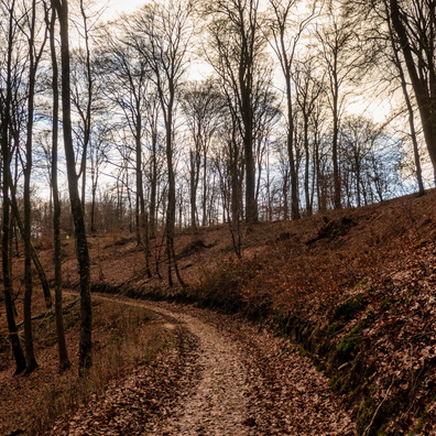
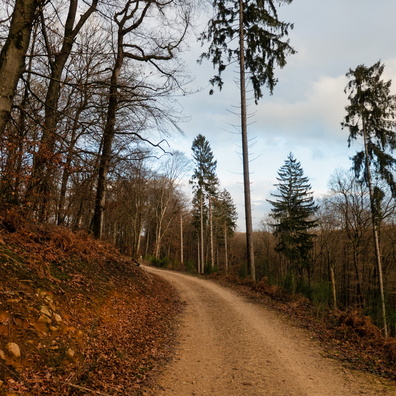
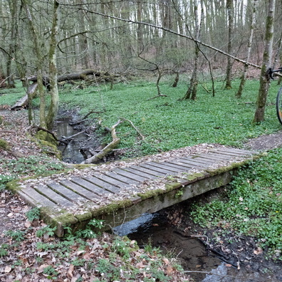
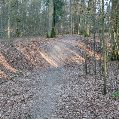
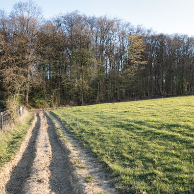
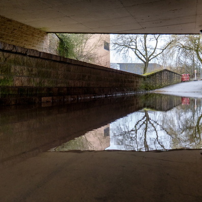
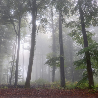
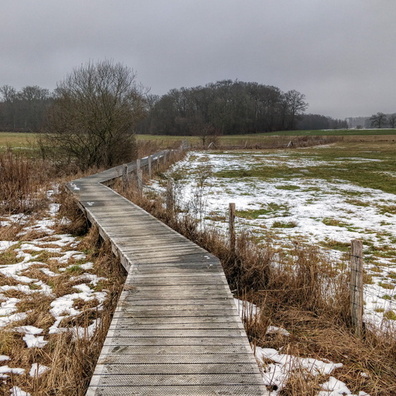
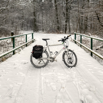
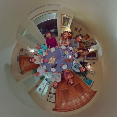
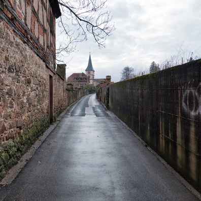
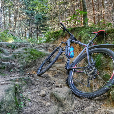
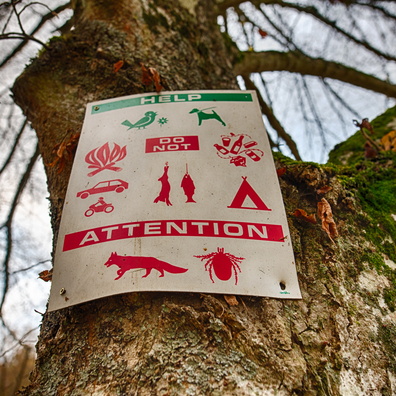
- iptc_title
- Just Another 'Scenic' Route
Powered by Piwigo