
 Download Photo


Information
- Rating score
- no rate
- Rate this photo
- Created on
- Saturday 22 February 2025
- Posted on
- Friday 14 March 2025
- Visits
- 384
EXIF Metadata
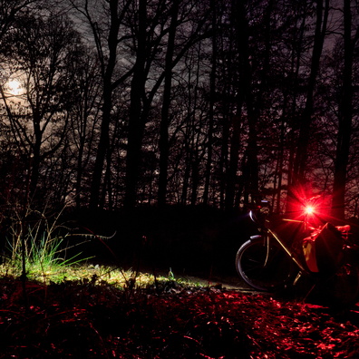
GoPro HERO13 Black
- Make
- GoPro
- Model
- HERO13 Black
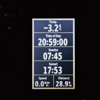
- DateTimeOriginal
- 2025:02:22 17:17:46
- ApertureFNumber
- f/2.5
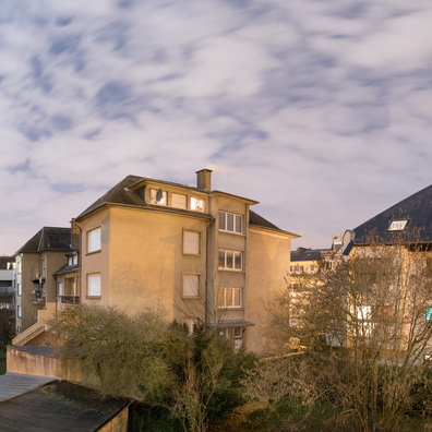
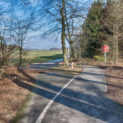
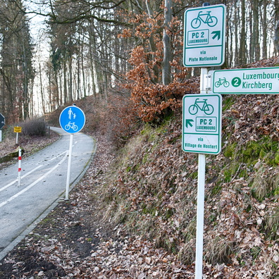
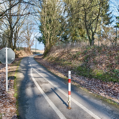
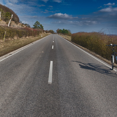
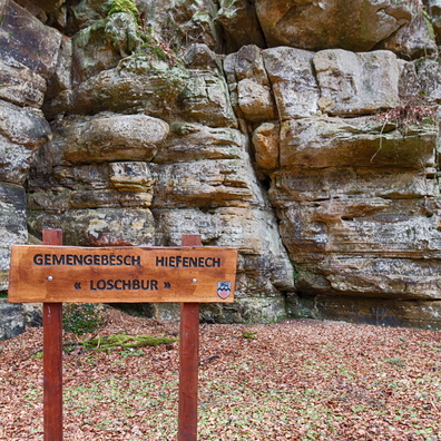
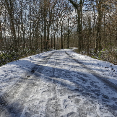
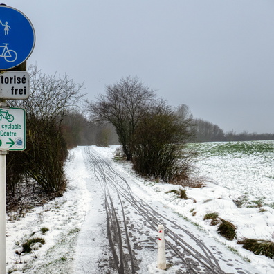
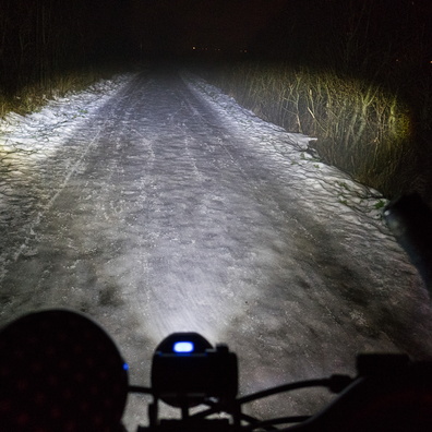
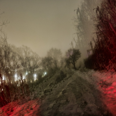
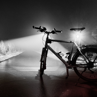
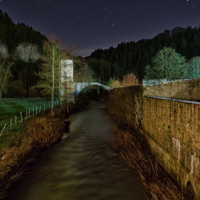
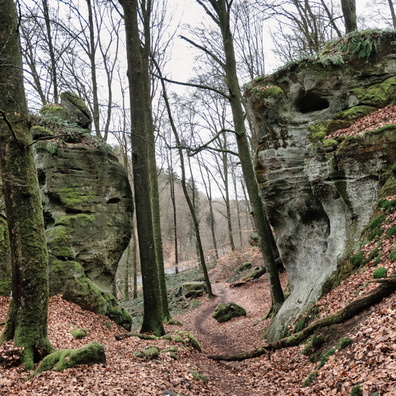
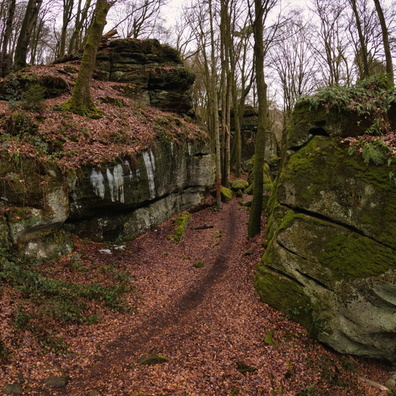
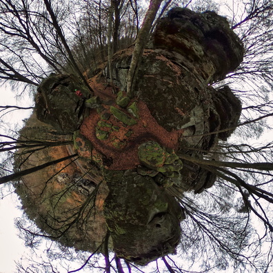
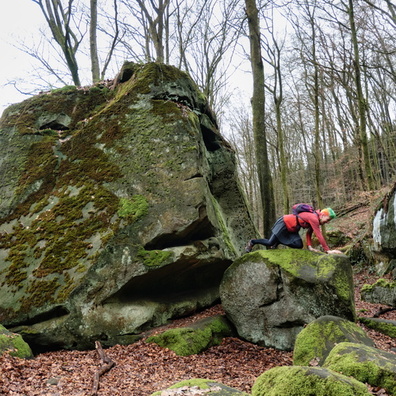
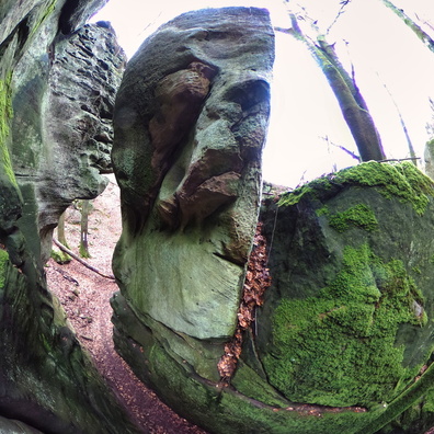
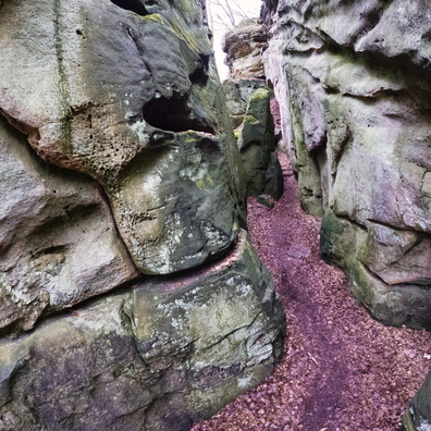
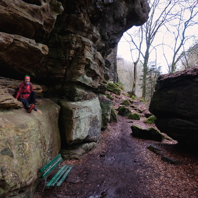
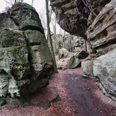
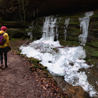
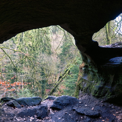
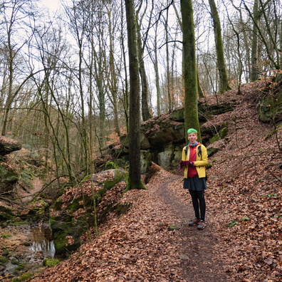
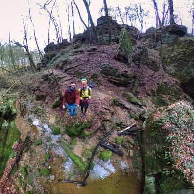
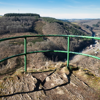
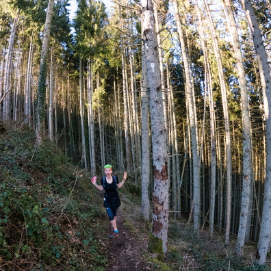
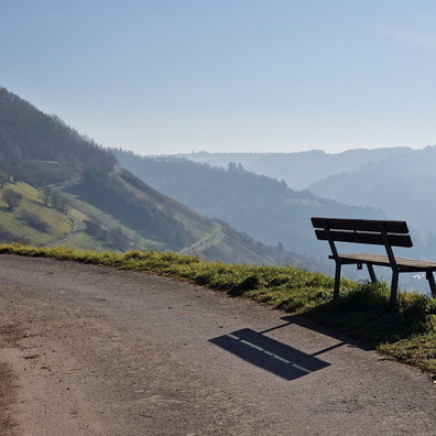
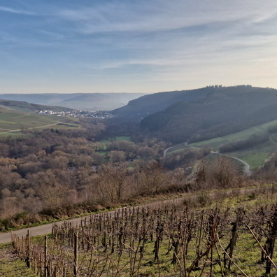
- iptc_title
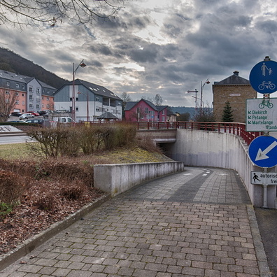
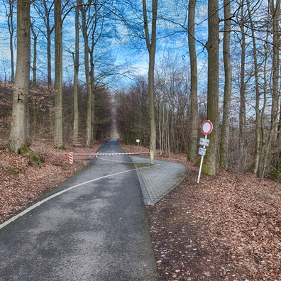
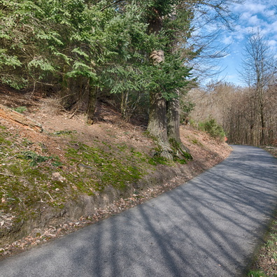
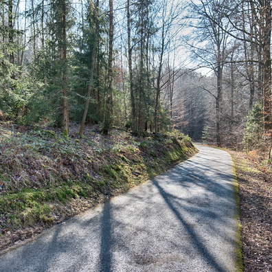
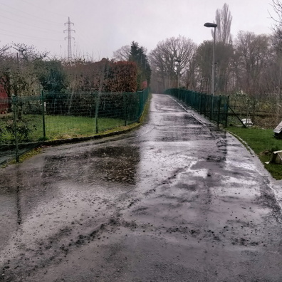
- Pathways and Possibilities in Rumelange
Powered by Piwigo