Home
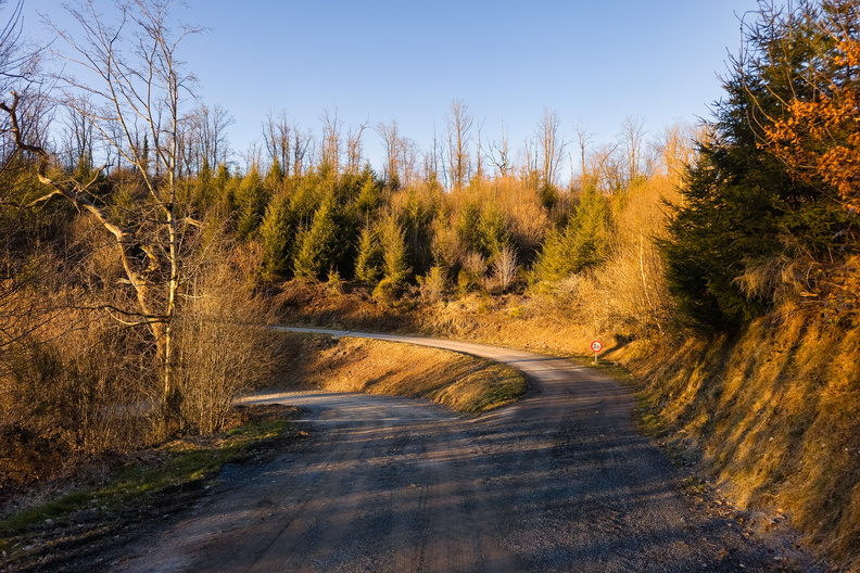
Donkelserwee: Where's the Donkey?
Photo sizes
S - small
(576 x 384)
M - medium
(792 x 528)
L - large
(1008 x 672)
XL - extra large
(1656 x 1104)
XXL - huge
(2048 x 1365)
slideshow
Download Photo
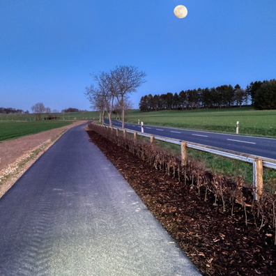
A winding road cuts through a forested hillside near Berlé, Luxembourg.
Information
Palette
Search
Location
Plugin by
xbgmsharp
Leaflet
©
OpenStreetMap
contributors, (
ODbL
)
View on OpenStreetMap
Rating score
no rate
Rate this photo
Created on
Tuesday 18 March 2025
Posted on
Friday 11 April 2025
Visits
922
Albums
Outdoor adventures
/
2025
/
March 2025
Tags
bare trees
bend
clear sky
conifers
country:Lëtzebuerg
country_code:lu
countryside
county:Canton Wiltz
curve
deciduous trees
dirt road
evening
evergreens
forest
fork
golden hour
gravel road
greenery
hill
hillside
ISO3166-2-lvl6:LU-WI
junction
lane
nature
path
postcode:9636
road:Donkelserwee
roadway
rural
scenery
shrubs
slope
sunny
sunset
traffic sign
trees
turn
unpaved road
vegetation
village:Berlé
way
winding road
woodland
EXIF Metadata
samsung Galaxy S24 Ultra
Show EXIF data
Make
samsung
Model
Galaxy S24 Ultra
DateTimeOriginal
2025:03:18 18:12:02
ApertureFNumber
f/1.7
iptc_title
Donkelserwee: Where's the Donkey?
Powered by
Piwigo