
 Download Photo


Information
- Rating score
- no rate
- Rate this photo
- Created on
- Tuesday 25 March 2025
- Posted on
- Thursday 17 April 2025
- Visits
- 87
- Albums
- Outdoor adventures / 2025 / March 2025
EXIF Metadata
samsung Galaxy S24 Ultra
- Make
- samsung
- Model
- Galaxy S24 Ultra
- DateTimeOriginal
- 2025:03:25 17:07:29
- ApertureFNumber
- f/3.4
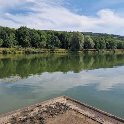
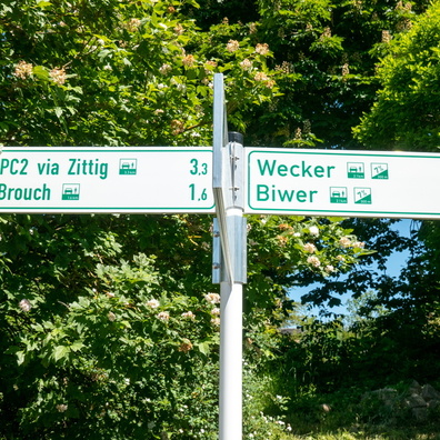
- iptc_title
- Which Way to the Pain?
Powered by Piwigo