90/107
Home / Hiking and walking / Luxembourg National Footpaths / Sentier de l'Attert /
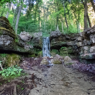
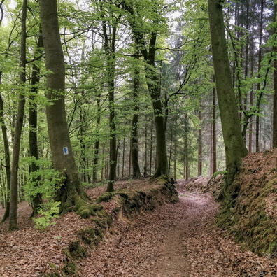
Track and picnic place between Hollenfens and Marienthal

 Download Photo
)
)
)
)
)
- Palette
- Created on
- Friday 29 May 2020
- Posted on
- Friday 5 June 2020
- Tags
- city:Helperknapp, country:Luxembourg, country_code:lu, county:Canton Mersch, forest, hamlet:Marienthal, hiking:Sentier de l'Attert, postcode:7435, road:CR 113
- Albums
- Visits
- 1956
- Location
- View on OpenStreetMap
- Rating score
- no rate
- Rate this photo
- Make
- OnePlus
- Model
- ONEPLUS A5010
- DateTimeOriginal
- 2020:05:29 19:49:30
- ApertureFNumber
- f/1.7
- iptc_keywords
- city:Helperknapp, country:Luxembourg, country_code:lu, county:Canton Mersch, forest, hamlet:Marienthal, hiking:Sentier de l'Attert, postcode:7435, road:CR 113
0 comments