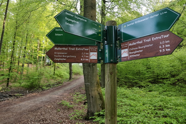
-
Railway track
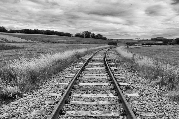
-
Bicycles queuing in Mamerdal
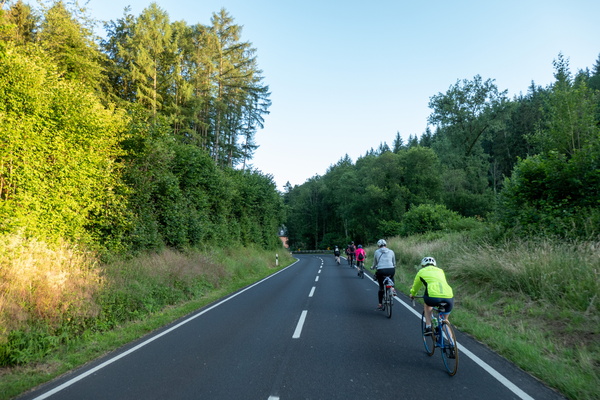
-
Sculpture
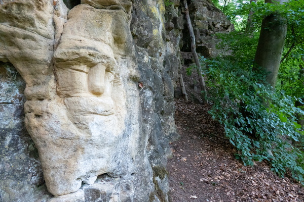
-
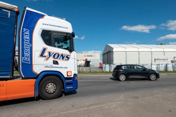
Cycling infrastructure in Koerich
-
Cycling infrastructure in Koerich
-
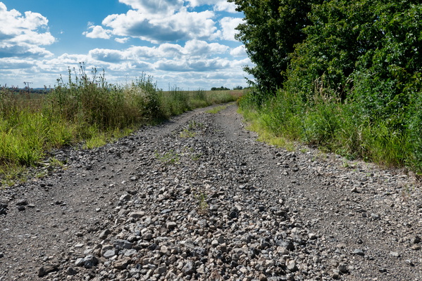
Cycling infrastructure in Koerich
-
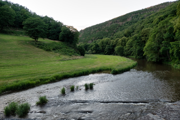
Sauertal
-
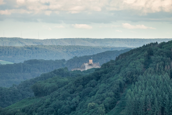
Bourscheid castle
-
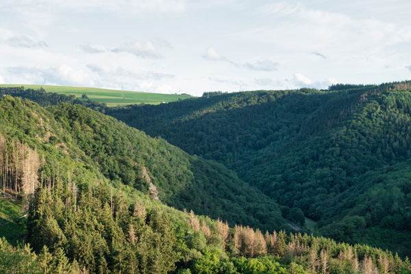
Above the Wiltz valley
-
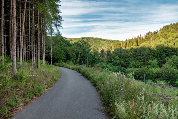
Piste cyclable de la Wiltz
-
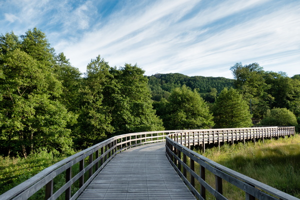
Piste cyclable de la Wiltz
-
Piste cyclable de la Wiltz
-
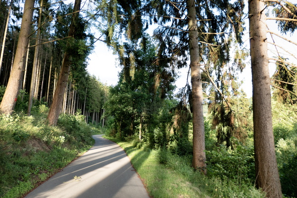
The dangerous piste cyclable de la Wiltz
-
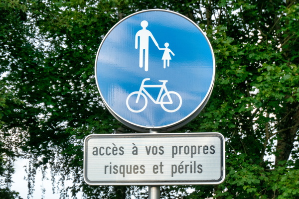
Piste cyclable de la Wiltz
-
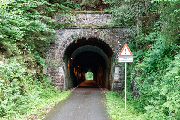
Gravel way between Martelange and Bastogne
-
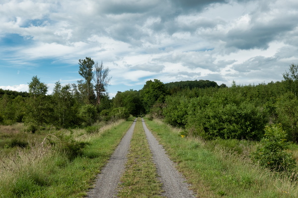
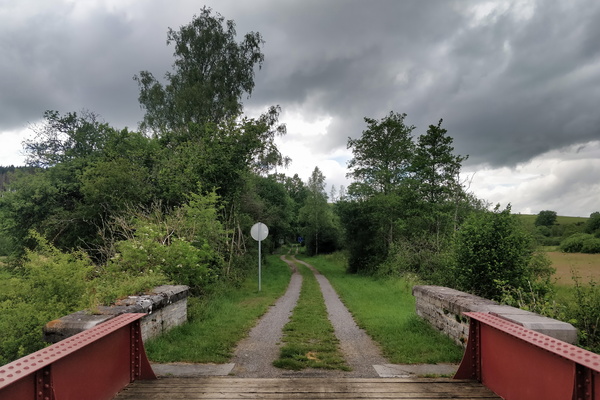
Gravel way between Martelange and Bastogne
-
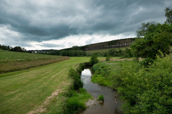
The Sauer river from EuroVelo 5
-
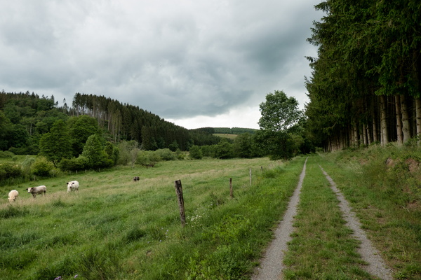
Gravel way between Martelange and Bastogne
-
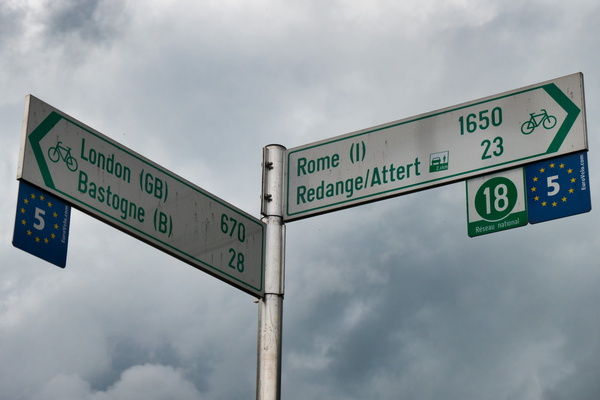
All roads lead to Rome
-
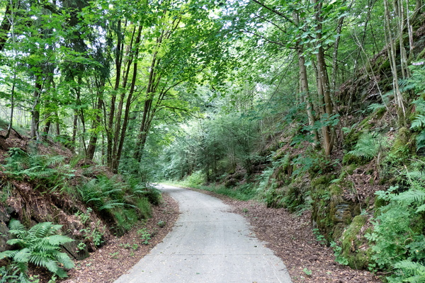
Piste cyclable des Ardoisières near Martelange
-
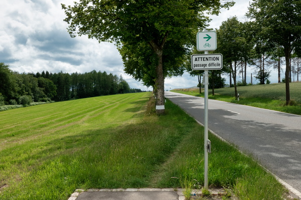
Passage difficile
-
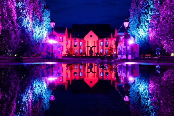
Hesper Park at night
-
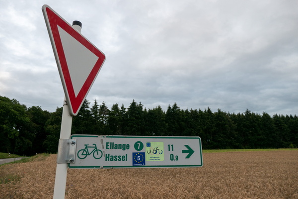
New features on the EuroVelo 5 cycling route
-
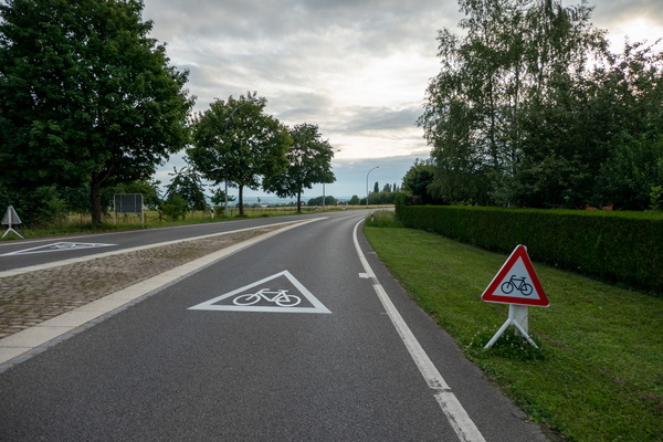
New features on the EuroVelo 5 cycling route
-
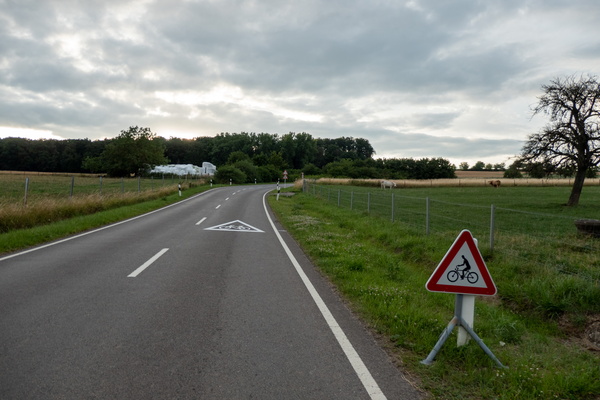
New features on the EuroVelo 5 cycling route
-
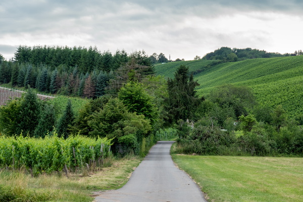
Cycling in the vineyards on PC 7 near Remich
-
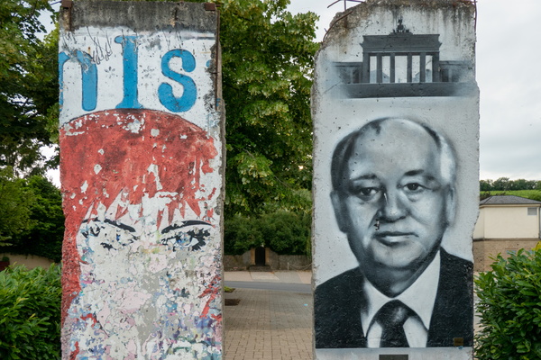
Berlin Wall in Schengen
-
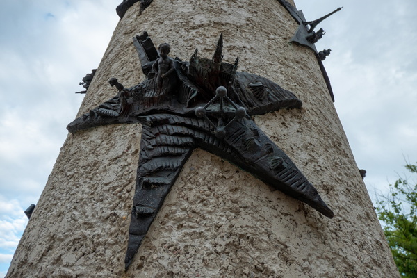
Brussels in Schengen, and Paris in the background
-
The clouds
-
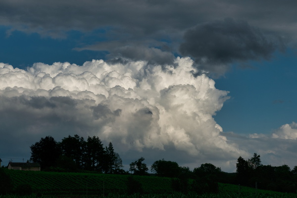
Threatening sky
-
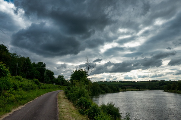
Mosel-Radweg near Rohlingen
-
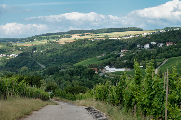
Diving into the Moselle Valley
-
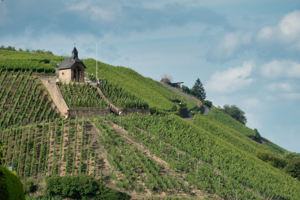
Vineyards near Wormeldange
-
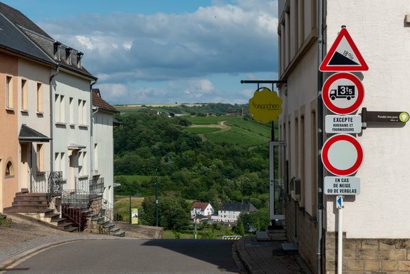
Slope down to the Moselle valley
-
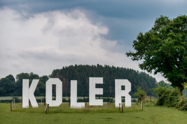
Koler
-
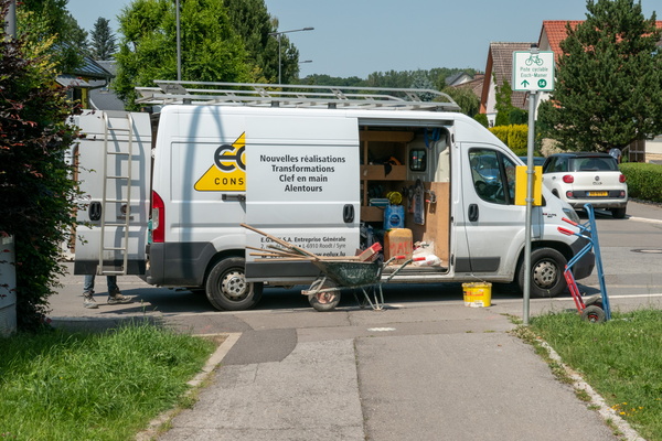
No comment
-
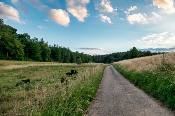
Asphalt track near Junglinster
-
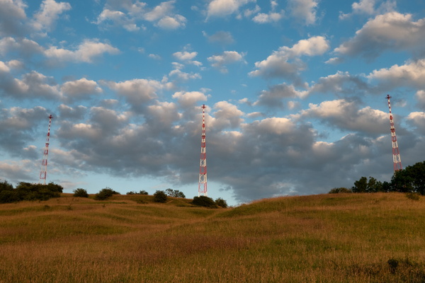
Three Eiffel towers?
-
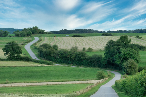
Asphalt trac near Heffingen
-
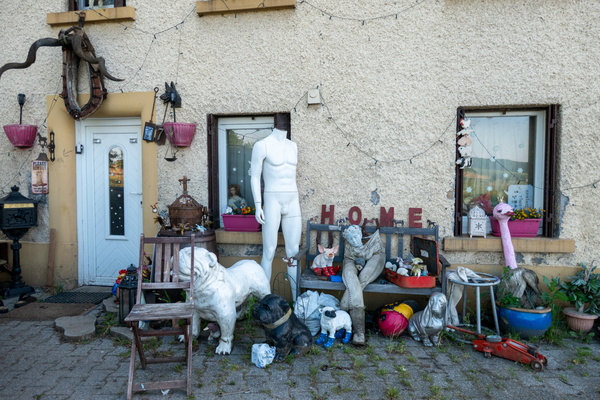
Strange home
-
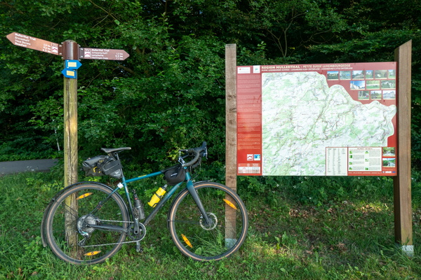
Mullerthal Trail
-
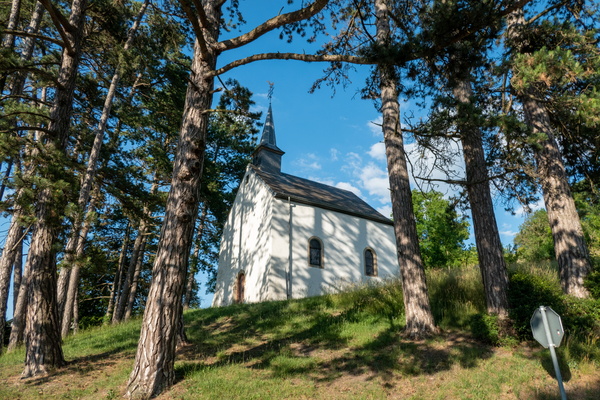
Niederglabach's chapel
-
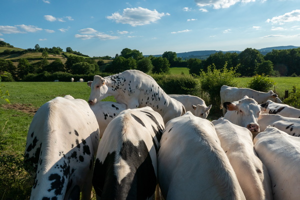
Porn scene
-
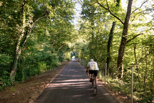
Retired person on his daily ride
-
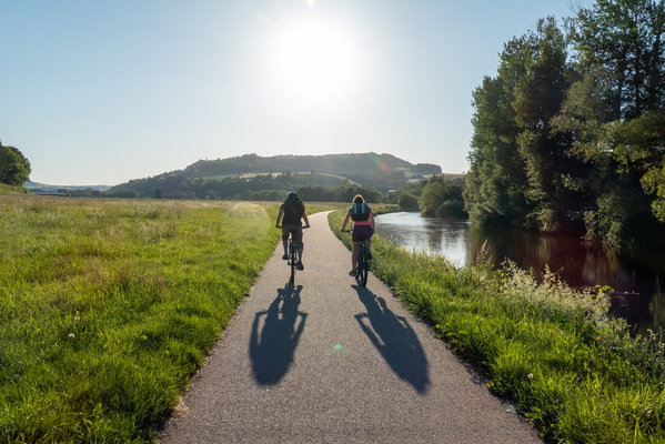
Couple of cyclists near Diekirch
-
I scream for an ice cream
-
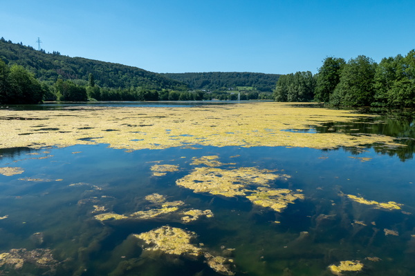
Echternach lake
-
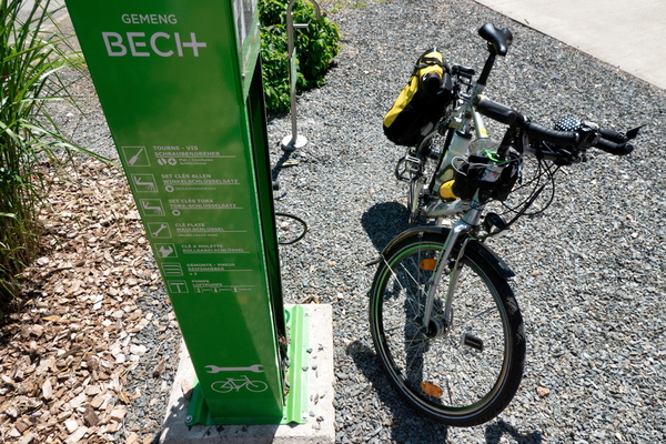
Bike station at Becher Gare
-
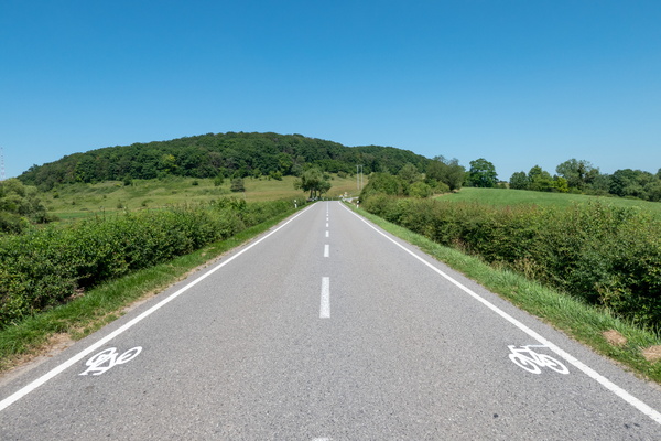
New cycling infrastructure near Junglinster
-
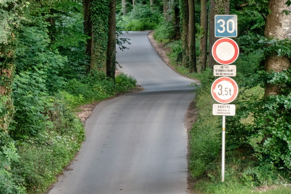
Totem
-
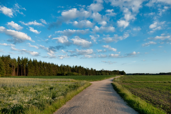
Gravel track North of Bridel
-
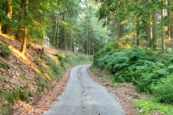
Gousselerbierg climb
-
Capitalism in the office

-
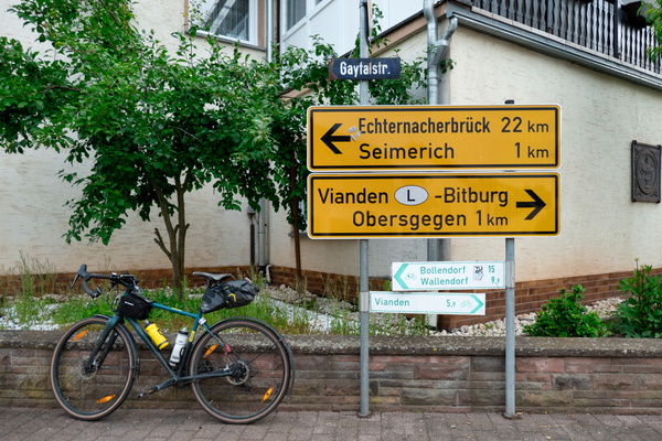
Unexpected cycling route
-
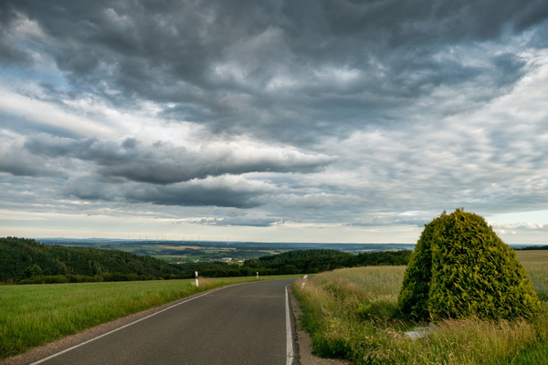
The Eifel near Kandlerhof
-
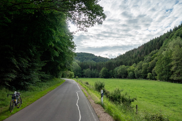
The Irsen valley
-
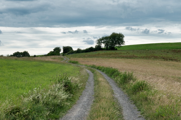
Climbing up in the Eifel
-
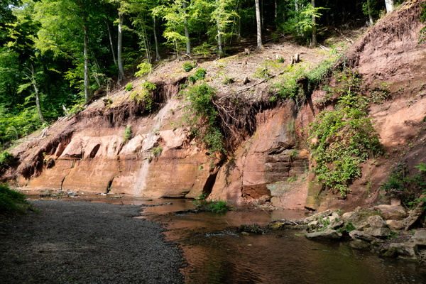
Roter Puhl
-
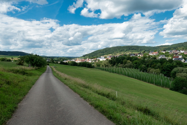
Prümtal Radweg
-
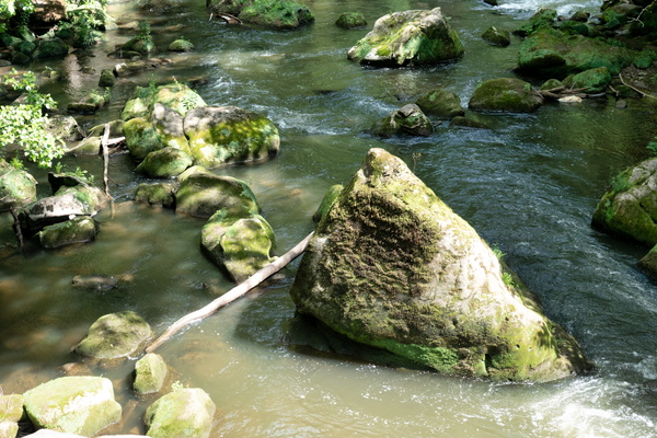
Irrel waterfall
-
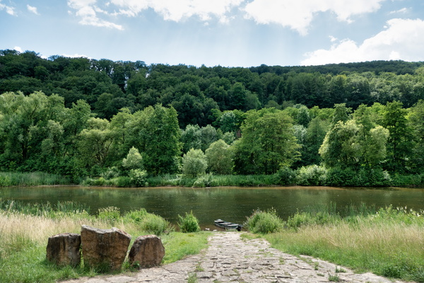
Sauer river
-
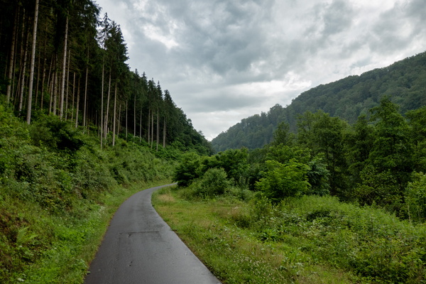
Kylltag-Radweg near Auw an der Kyll
-
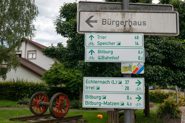
Cycling directions in Erdorf
-
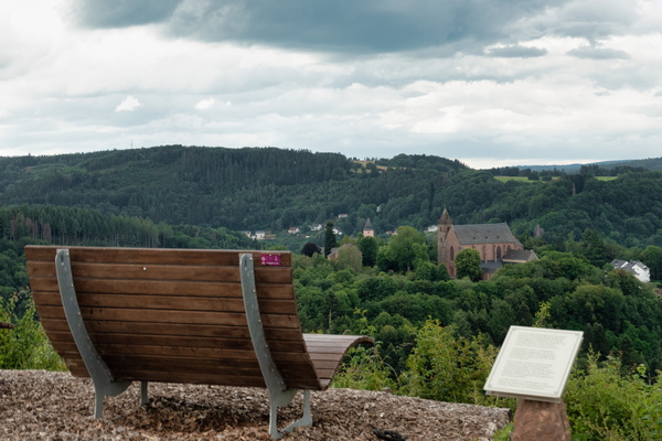
View on Kyllburg
-
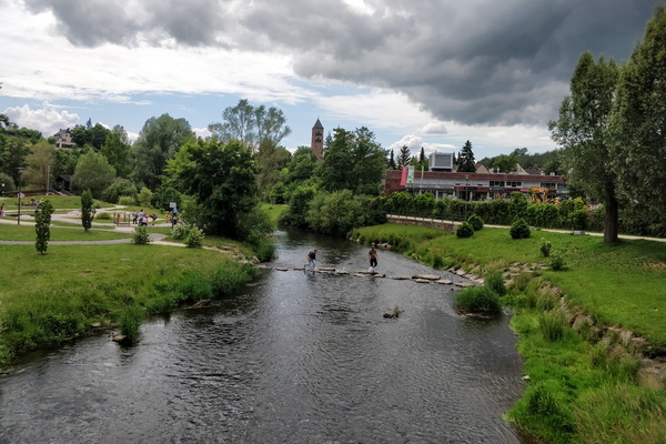
The Kyll river in Gerolstein
-
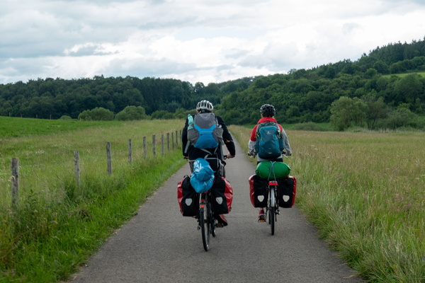
Cycling holidays
-
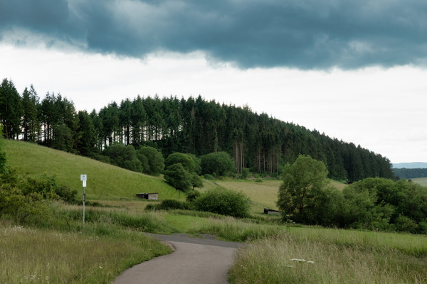
Eifel-Ardennen Radweg near Waldkönigen
-
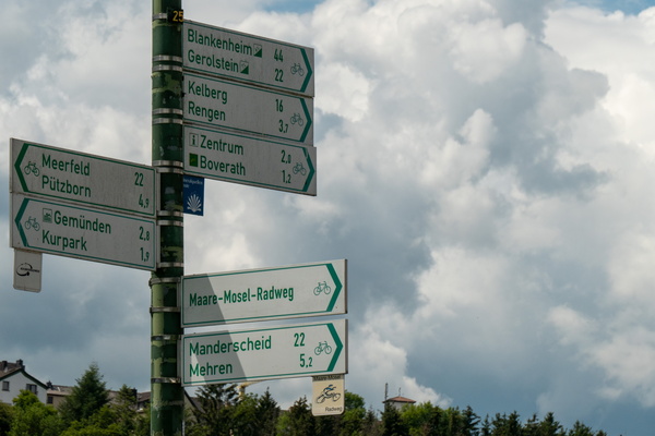
Cycling directions near Daun
-
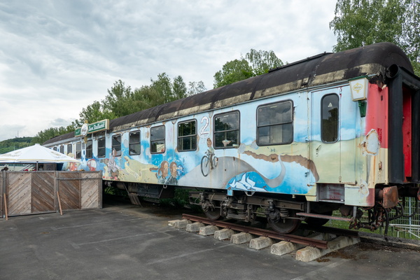
Train café in Daun
-
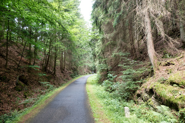
Maare-Mosel-Radweg near Daun
-
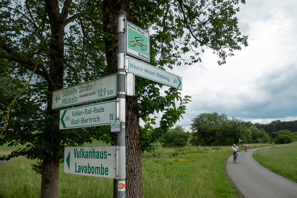
Cycling directions near Gillenfeld
-
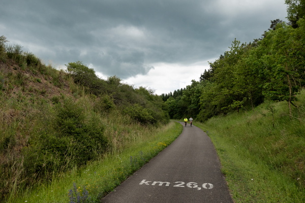
Kilometre 26 of the Maare-Mosel-Radweg
-
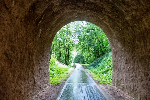
Cycling tunnel near Wittlich
-
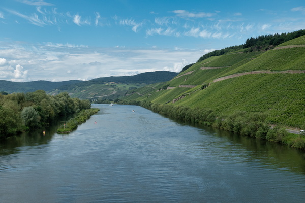
The Moselle near Bernkastel-Kues
-
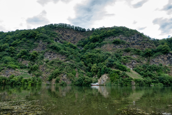
The Moselle near Bernkastel-Kues
-
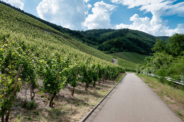
Moselle vineyards
-
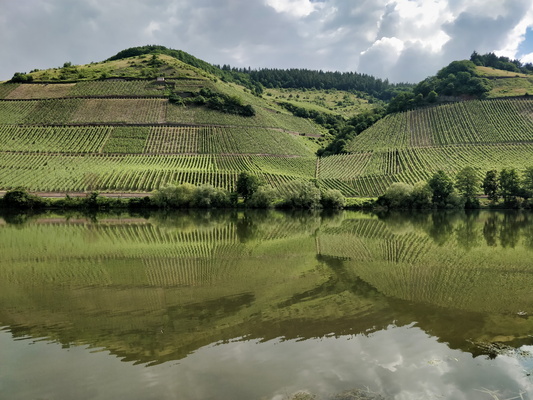
The Moselle river near Kirsch
-
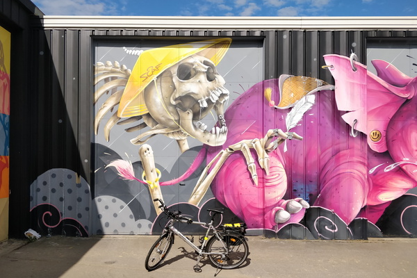
Mural in Leudelange
-
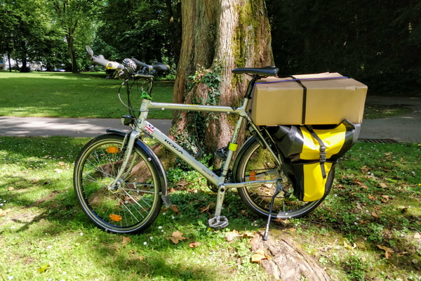
Quaxing
-
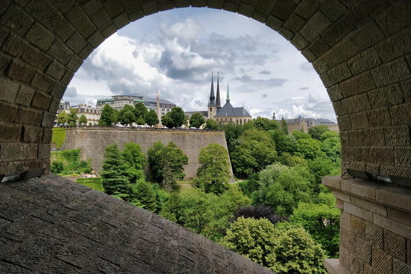
Under Pont Adolphe
-
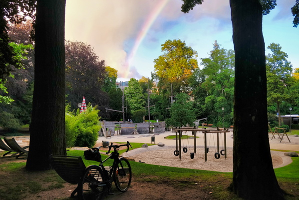
Rainbow in the park
-
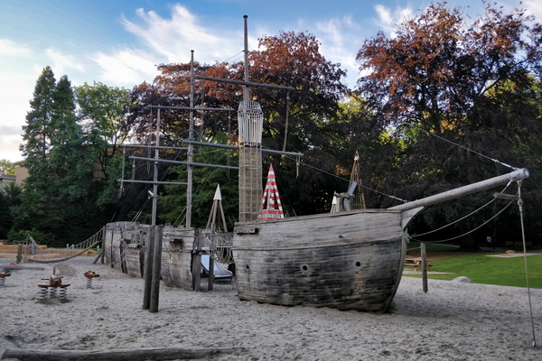
The pirate ship playground
-
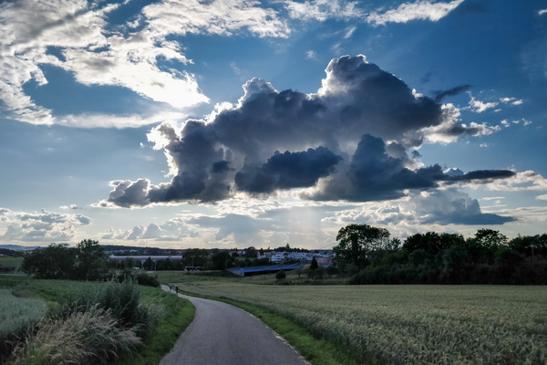
Some clouds near Bertrange
-
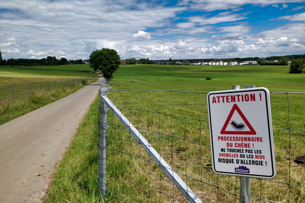
Warning sign
-
Office outfit of the day

-
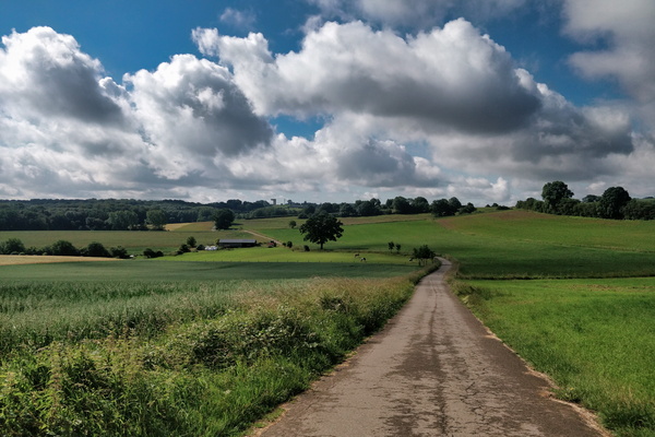
Hide and seek game between sun and clouds
-
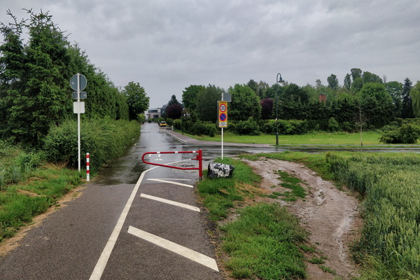
Barrier bypass
-
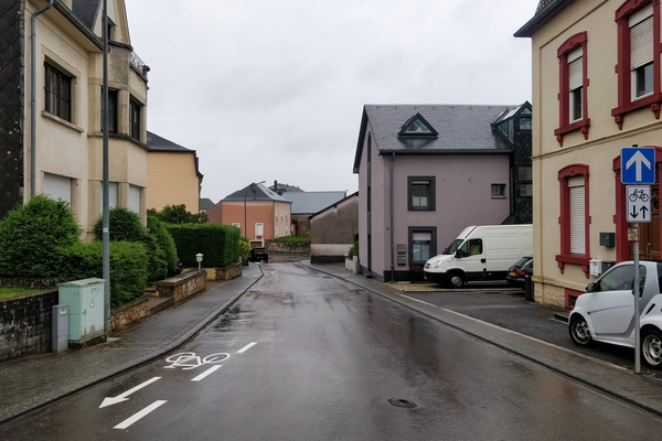
Rue de la Gare, Mamer
-
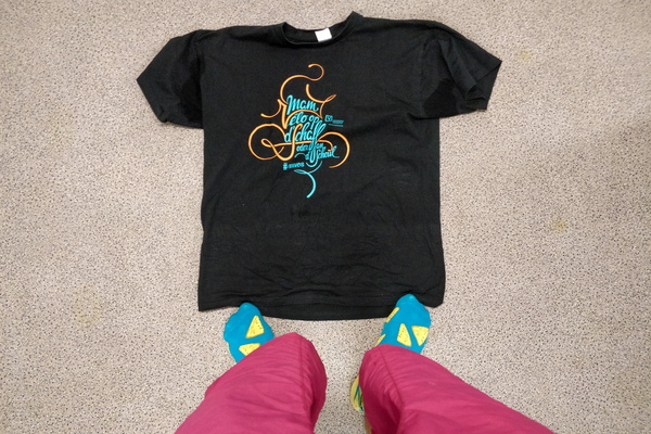
Office outfit of the day
-
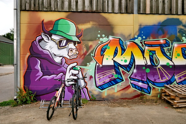
Mural at Bouferterhaff
-
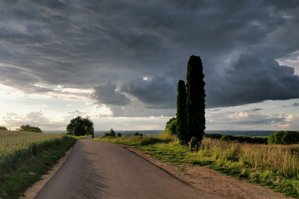
Clouds at the outlook
-
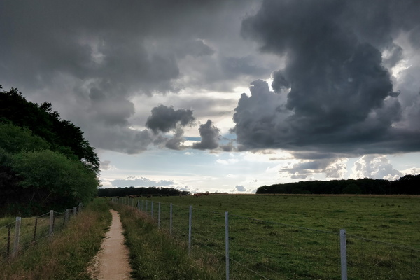
Falling sky?
-
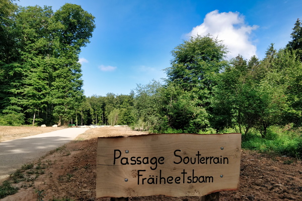
Fräheetsbam underpass sign
-
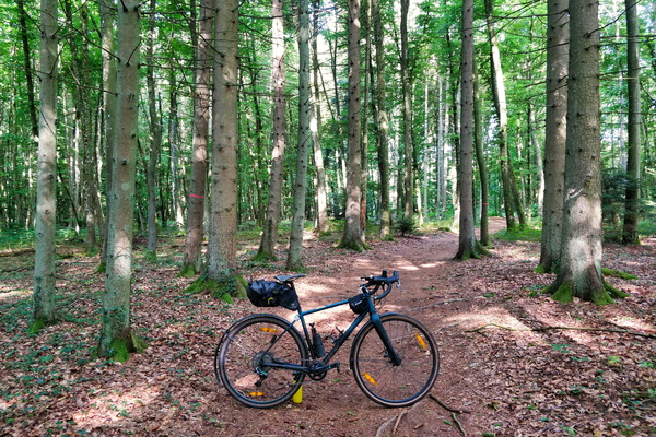
Morning commute in Bambësch
-
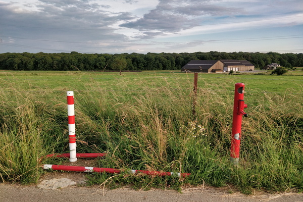
Swing gate won't swing anymore
-
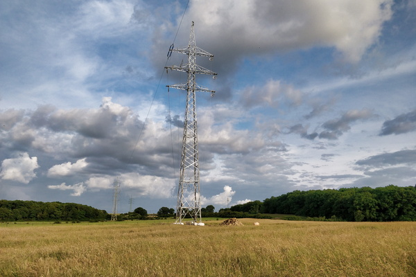
Pylon replaced following last year's tornado
-
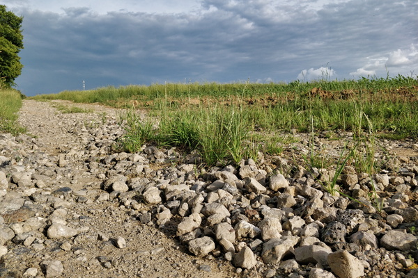
Cycling infrastructure in Koerich
-
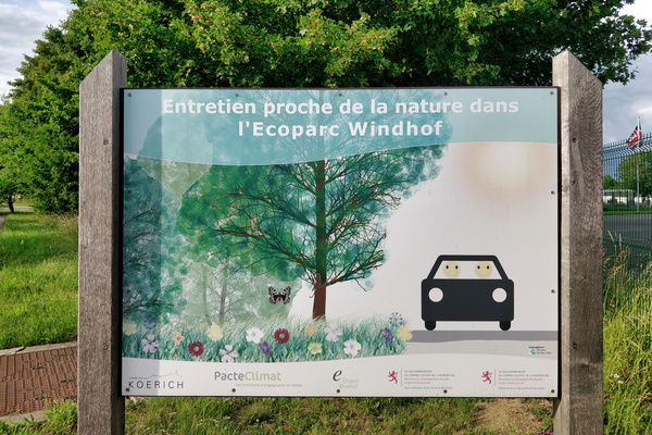
Ecoparc = happy in a car?
-
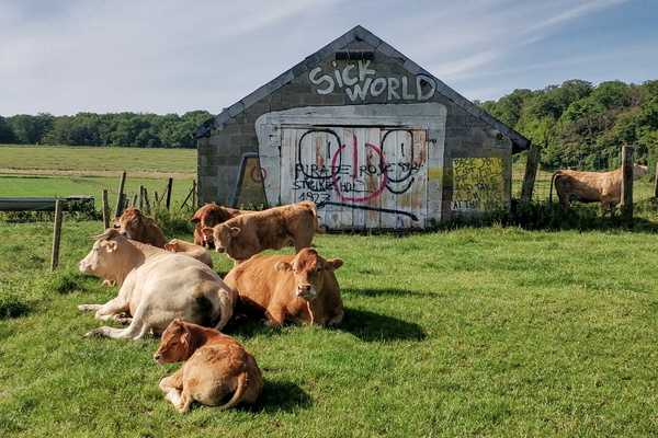
They don't care about our sick world
-
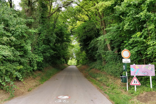
Opgepasst Vëlo
-
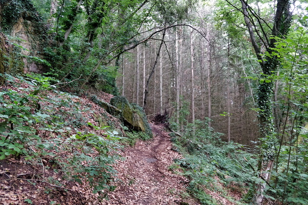
MTB trail Dalheim
-
MTB trail Dalheim
-
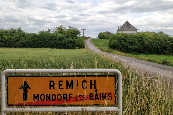
Getting out of Mondorf-les-Bains
-
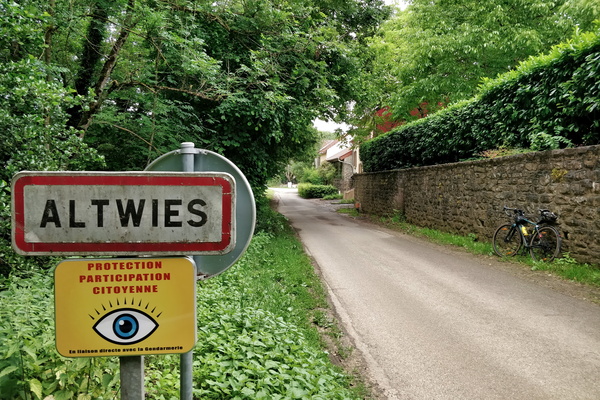
Altwies, in France...
-
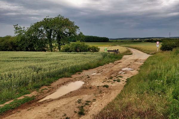
France/Luxembourg border
-
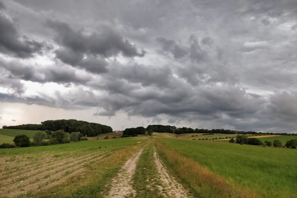
A few minutes before the thunderstorm
-
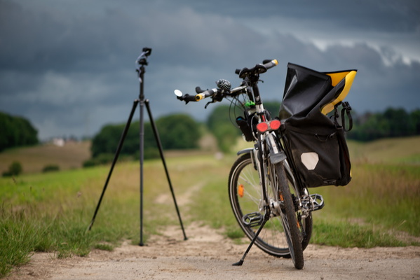
Time lapse shooting of the coming thunderstorm
-
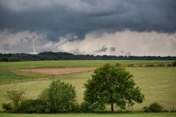
Thunderstorm!
-
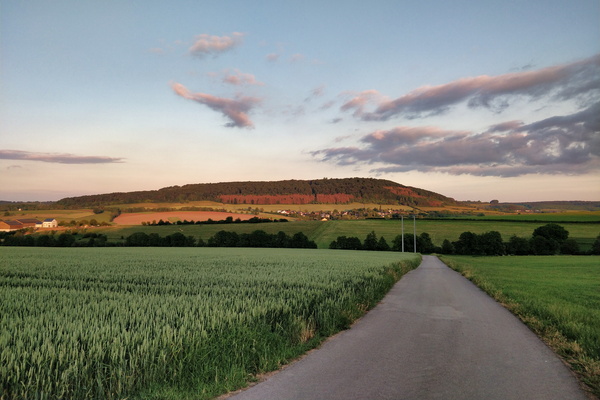
Golden hour near Betzdorf
-
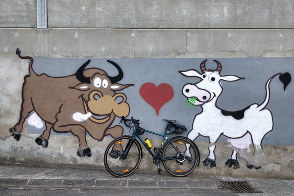
Mural in a farm in Flaxweiler
-
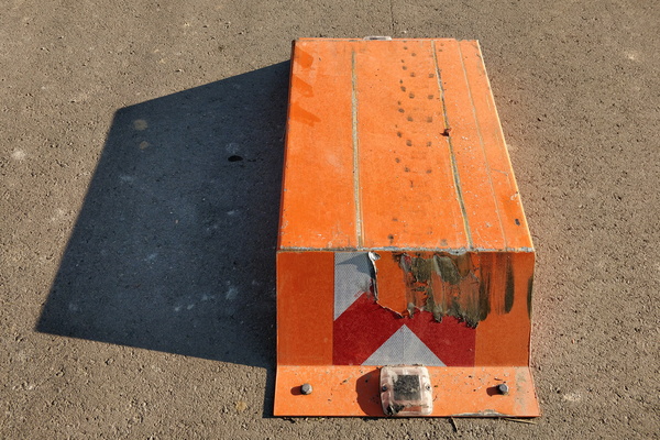
Car barrier near Moutfort
-
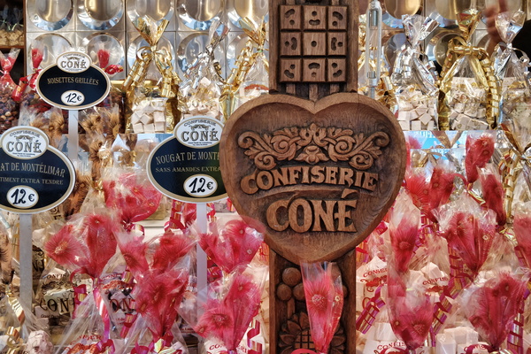
Sweet delights in Bertrange
-
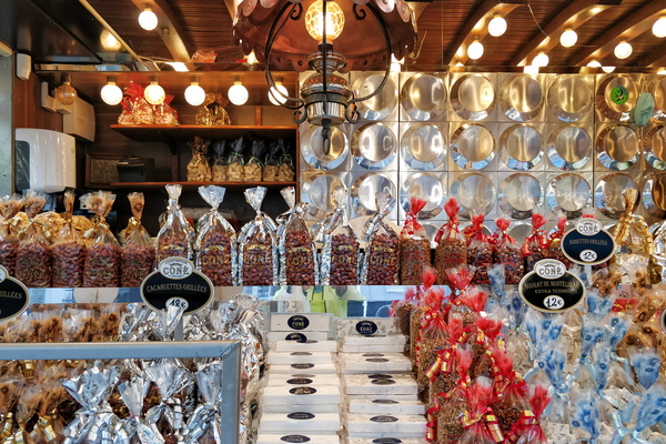
Sweet delights in Bertrange
-
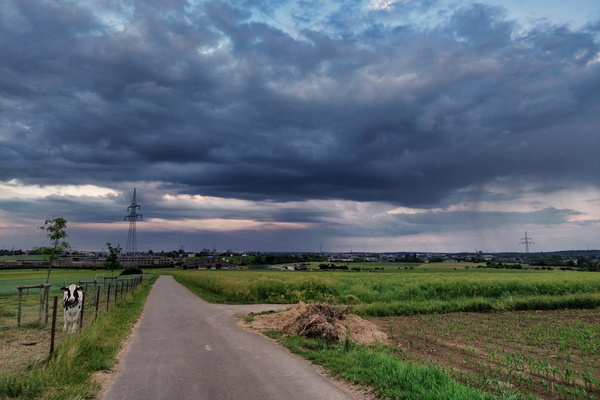
Showers in the area of Euro-School II
-
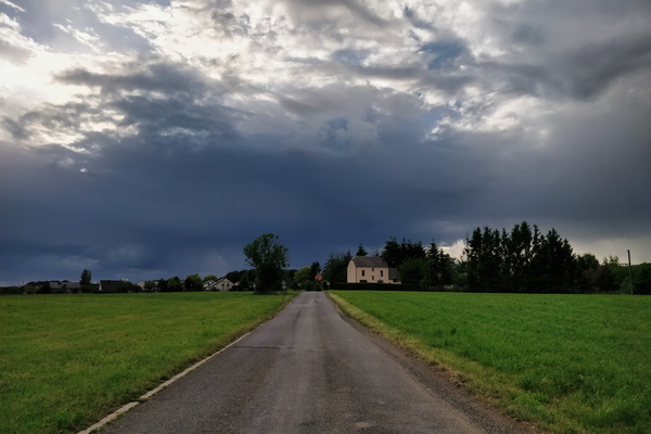
Wil the sky fall?
-
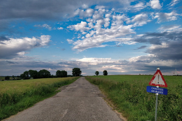
A road in Belgium
-
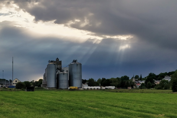
Moulin de Kleinbettingen
-
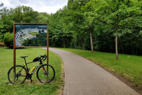
Colmar Berg park
-
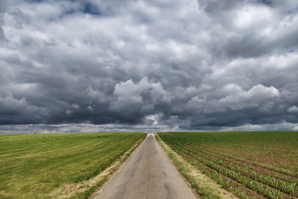
Threatening sky
-
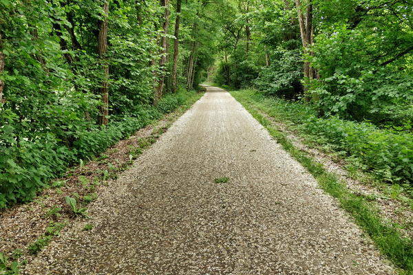
Snow? Petals!
-
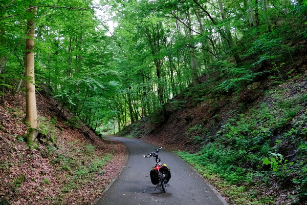
Piste cyclable d'Echternach
-
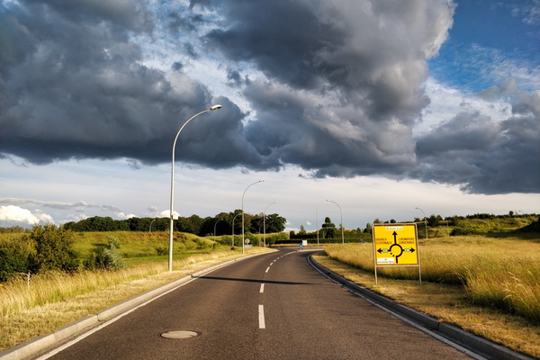
Crazy light in Junglinster
-
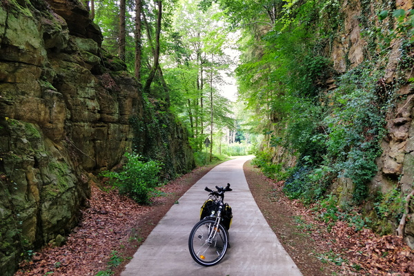
Back from bike shopping via PC 5
-
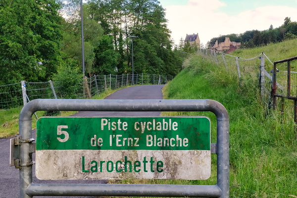
Arriving in Larochette
-
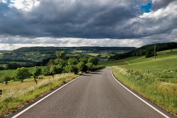
Just above Bettendorf
-
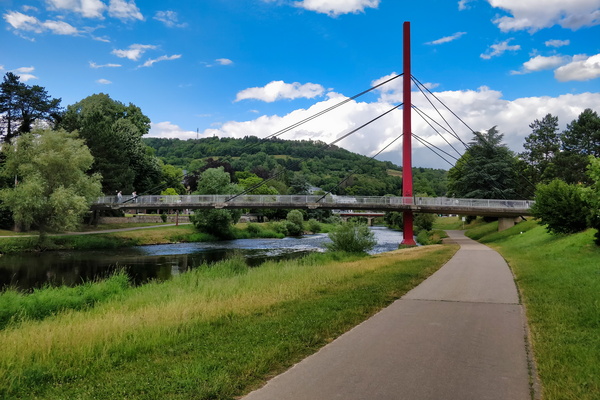
Bridge over PC 16 in Diekirch
-
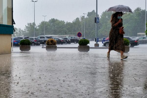
Seeking refuge
-
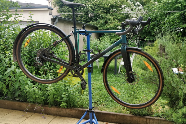
Bike cleaning and minor revision
-
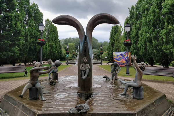
Fountain in Hesper Park
-
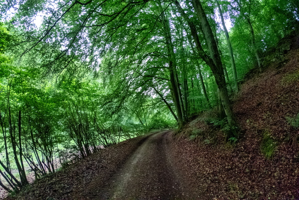
Syrdall VeloRoute near Syren
-
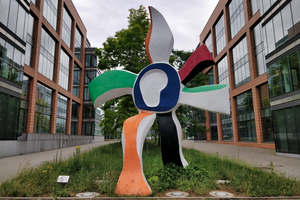
La Grande Fleur qui Marche
-
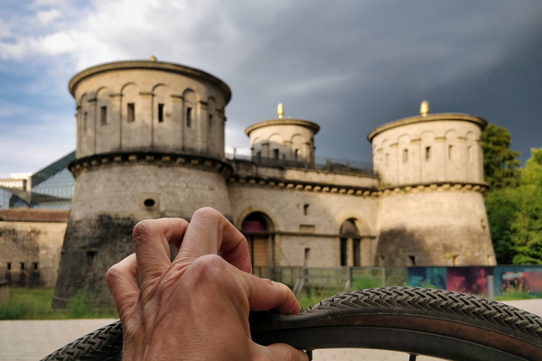
What a great place to fix a tyre puncture
-
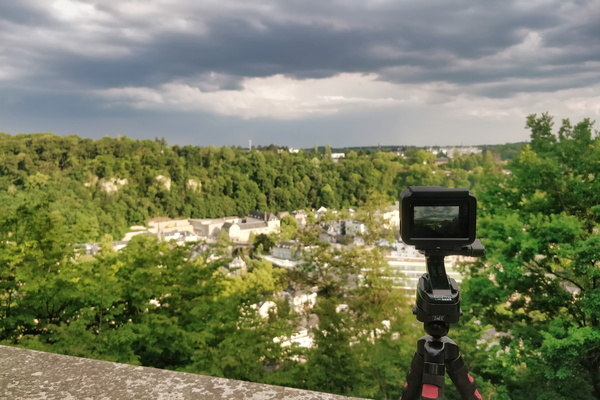
Making a time lapse movie of the coming thunderstorm
-
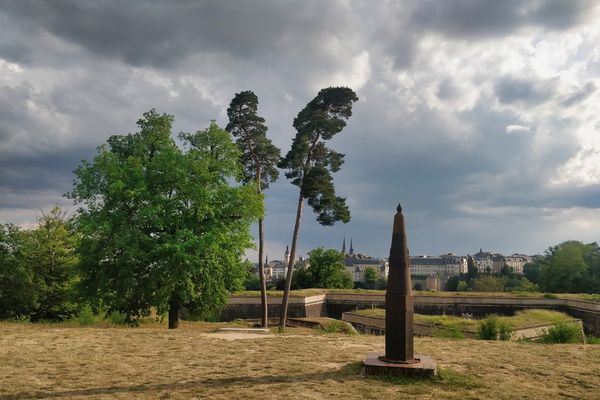
Waiting for the thunderstorm
-
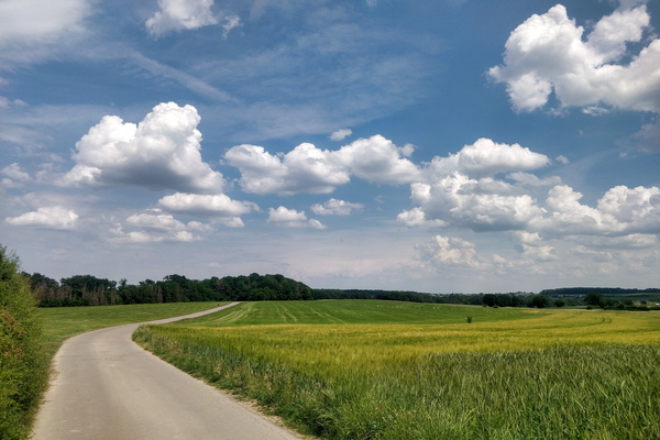
Several hours before the storm
-
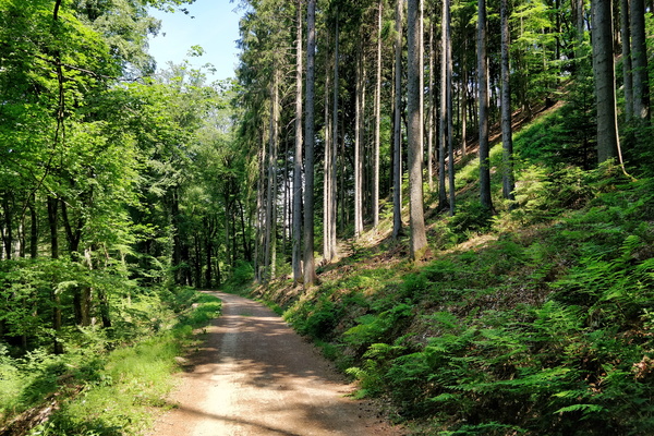
Mamerdal track
-
Mamerdal canyon

-
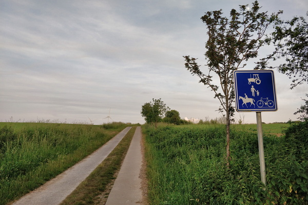
Paved track near Barnich, Arlon, Belgium
-
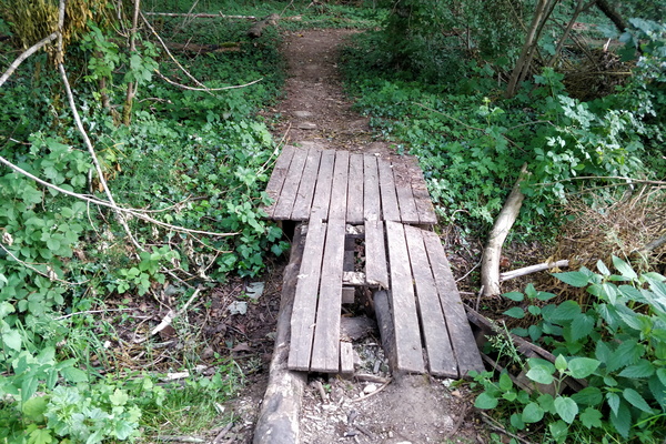
This is a bridge
-
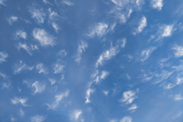
Interesting clouds
-
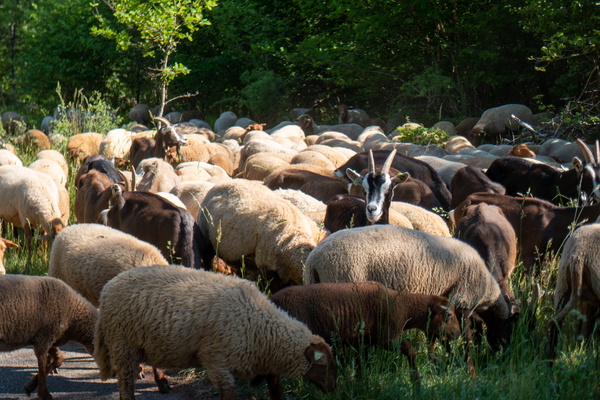
Goats and sheep
-
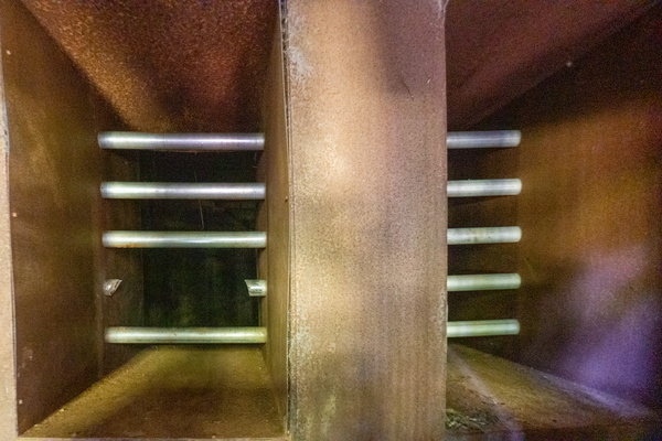
An intrusion into the mine
-
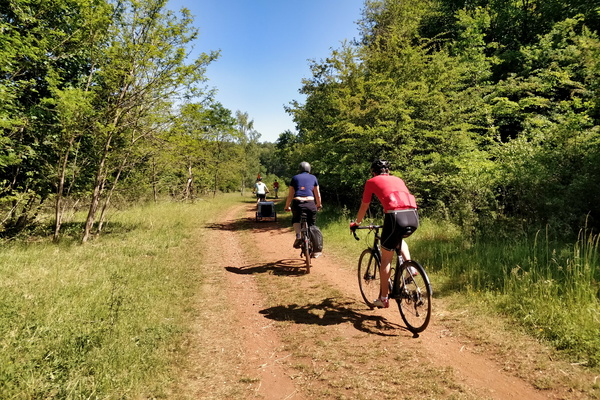
Cycling in Ellergronn
-
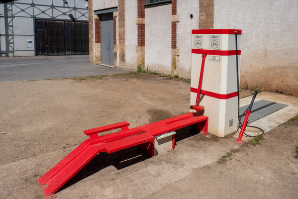
Bike wash station in Ellergronn
-
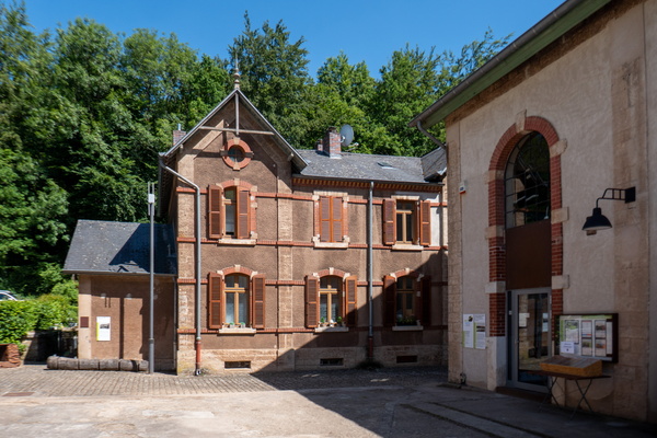
Ellergronn
-
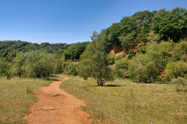
Land of the Red Rocks
-
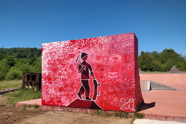
Painted skatepark in the Land of the Red Rocks
-
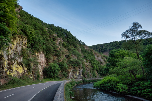
Sauertal near Erpeldange-sur-Sûre
-
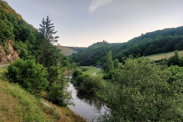
Sauertal near Bourscheid-Moulin
-
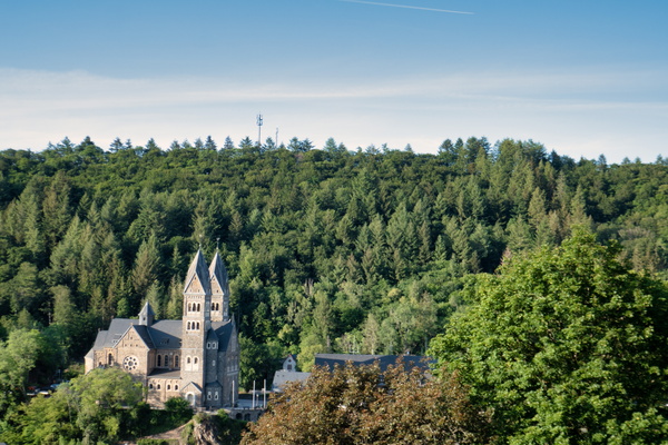
Clervaux church
-
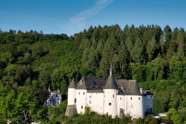
Clervaux castle
-
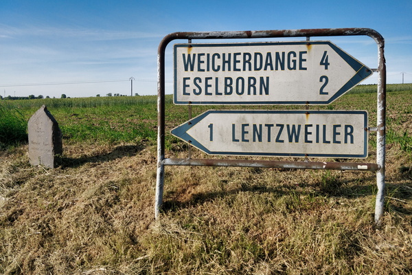
Good-old sign
-
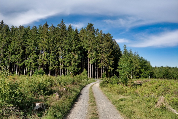
Track on the way between Bastogne and Clervaux
-
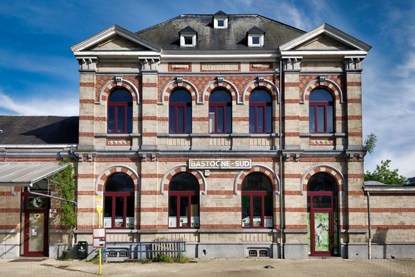
Bastogne-Sud station
-
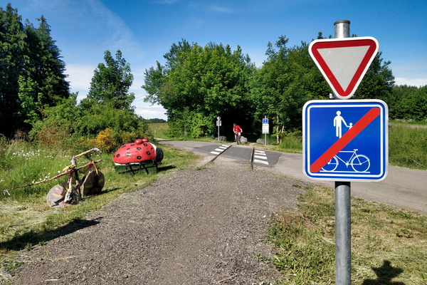
pré-RAVeL L163 cycleway between Libramont and Bastogne
-
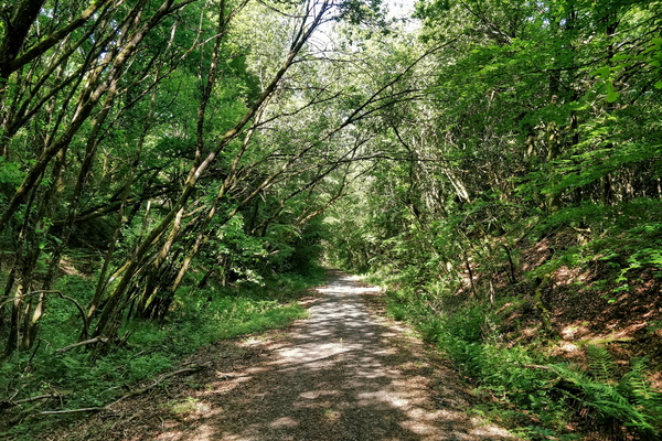
RAVeL rhymes with gravel
-
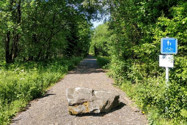
pré-RAVeL L163 cycleway between Libramont and Bastogne
-
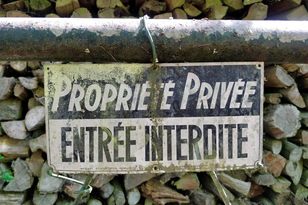
Access restricted to the Sauer river source
-
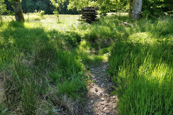
Source of the Sûre river
-
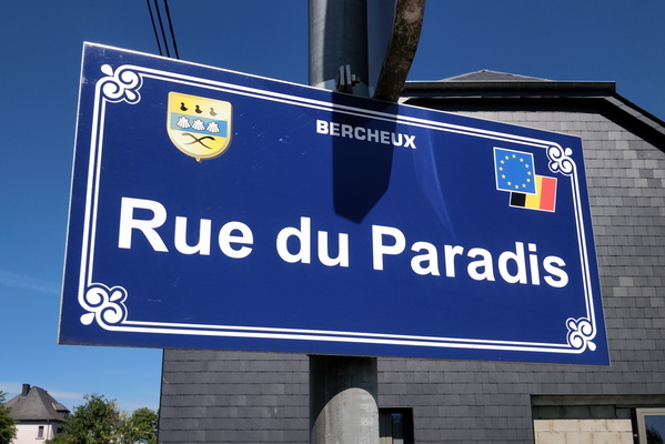
Rue du Paradis
-
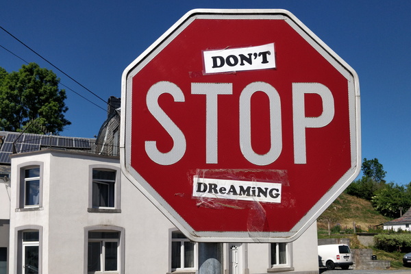
Don't stop dreaming
-
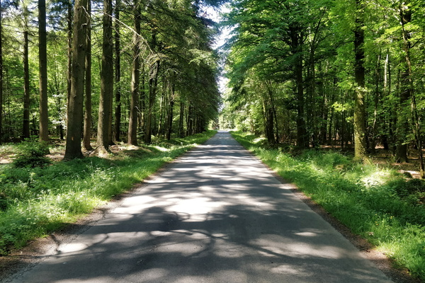
Quiet road between Habay and Neufchâteau
-
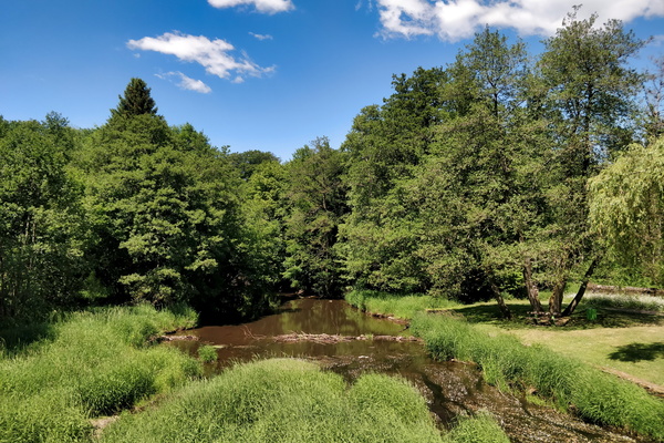
La Rulles river in Habay
-
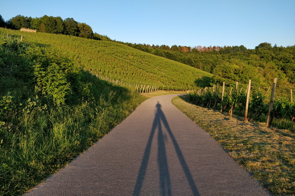
I'm looking like a tripod
-
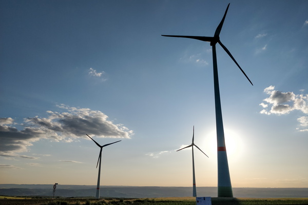
Windmills
-
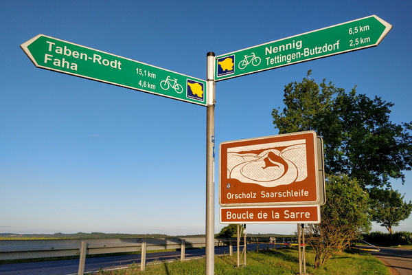
Cycling directions between the Saar and Moselle valleys
-
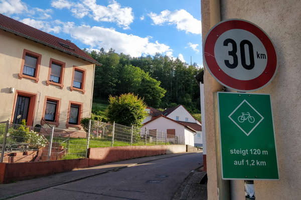
Climbing information sign
-
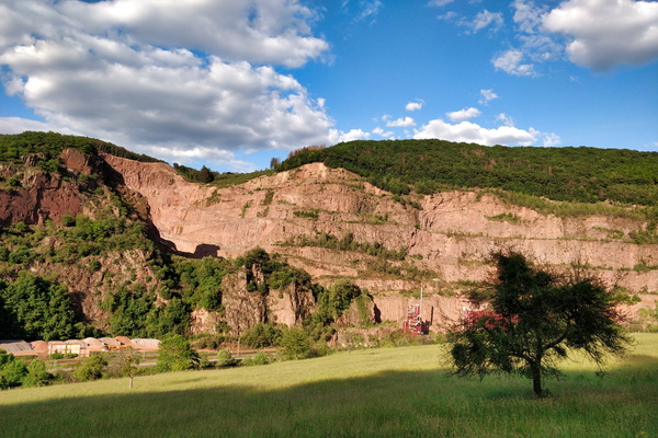
Quarry
-
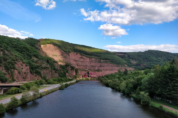
On a bridge over the Saar river
-
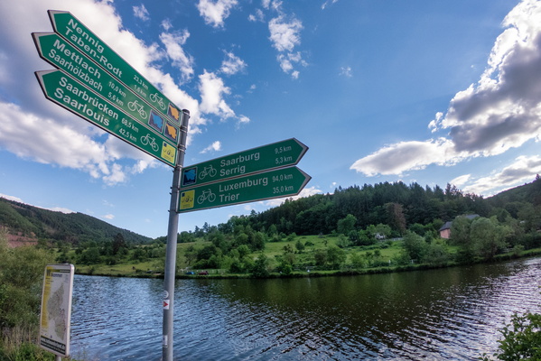
Cycling directions near Serrig
-
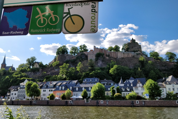
The town of Saarburg
-
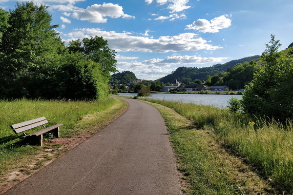
The Saar-Radweg
-
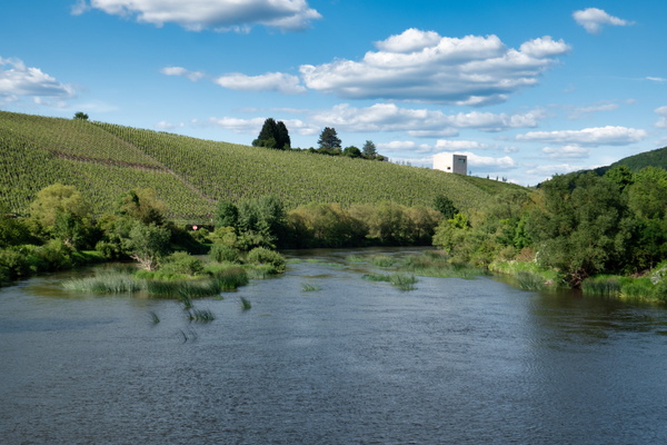
The Saar river near Ayl
-
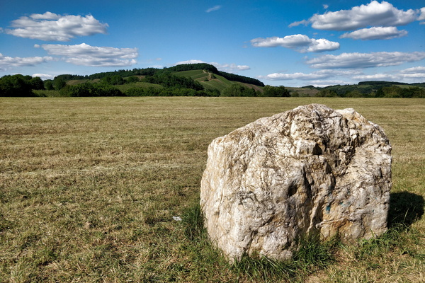
View from Saar-Radweg near Kanzem
-
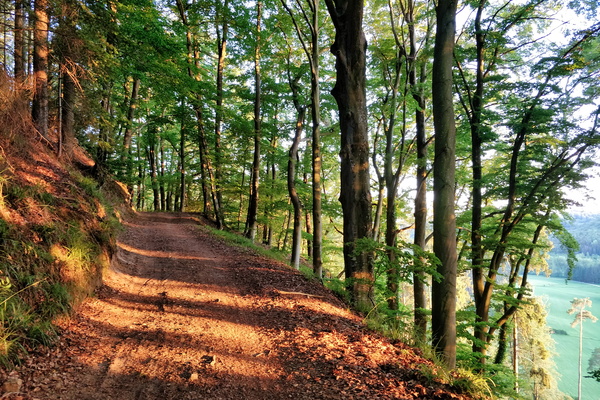
Climbing above Mamerdal
-
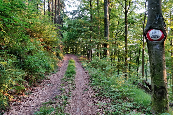
Private property
-
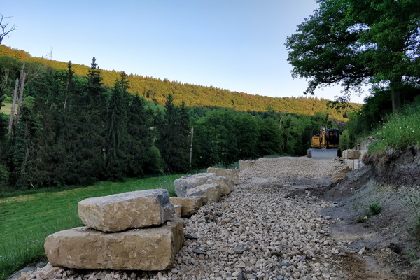
PC 14 extention construction works
-
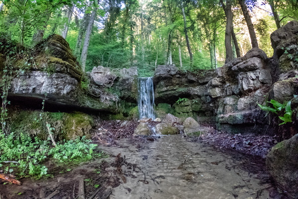
Hunnebur waterfall
-
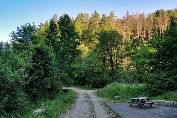
Track and picnic place between Hollenfens and Marienthal
-
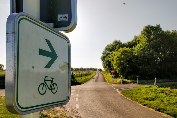
Please go cycle to this one-way road
-
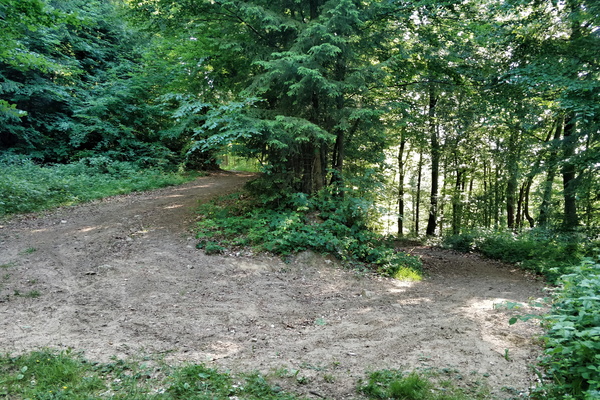
Track going to the Valley of the Seven Castles
-
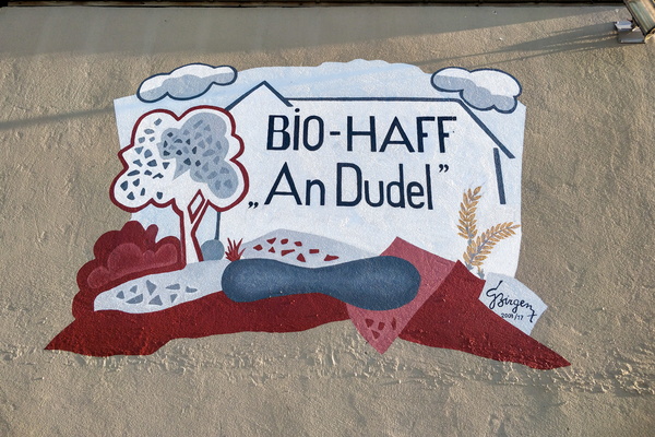
An Dudel organic farm mural
-
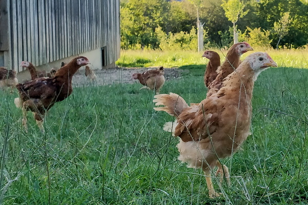
Henses
-
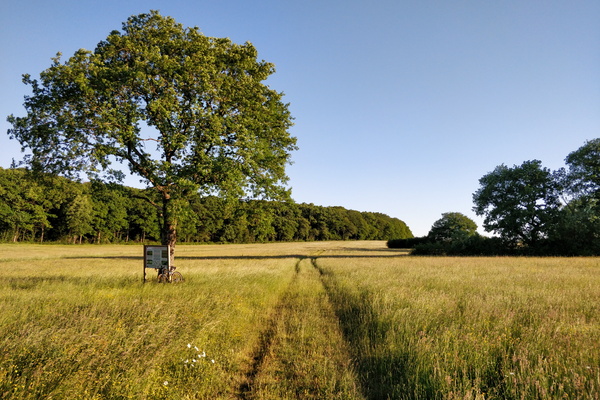
Nature reserve between Schouweiler and Bascharage
-
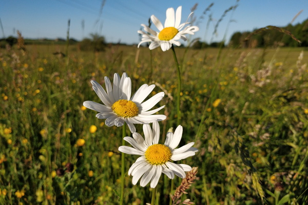
Flowers
-
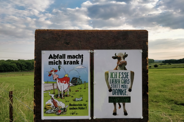
Anti-littering campain
-
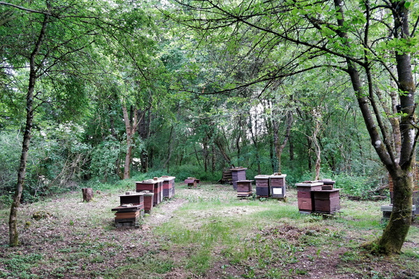
Beehives
-
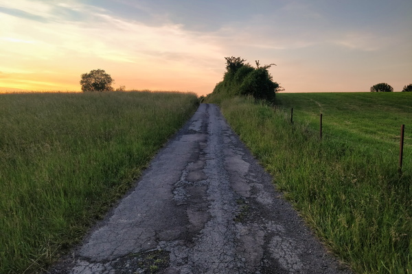
Track near Bettembourg
-
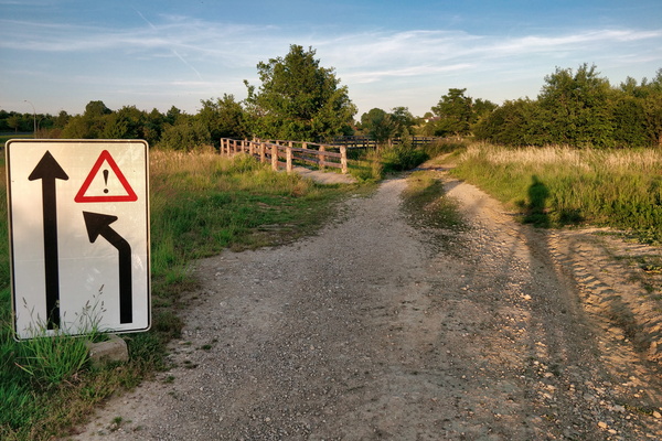
Trying to get the sense of this sign
-
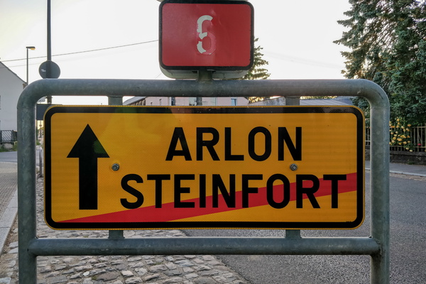
What can happen if I go forward?
-
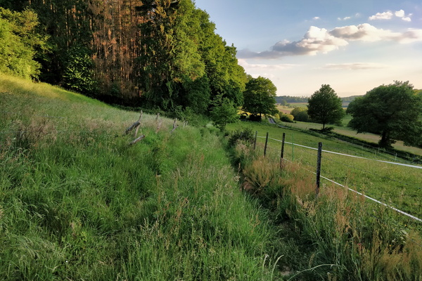
OpenStreetMap track survey
-
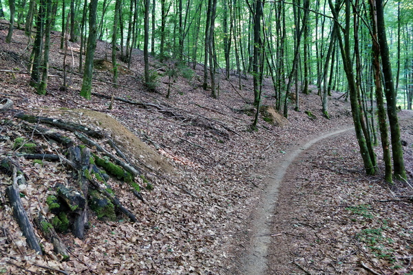
Forest path near Hobscheid
-
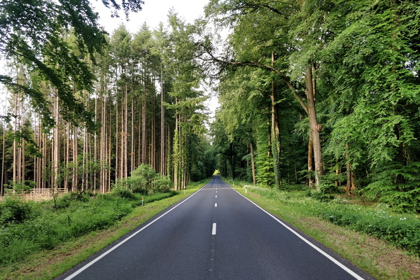
N 8 road near Hobscheid
-
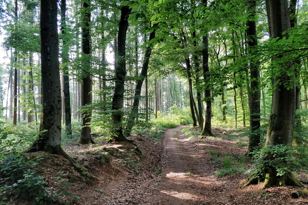
Forest track near Septfontaines
-
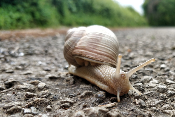
This snail is on a road that is unlikely to be visited
-
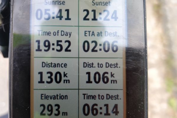
When Garmin didn't realise that I took a shortcut
-
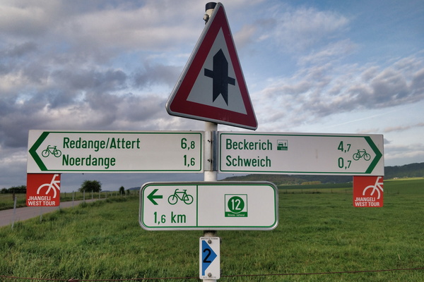
Cycling directions in Schweich
-
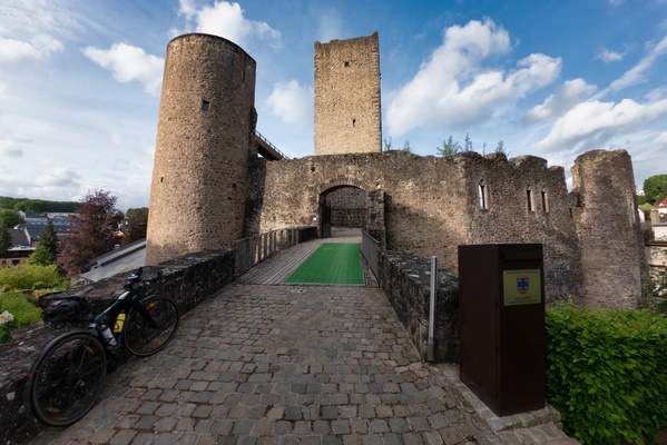
Useldange castle
-
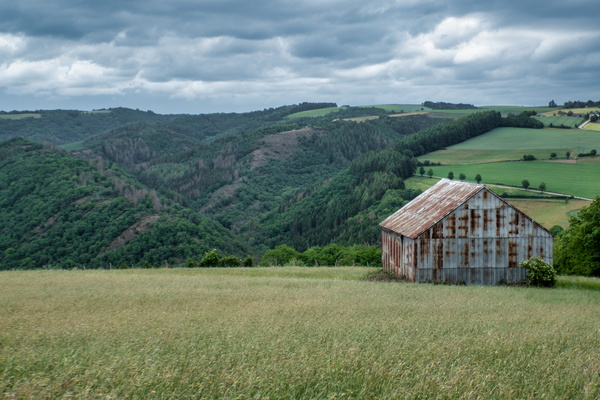
View on Ourtal near Groësteen
-
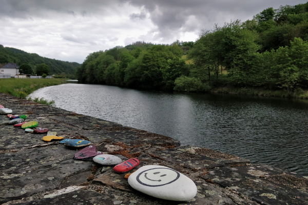
Stones in Stolzembourg
-
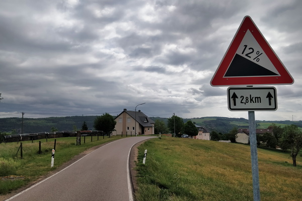
Get ready to roll down
-
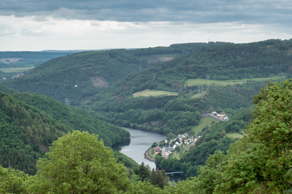
The Our river valley
-
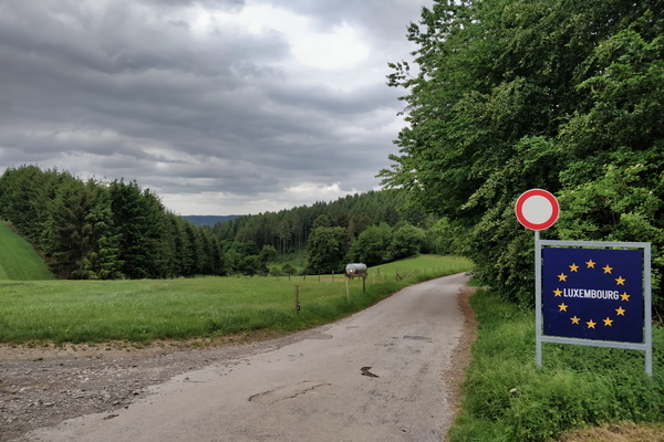
Land border between Germany and Luxembourg
-
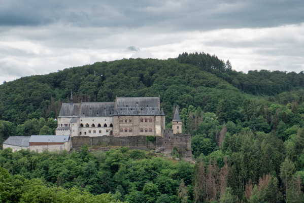
Vianden castle
-
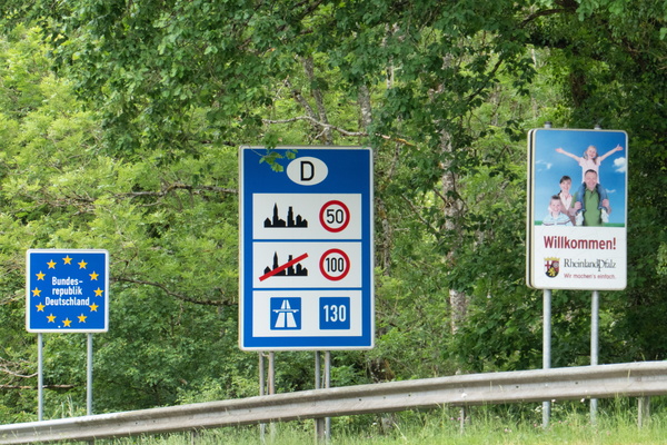
Welcome sign
-
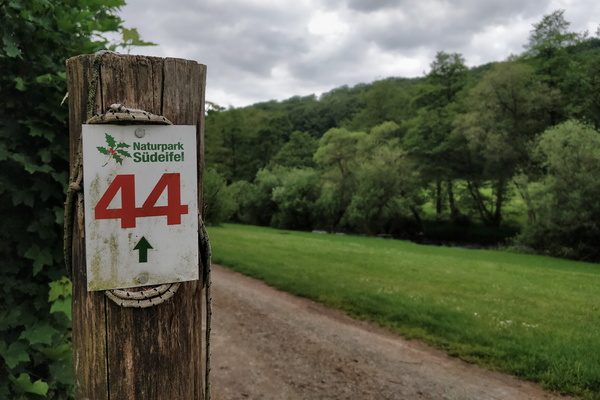
Naturpark Südeifel hiking route
-
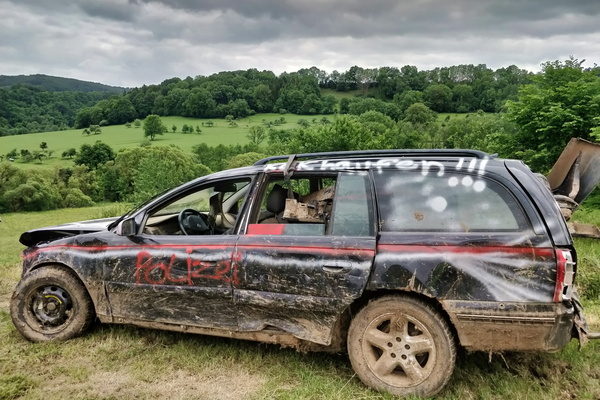
What a car!
-
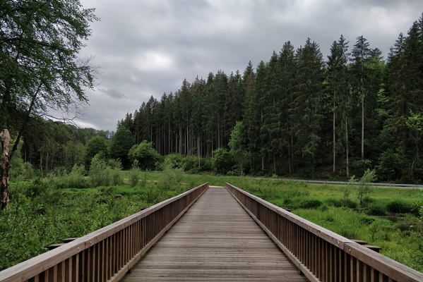
Bridge over the White Ernz river on PC 5
-
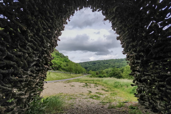
Das Weintor
-
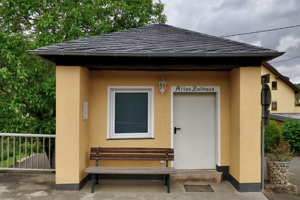
Old German customs
-
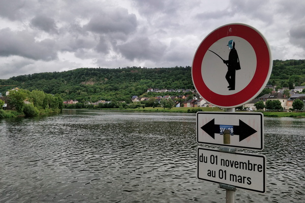
No fishing
-
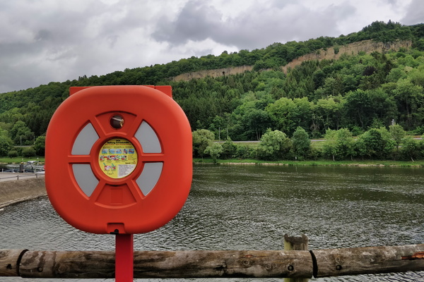
Moselle in Mertert
-
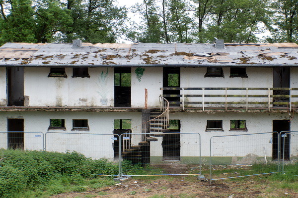
Cité Syrdall in Wecker
-
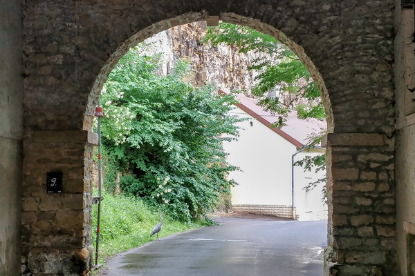
Heron bird
-
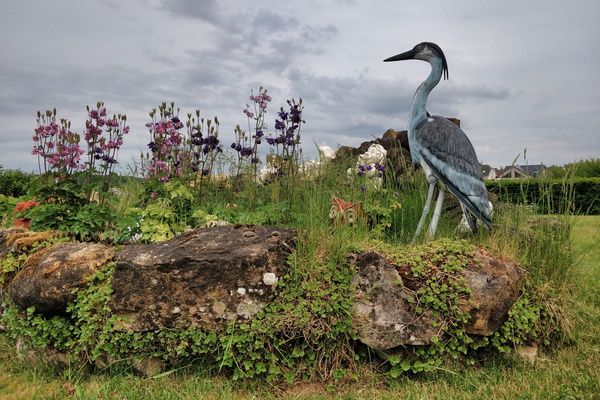
A garden in Steinfort
-
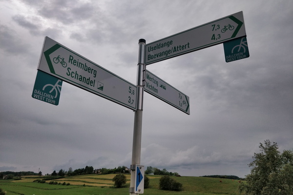
Cycling directions in Vichten
-
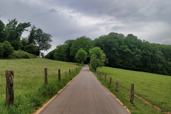
New cycleway between Boevange and Vichten
-
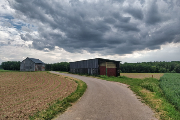
Before the rain
-
Oops!
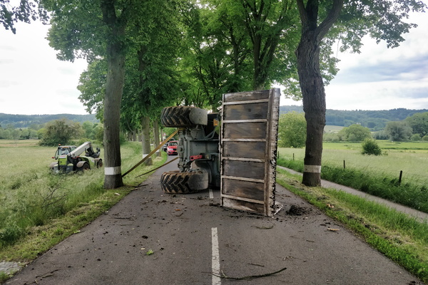
-
Oops!
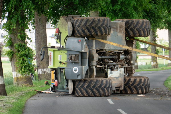
-
Another cycling challenge
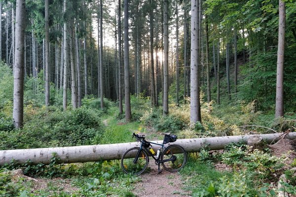
-
Cycling challenge
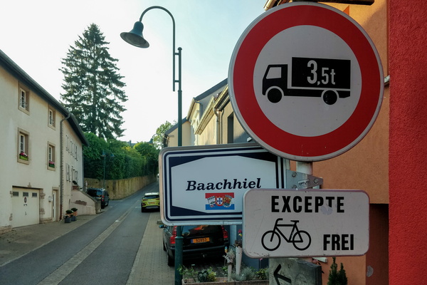
-
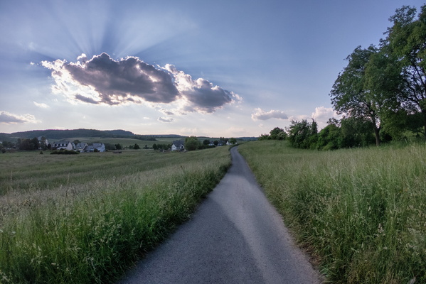
Sun is hiding
-
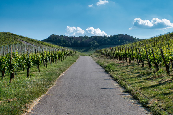
Vineyards near the Moselle
-
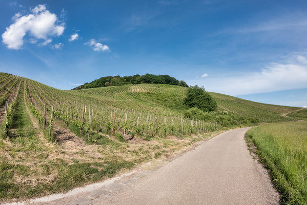
Vineyards near the Moselle
-
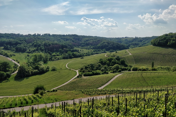
Vineyards near the Moselle
-
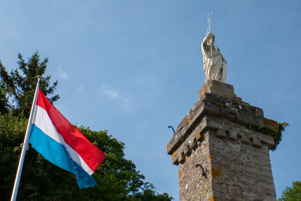
Saint-Donatius monument
-
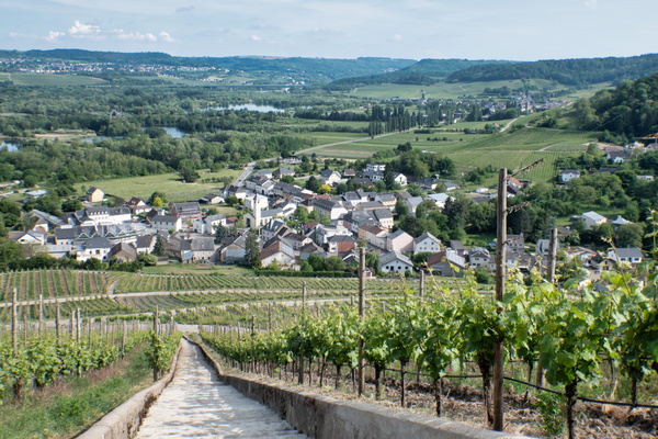
Vineyards near the Moselle
-
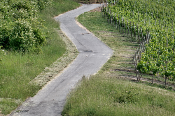
Vineyards near the Moselle
-
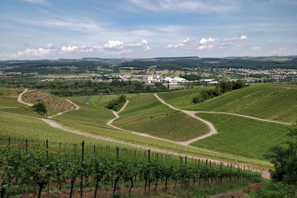
Vineyards near the Moselle
-
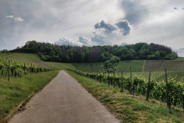
Vineyards near the Moselle
-
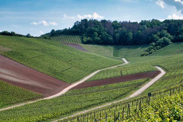
Vineyards near the Moselle
-
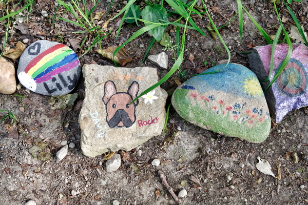
Stones
-
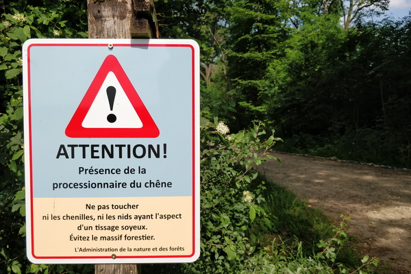
Oak processionary caterpillars warning sign
-
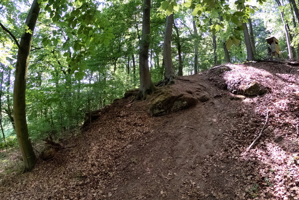
Steep slope
-
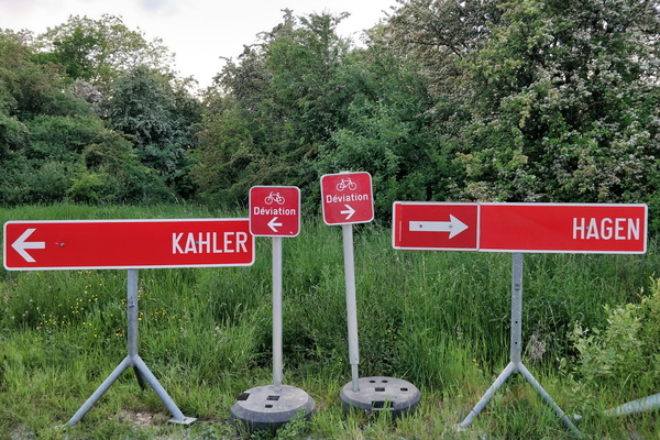
Choose your diversion
-
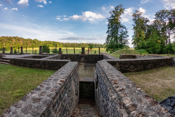
Villa Romaine Goeblange
-
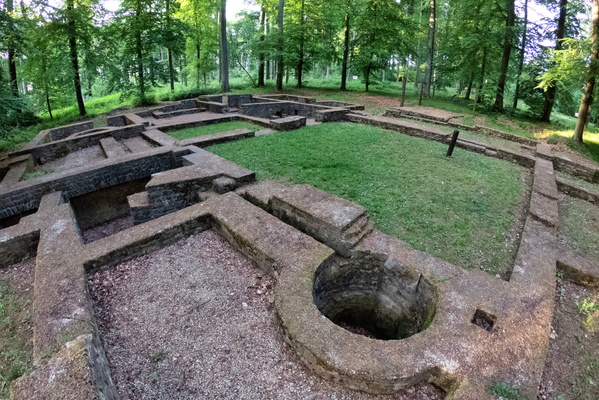
Villa Romaine Goeblange
-
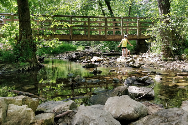
A stop at drëps picnic place
-
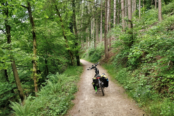
Cycling to the office in Mamerdal
-
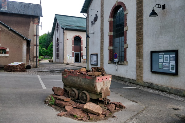
Ellergronn
-
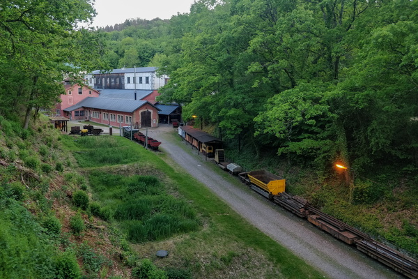
Ellergronn
-
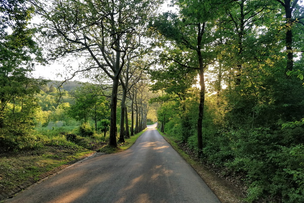
Down to Esch
-
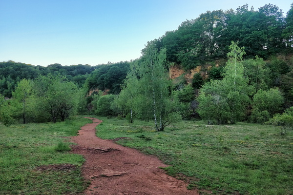
The Red Rocks
-
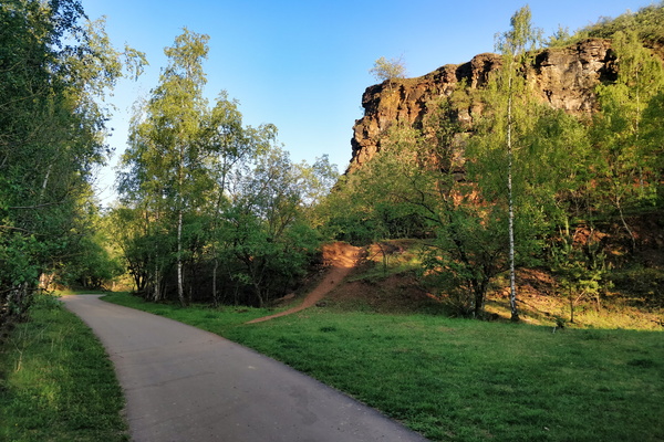
The Red Rocks
-
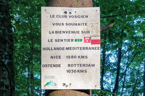
Welcome to the GR 5 hiking trail
-
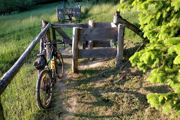
A cycling barrier
-
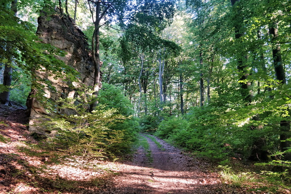
In the forest between Gosseldange and Schoenfels
-
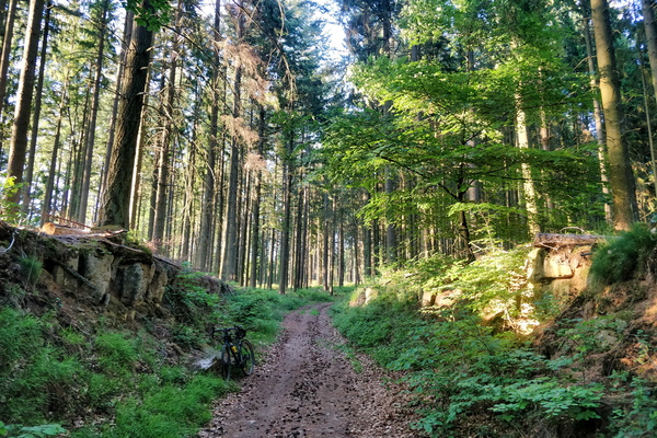
In the forest between Gosseldange and Schoenfels
-
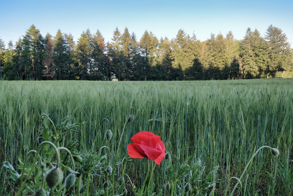
Poppy flower
-
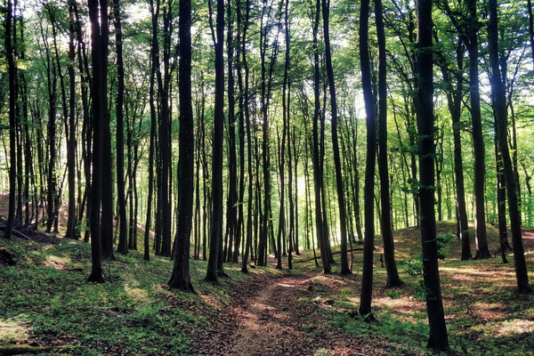
Forest near Bridel
-
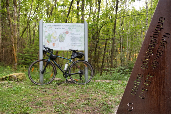
Geographical center of Luxembourg
-
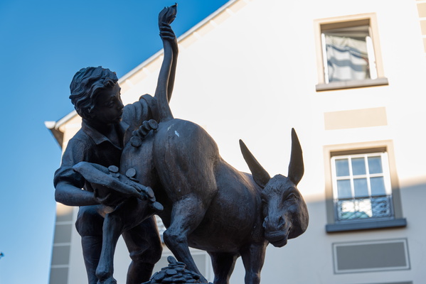
l'âne à ducats
-
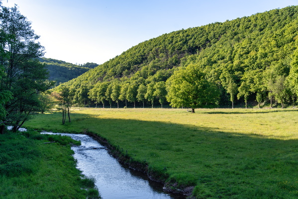
Wark valley near Warken
-
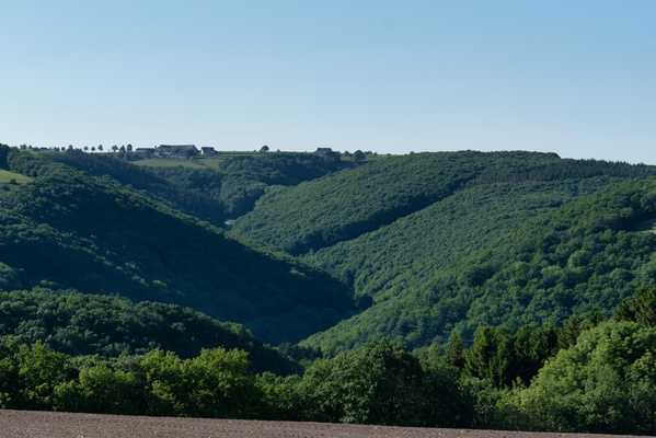
Warkdall from above
-
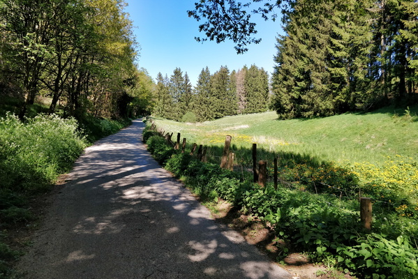
Climb out of Kuborn to Hierheck
-
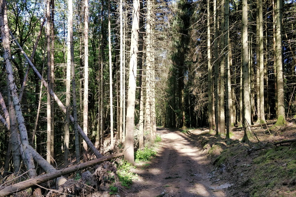
Forest track to Kuborn from Heispelt
-
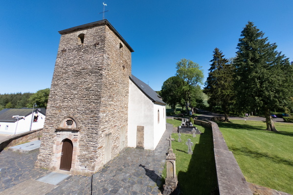
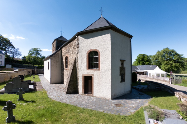
Rindschleiden church
-
Rindschleiden church
-
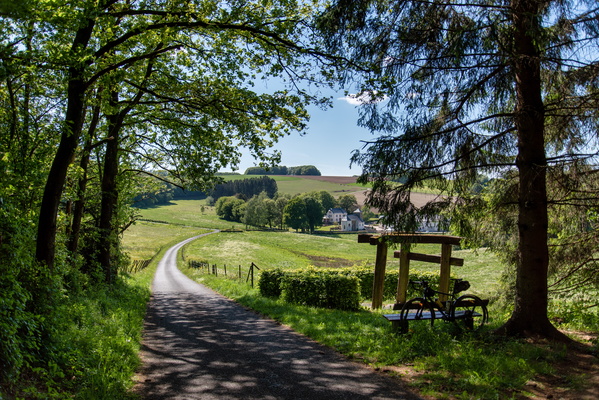
Getting to Rindschleiden
-
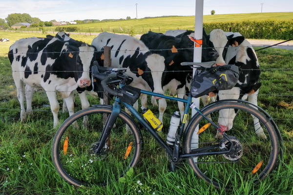
Showtime in Niederpallen
-
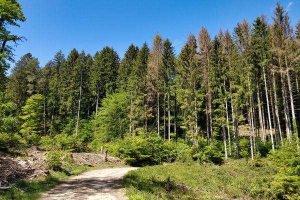
Forest near Beckerich
-
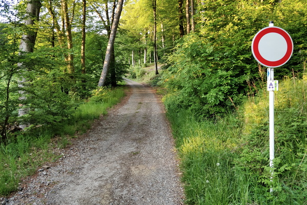
MTB trail near Mensdorf
-
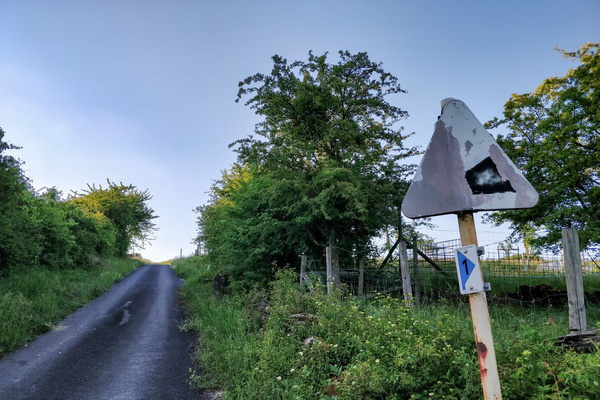
Old sign
-
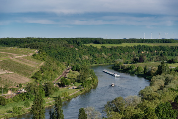
Moselle valley
-
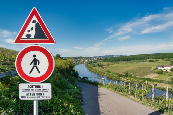
Forbidden but go at your own risk
-
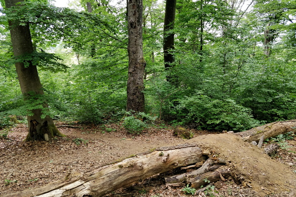
Another tree on the ground
-
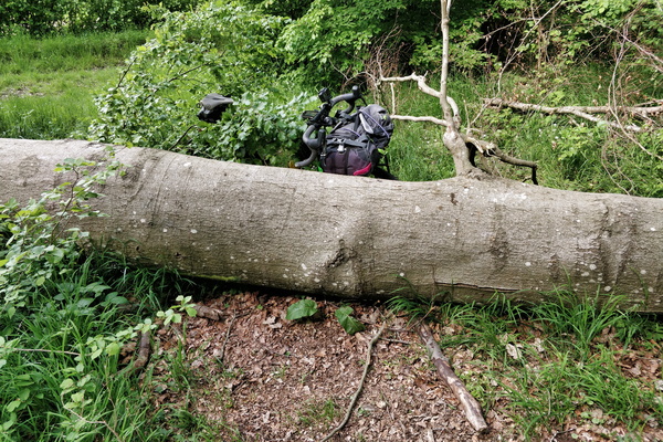
Tree on the ground!
-
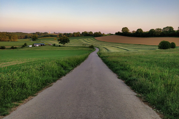
Cycling route between Garnich and Dahlem
-
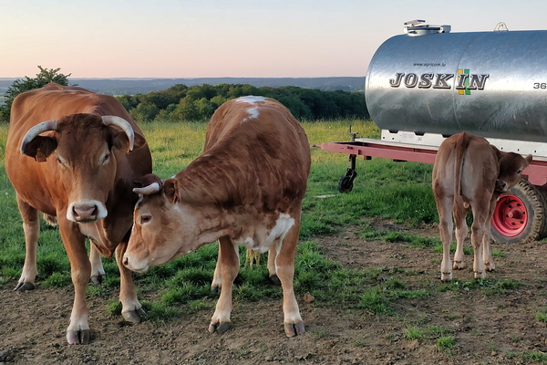
Cows
-
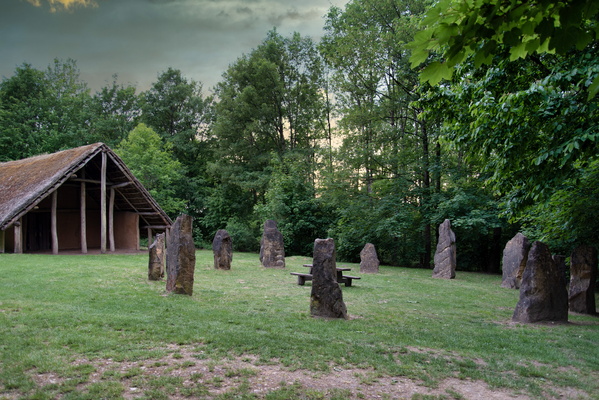
Maison Néolithique, Blaschette
-
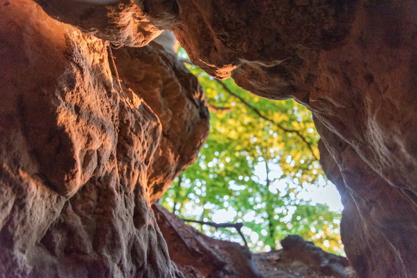
Gourmangslay cave
-
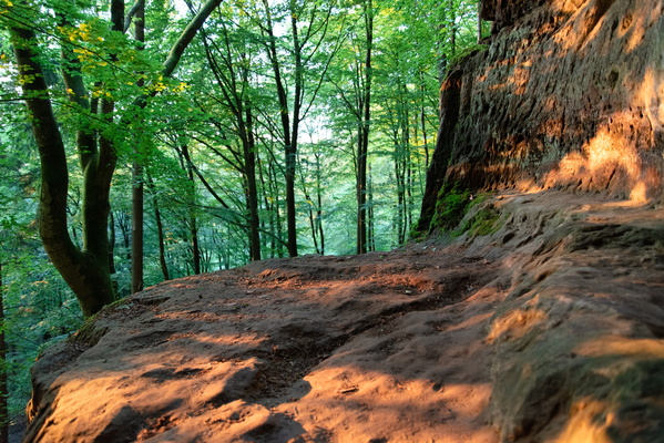
Gourmangslay cave
-
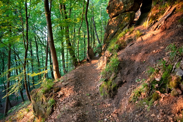
Forest near Gourmangslay, Lorentzweiler.
-
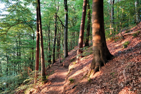
Forest near Gourmangslay, Lorentzweiler.
-
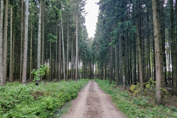
Grünewald forest track
-
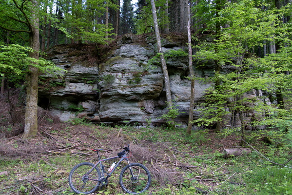
Rocks near Fréinland (Grünewald)
-
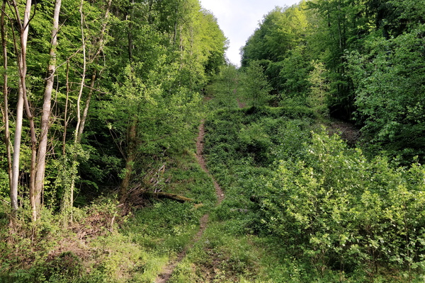
Hell of a path!
-
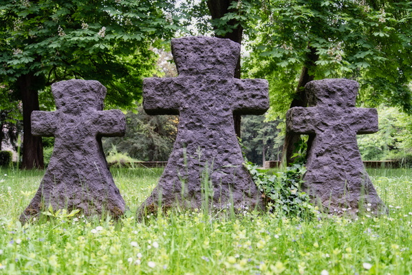
Clausen German war cemetery
-
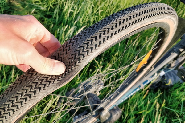
First puncture in a long time
-
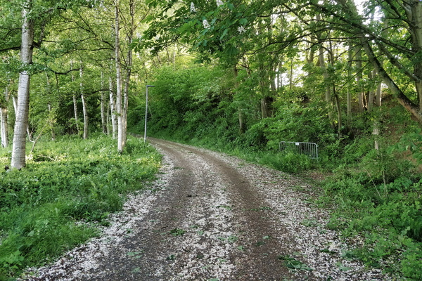
Petal covered way
-
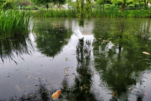
Rain in Hesper Park
-
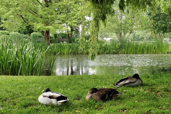
Sleeping ducks in Hesper Park
-
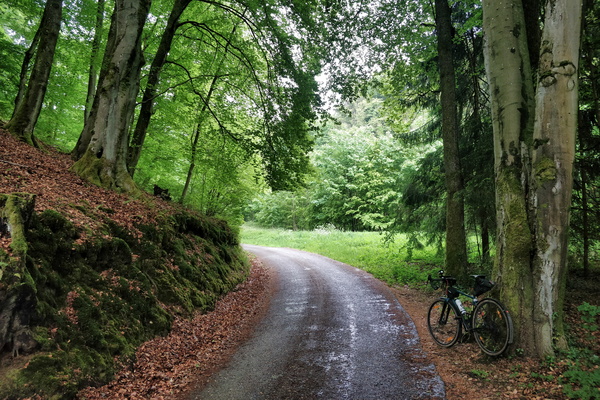
Waiting for the rain to stop
-
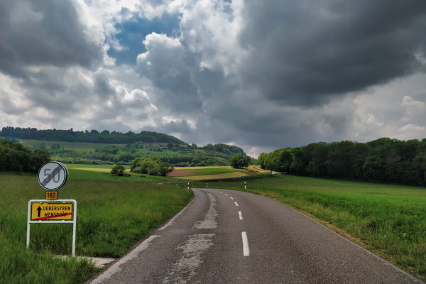
Chasing Cumulonimbus
-
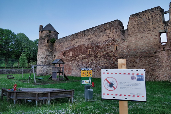
A castle and a closed playground
-
PC 16 near Niederfeulen
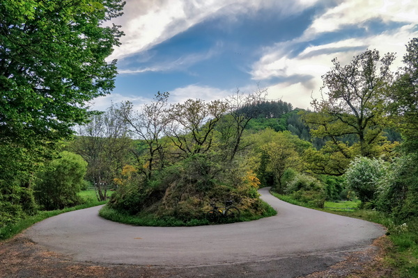
-
The village of Welscheid
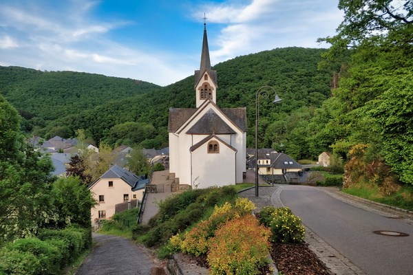
-
Sauertal between Esch-sur-Sûre and Heiderscheidgrund
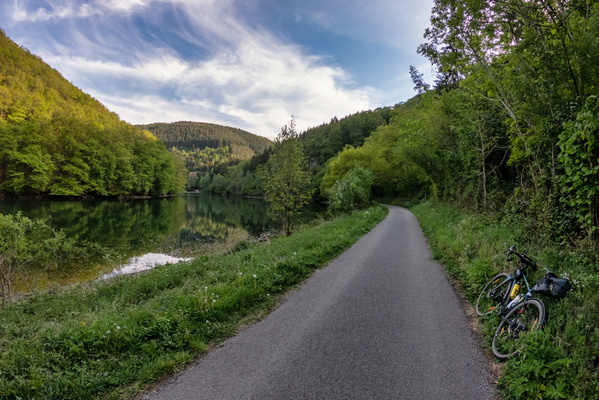
-
About to dive down to Esch-sur-Sûre
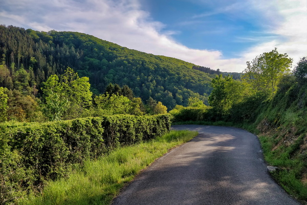
-
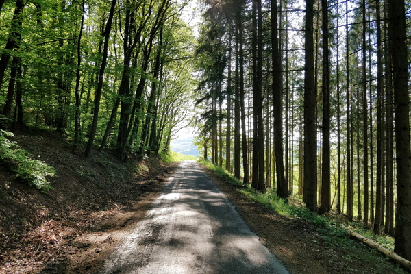
Road CR 316; looks like a cycleway to me
-
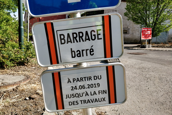
Barrage barré?
-
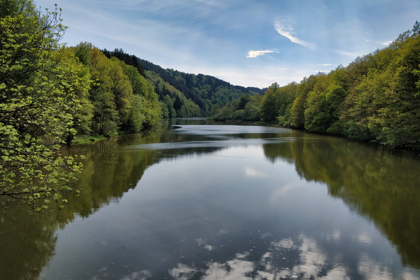
Lac de la Haute-Sûre at Misärsbréck
-
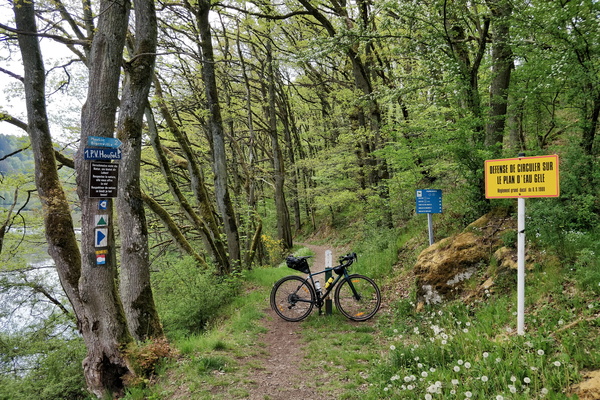
Trail at Misärsbréck
-
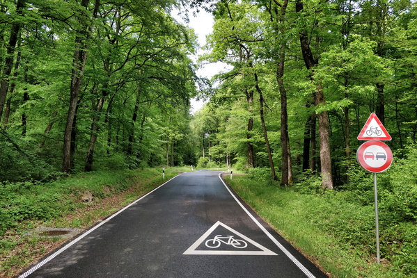
Intersection between CR 301 and PC 17
-
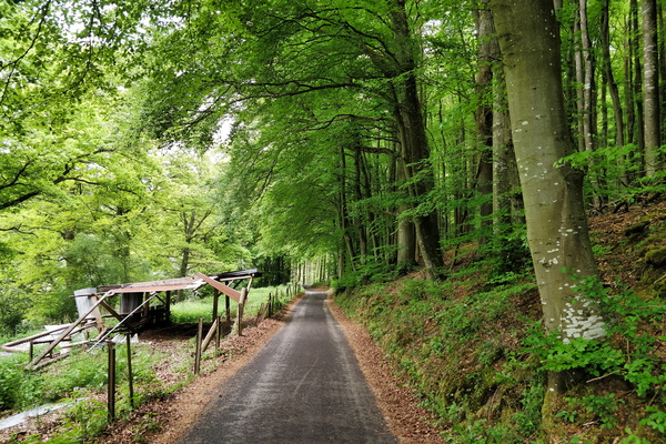
About to reach PC 12 from Hobscheid
-
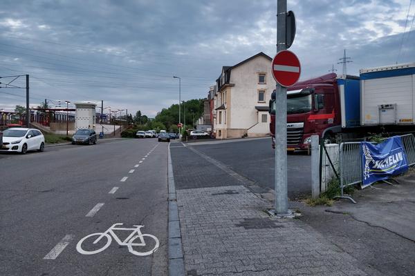
Cycling and NO cycling in Lamadelaine
-
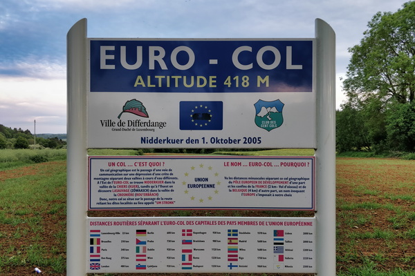
Euro-col
-
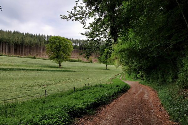
Track next to PC 12 in Hovelange
-
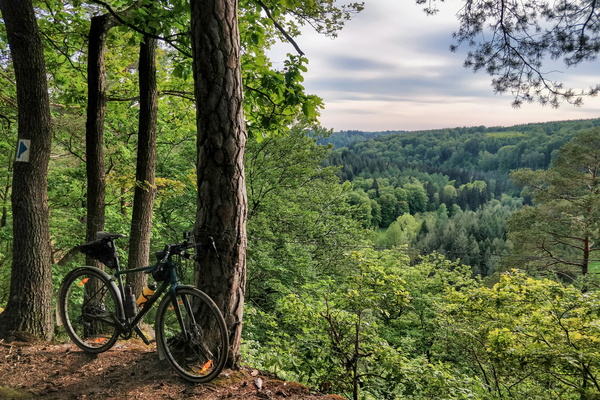
Priedigstull viewpoint
-
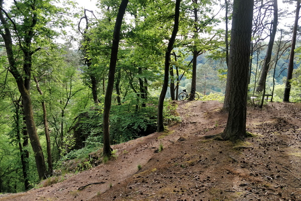
Near Priedigstull viewpoint
-
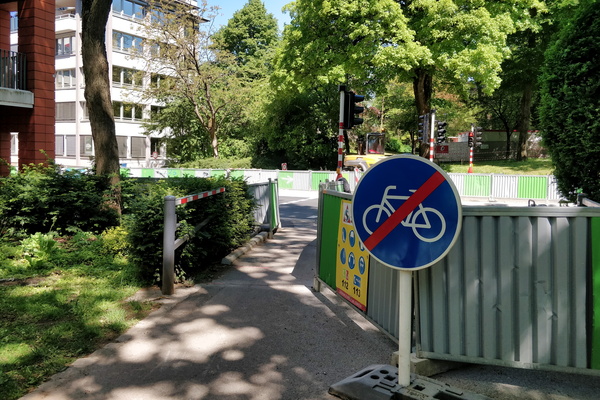
Social distancing
-
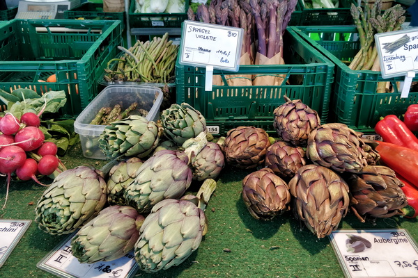
Market
-
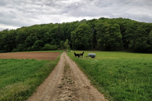
Track near Bettendorf
-
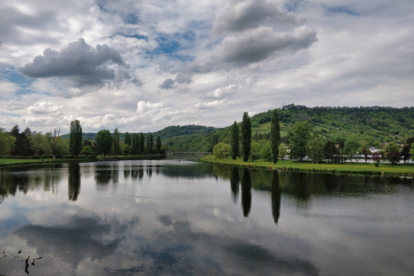
Sauer river in Rosport
-
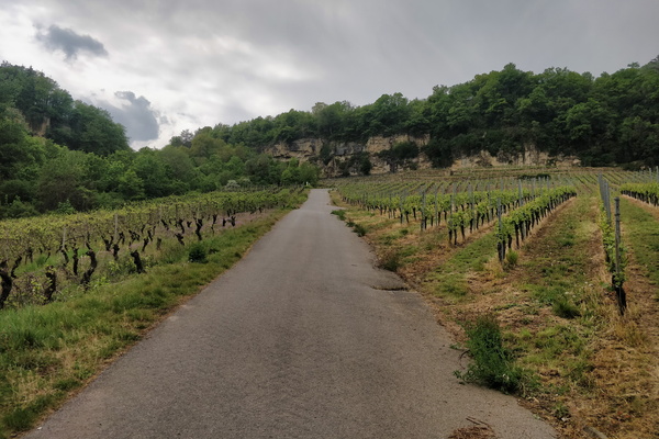
Hell of a climb near Grevenmacher
-
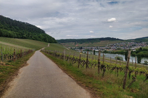
Vineyards near Wormeldange
-
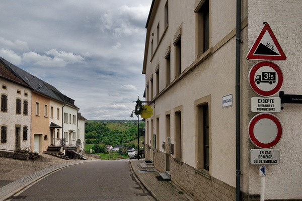
A steep slope ahead in Wormeldange
-
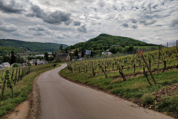
Vineyards near Schengen
-
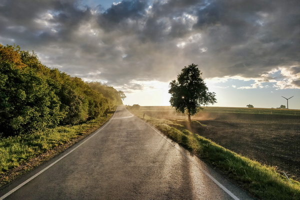
Evaporation on the road after the thunderstorm
-
Cycling lane going to the thunderstorm

-
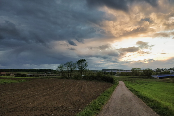
PC 13 near Tossebierg
-
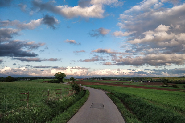
PC 13 near Garnich
-
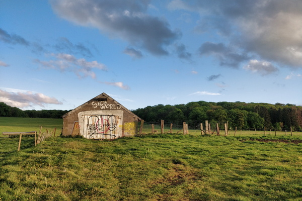
In times of a pandemic, this one is literally true
-
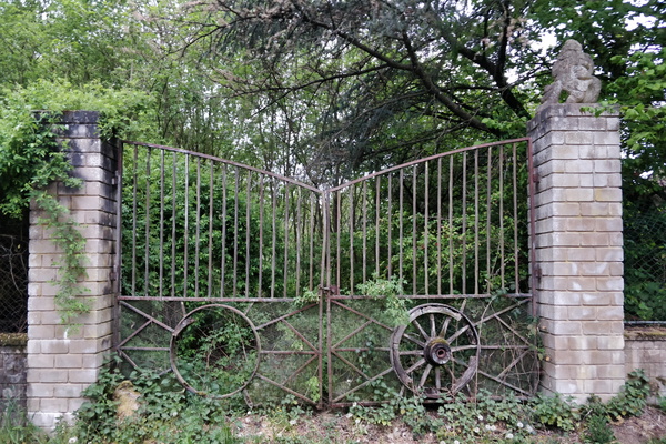
An old gate
-
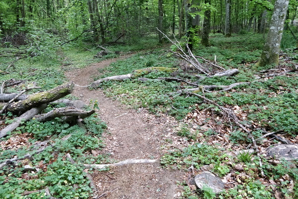
Forest path near Bettembourg
-
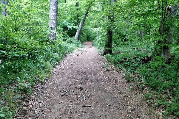
Forest track near Bergem
-
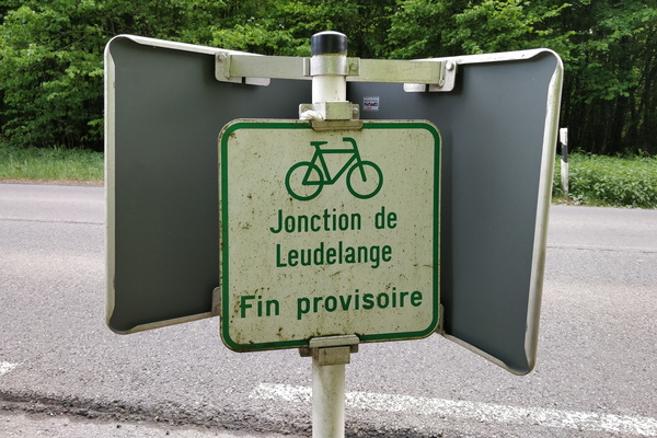
So Jonction de Leudelange doesn't go to Leudelange?
-
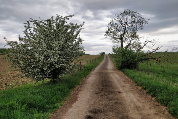
A plane is flying on this picture
-
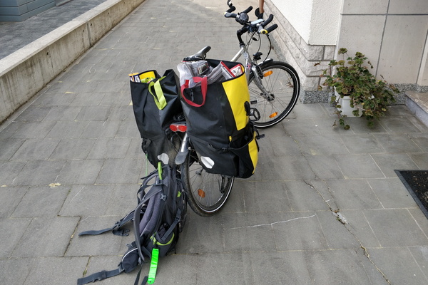
After a groceries stop
-
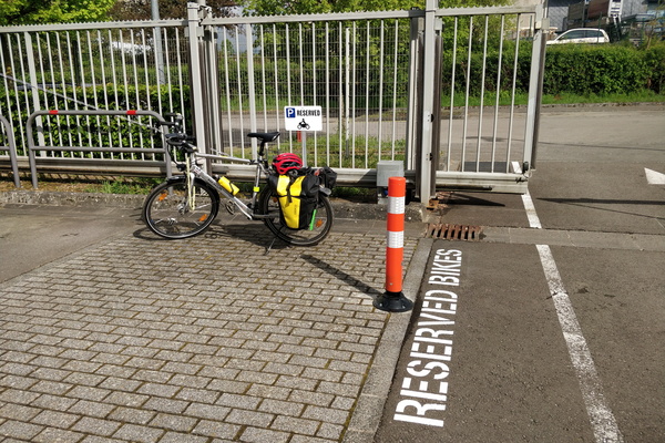
Bike parking...
-
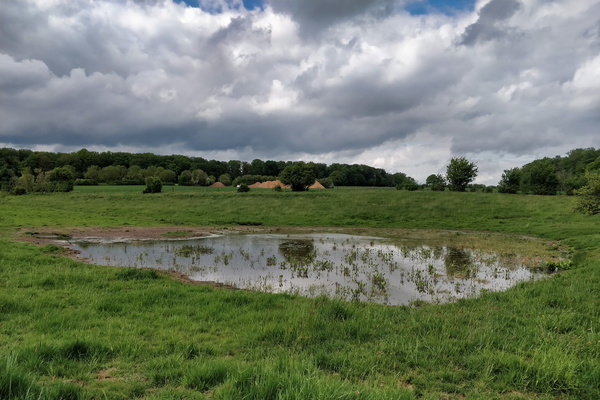
Tiny pond near Windhof
-
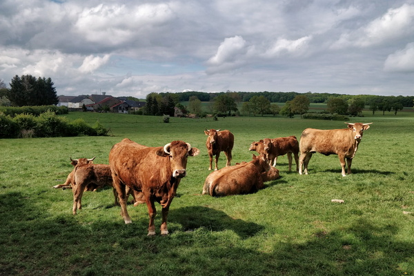
Cows in Goetzingen
-
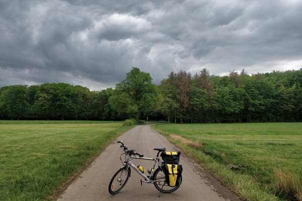
Cycling to the datacenter
-
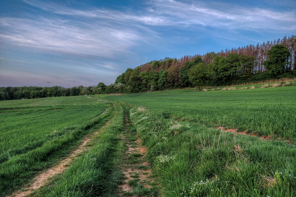
A track near Garnich
-
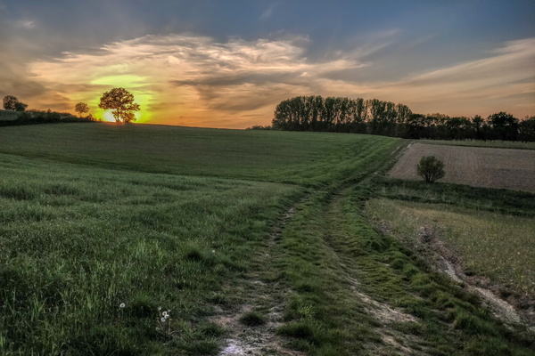
Sunset in Garnich
-
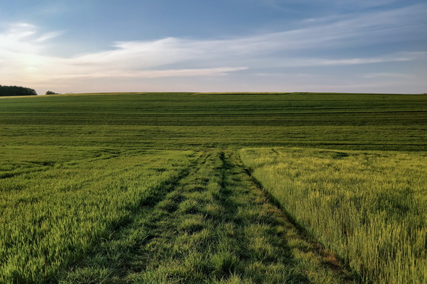
The grass track going to some more grass
-
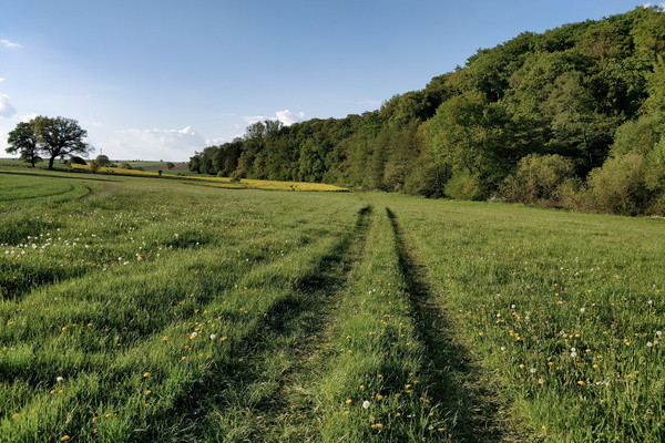
Track exploration near Pissange
-
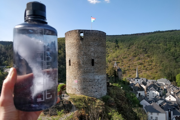
Fresh water refill at Esch-sur-Sûre
-
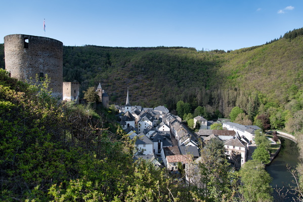
Esch-sur-Sûre
-
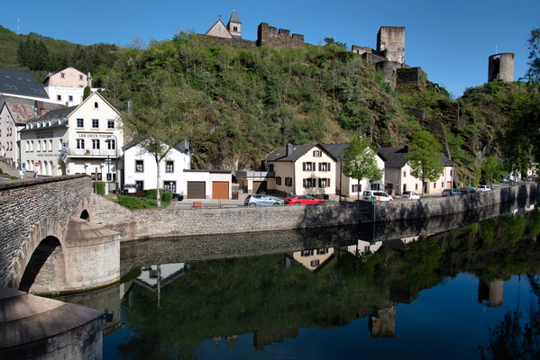
Esch-sur-Sûre
-
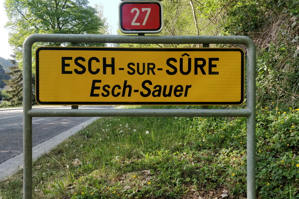
Welcome to Esch-sur-Sûre
-
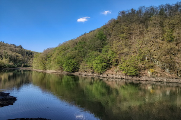
View from what's to be the PC 19 between Heiderscheidgrund and E
-
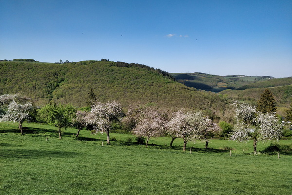
Blooming trees near Tadler
-
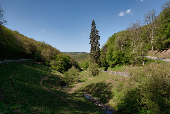
Climb from Sauertal to Tadler
-
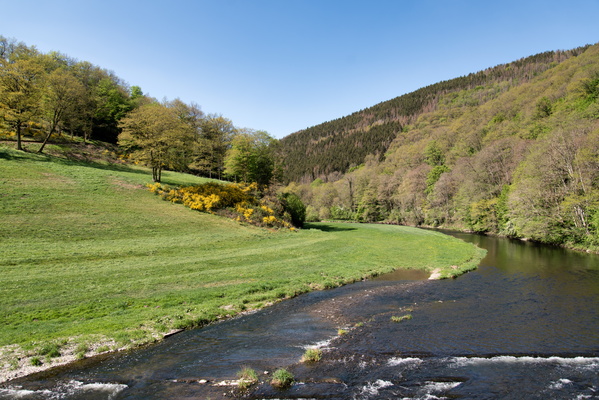
Sauer valley
-
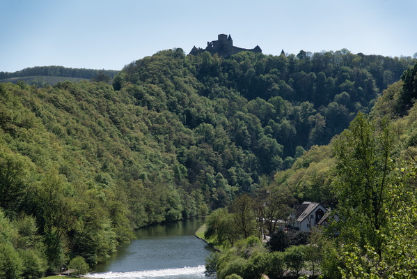
Sauer valley below Bourscheid castle
-
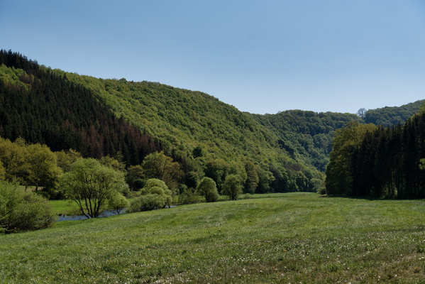
Sauer valley
-
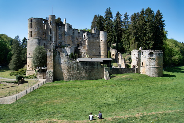
Beaufort castle
-
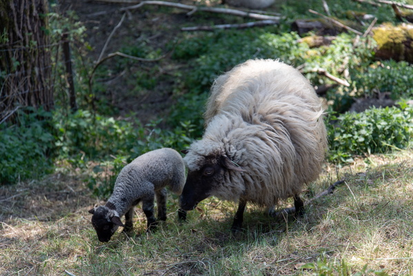
Sheep
-
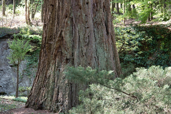
Remarkable Sequoia tree in Bourglinster
-
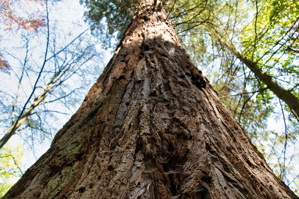
Remarkable Sequoia tree in Bourglinster
-
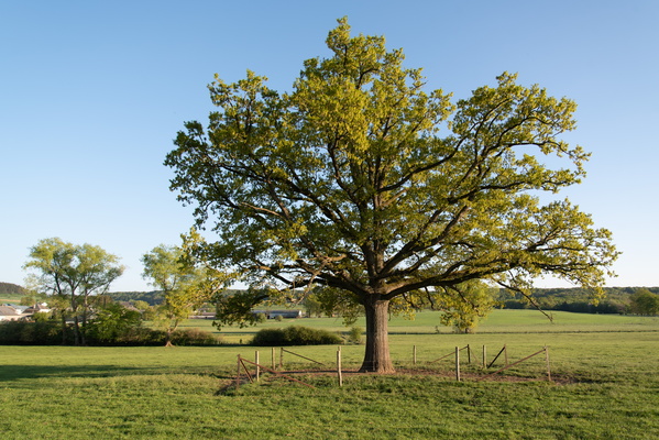
Tree near Kahler
-
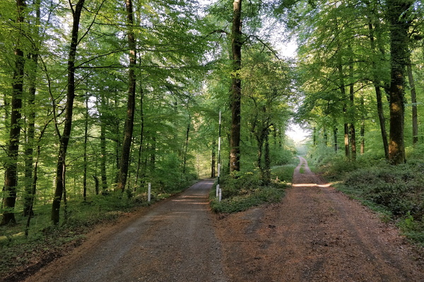
Forest near Clemency
-
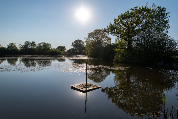
Water near Clemancy
-
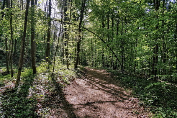
Forest near Fond-de-Gras
-
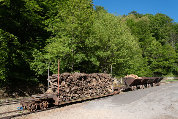
Fond-de-Gras
-
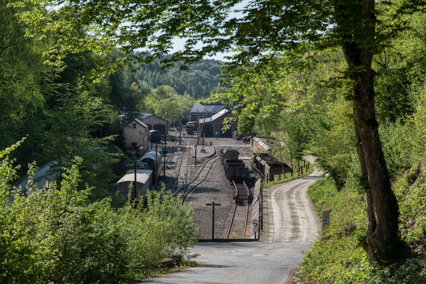
Fond-de-Gras
-
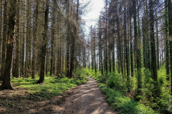
Prënzebierg
-
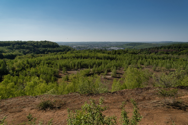
Prënzebierg
-
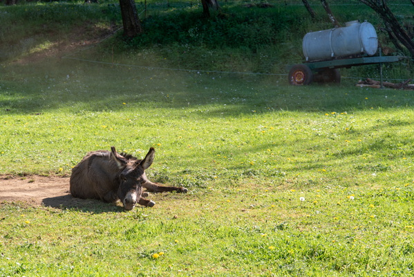
Donkey
-
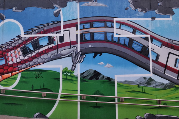
The mural of Mersch underpass
-
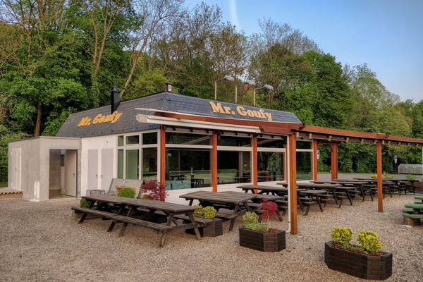
Empty Mr. Goofy
-
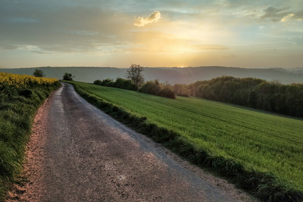
Sunset near Schieren
-
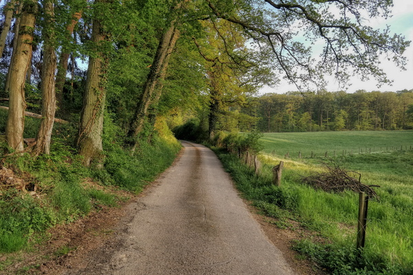
Somewhere above Schieren
-
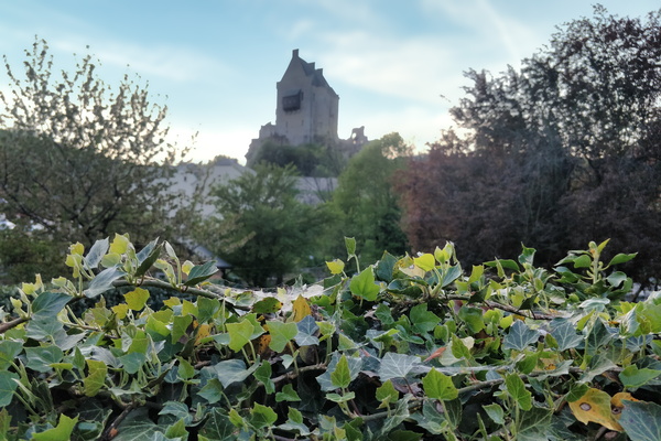
Larochette castle
-
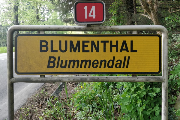
Welcome to Blumenthal
-
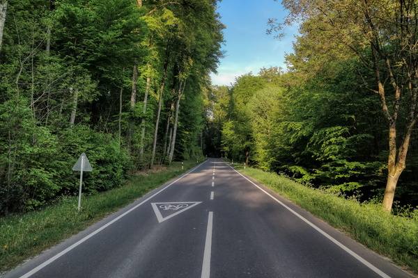
Cycleway junction near Bech
-
Cycling directions near Syren

-
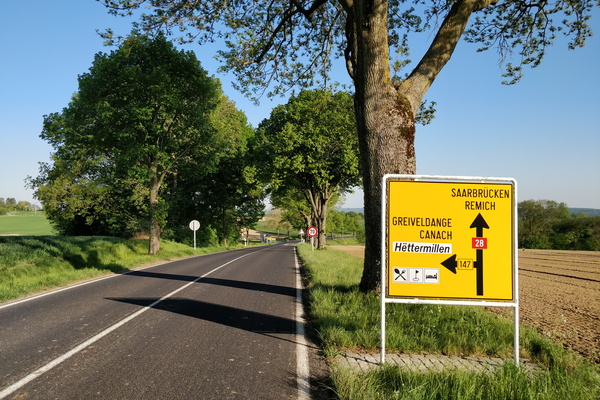
Empty N28 road
-
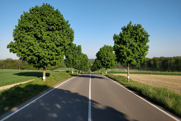
Empty N28 road
-
Curiosity

-
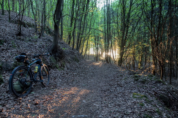
Golden hour near Keispelt
-
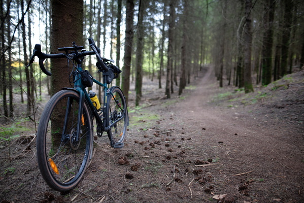
Forest path between Kopstal and Keispelt
-
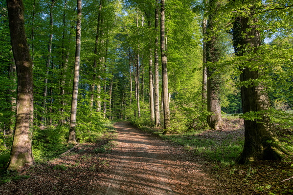
Forest track between Kopstal and Keispelt
-
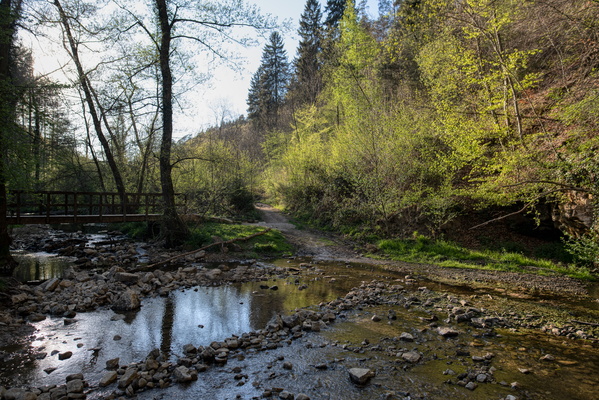
Drëps
-
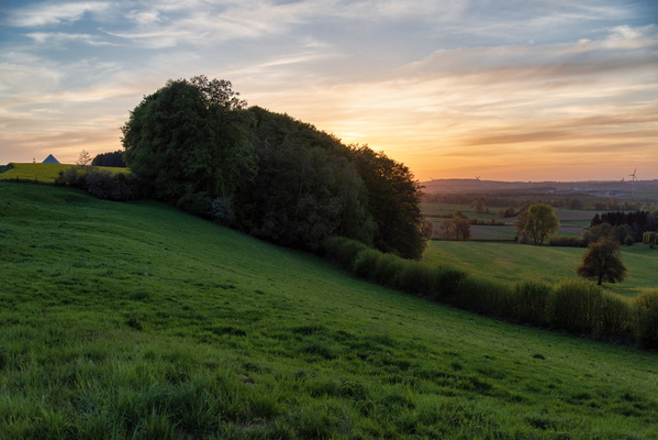
Sunset near Hivange
-
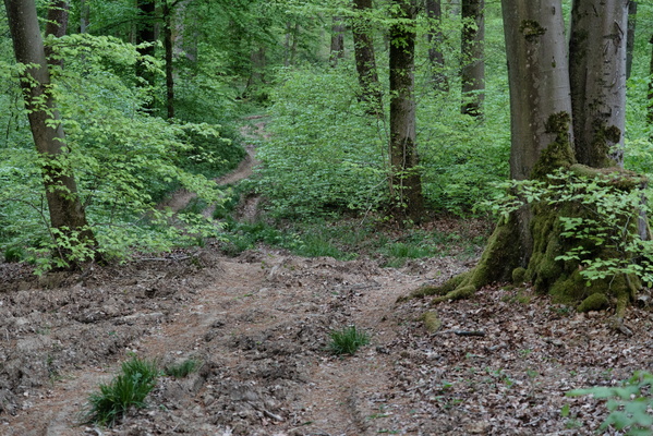
Exploring some forest tracks near Schouweiler
-
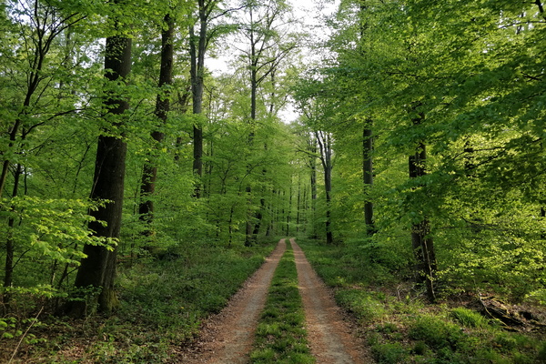
Forest track near Roedgen
-
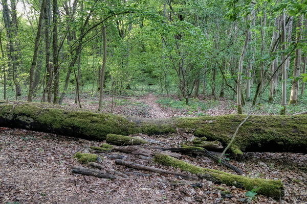
Path in Ënneschte Bësch
-
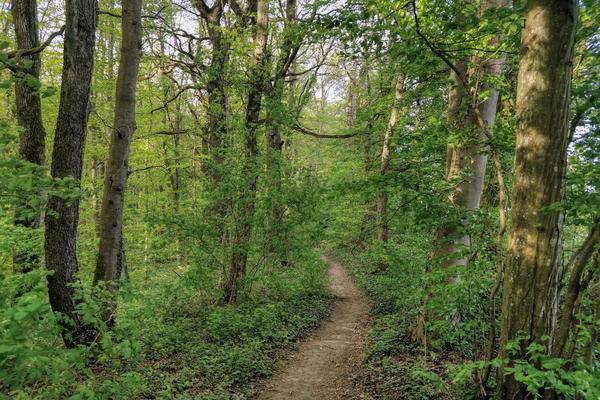
Forest path near Itzig
-
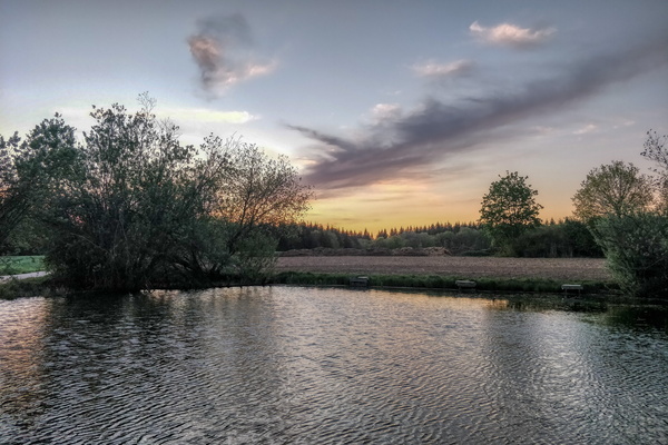
Water at sunset near Itzig
-
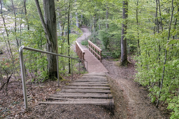
Hiking trail near Dupont de Nemours
-
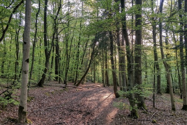
Forest path near Schuttrange
-
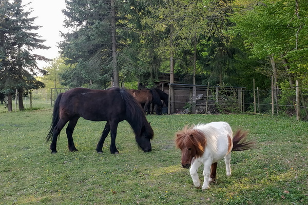
Horse or pony in Roodt-sur-Syre?
-
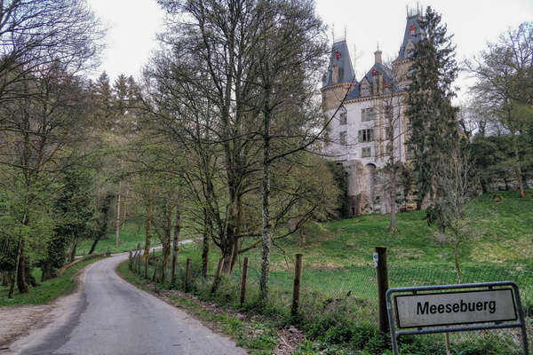
Meysembourg castle
-
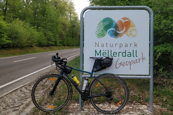
Entering Mullerthal area
-
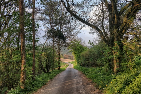
Road from Burden to Sauertal
-
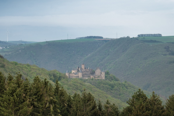
Bourscheid castle
-
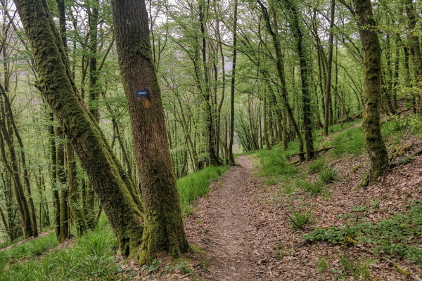
Steep slope on Escapardenne Lee Trail
-
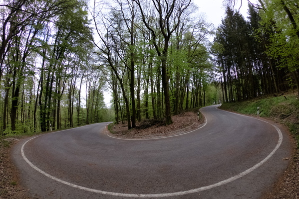
Road near Haarderbach
-
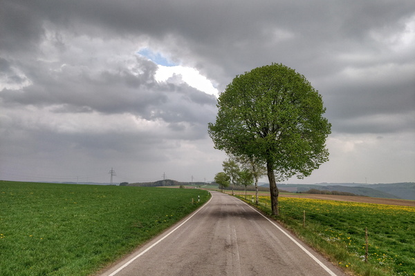
Some thunderstorm forming?
-
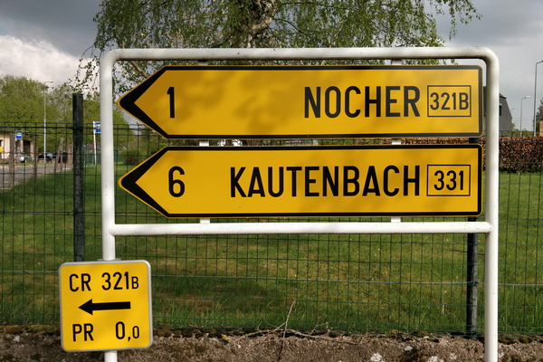
Next stop: Nocher
-
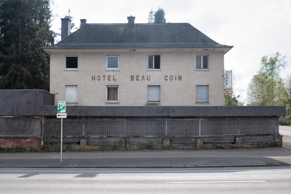
Hotel Beau Coin
-
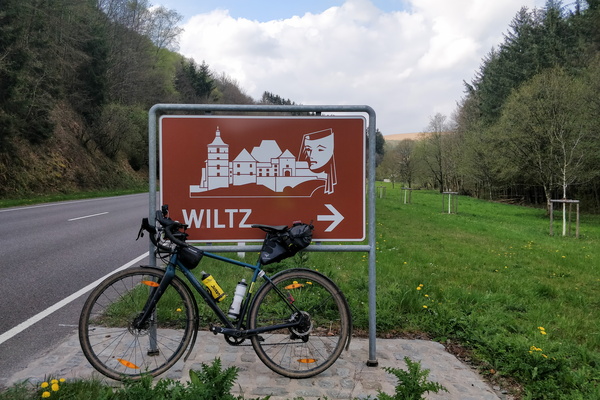
Sign to Wiltz
-
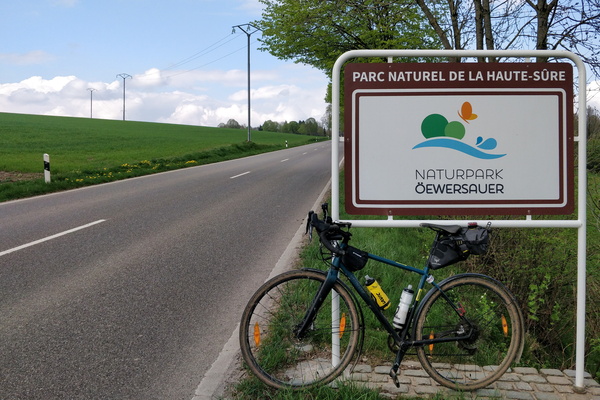
Parc Naturel de la Haute-Sûre
-
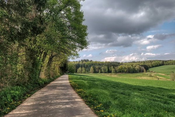
Cycling route between Grosbous and Dellen
-
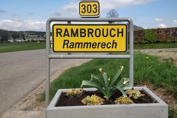
Welcome to Rambrouch
-
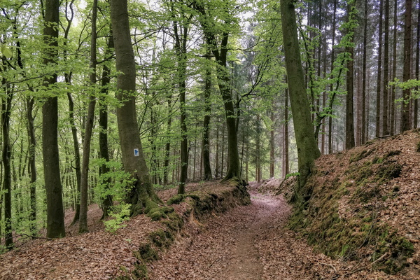
Forest near Openthalt
-
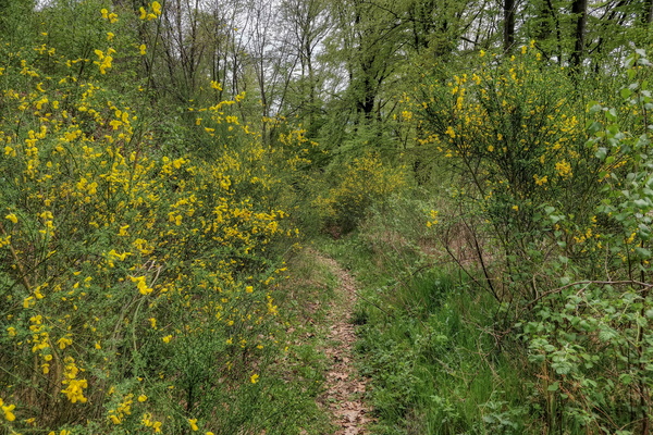
Path near Reckange-Barrière
-
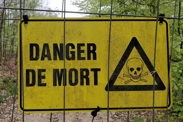
We're gonna die!
-
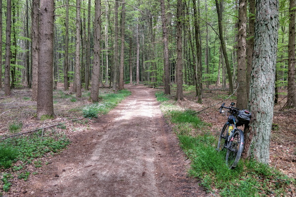
A very quiet forest near Kuelbecherhaff
-
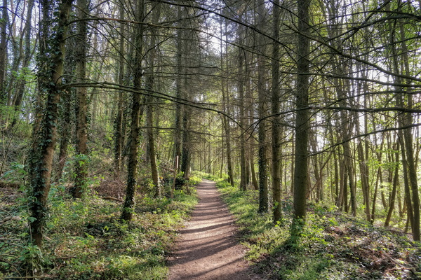
Forest near Itzig
-
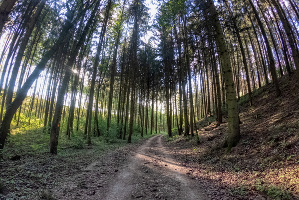
Forest near Itzig
-
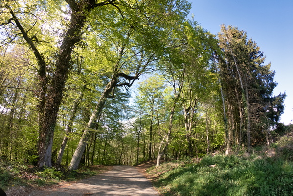
Exploration near Weiler-la-Tour
-
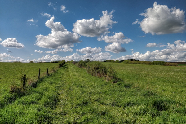
Exploring some unvisited tracks going nowhere
-
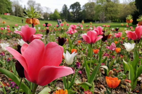
Flowers in the park
-
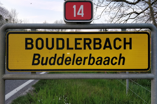
My first time in Boudlerbach
-
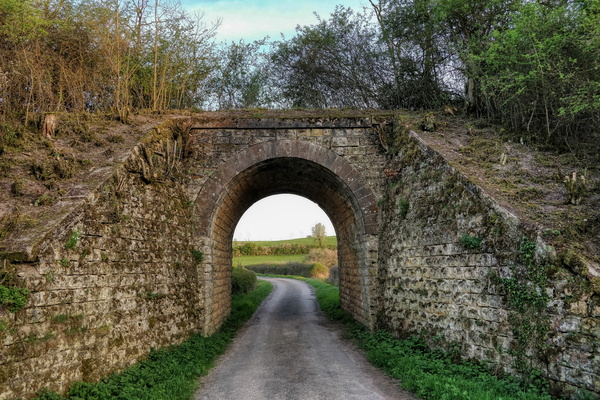
Old rail bridge near Junglinster
-
Hiking directions in Grünewald
