- Visits
- 1735
- Rating score
- no rate
EXIF Metadata
- Make
- Panasonic
- Model
- DC-TZ200
- DateTimeOriginal
- 2020:07:03 16:24:19
- ApertureFNumber
- f/6.4
IPTC Metadata
- iptc_keywords
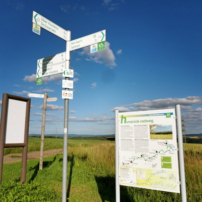
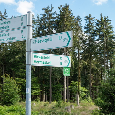
- country:Deutschland, country_code:de, county:Landkreis Bernkastel-Wittlich, hiking:European long distance path E3, man_made:Erbeskopfturm, municipality:Thalfang am Erbeskopf, postcode:54426, road:Zum Hilscheider Gipfelblick, sign, state:Rheinland-Pfalz, village:Hilscheid
- iptc_caption
- The summit of Rhineland-Palatinate, Saarland and Benelux.

 Download Photo
)
)
)
)
)
0 comments