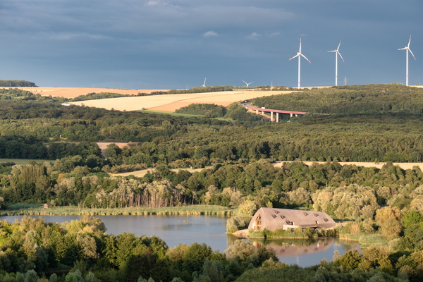
-
SES Astra in Betzdorf
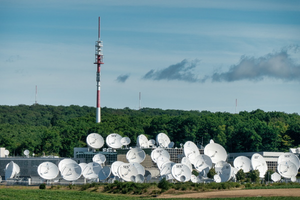
-
The Moselle river from Römerbrücke in Trier
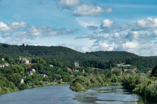
-
Ruwer-Hochwald-Radweg near Mertesdorf
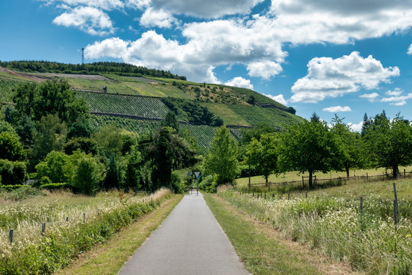
-
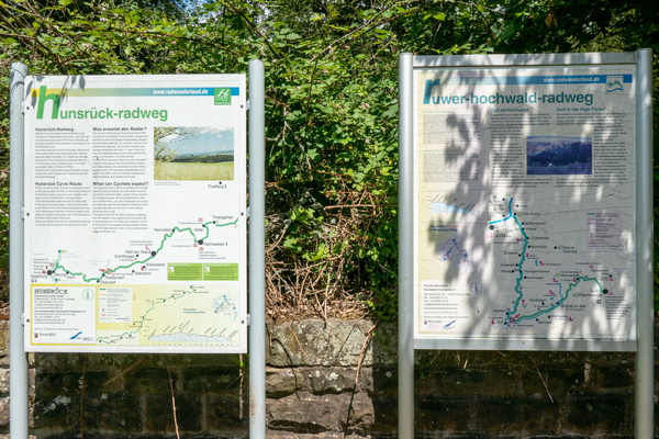
Hunsrück-Radweg & Ruwer-Hochwald-Radweg
-
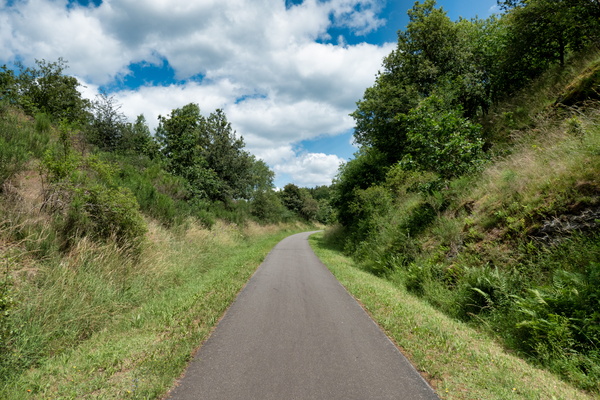
Ruwer-Hochwald-Radweg near Waldweiler
-
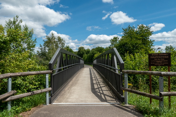
Cycling directions in Kell am See
-
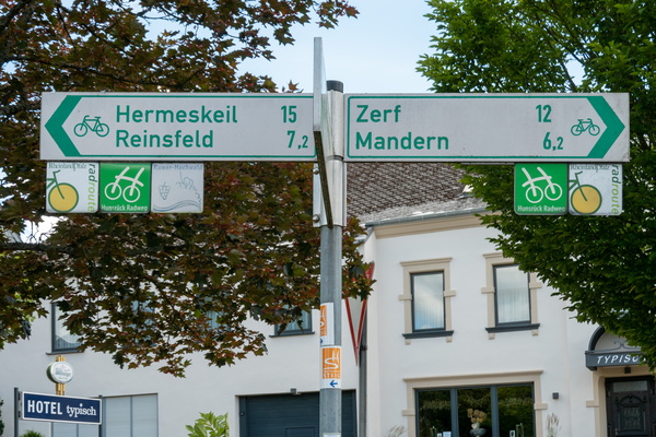
Cycling directions in Kell am See
-
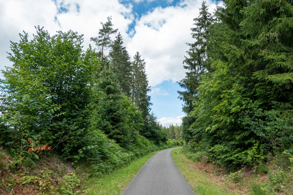
Cycling near Kell am See
-
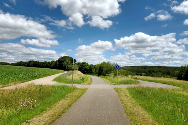
Cycling near Reinsfeld
-
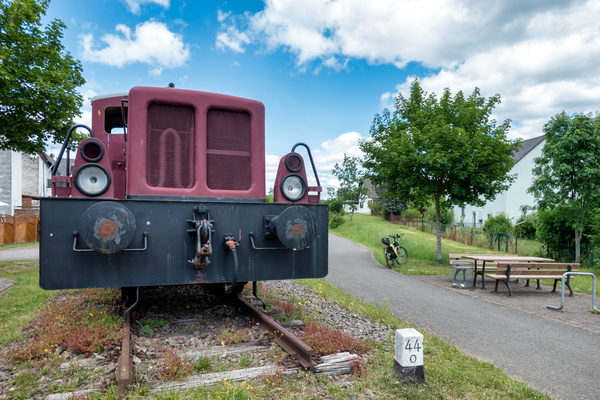
Train in Reinsfeld
-
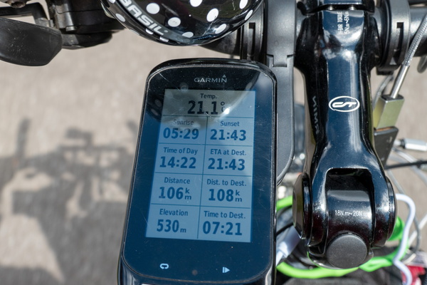
I should arrive at the Rhine just for sunset
-
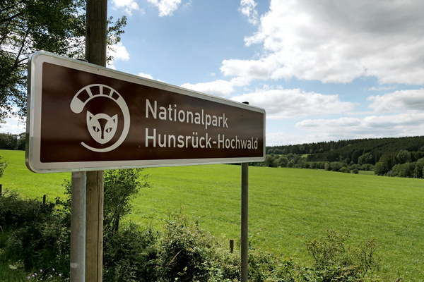
Nationalpark Hunsrück-Hochwald
-
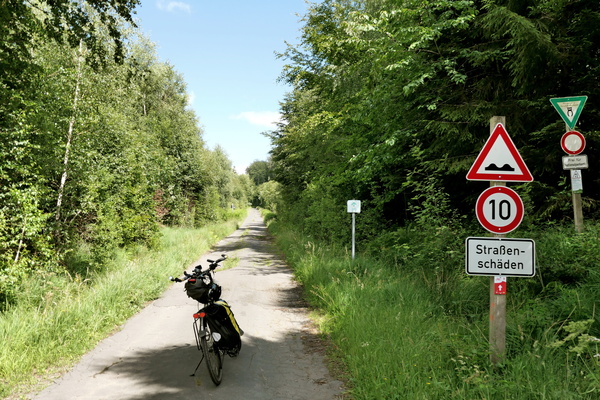
Hunsrück-Radweg in Nationalpark Hunsrück-Hochwald
-
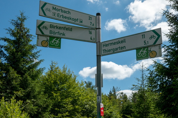
Cycling directions near Ruppelstein
-
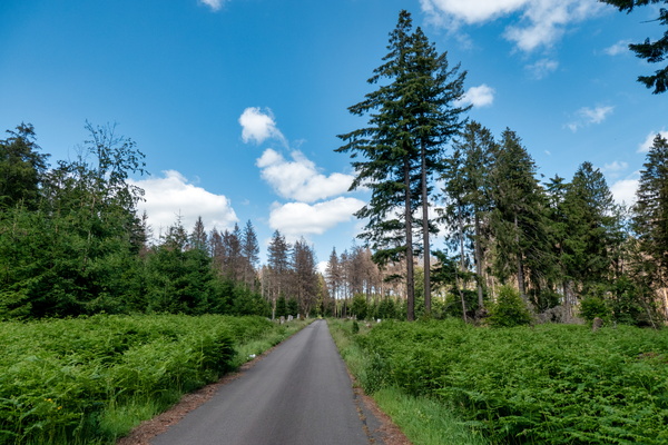
Hunsrück-Radweg near Erbeskopf
-
Cycling directions near Erbeskopf
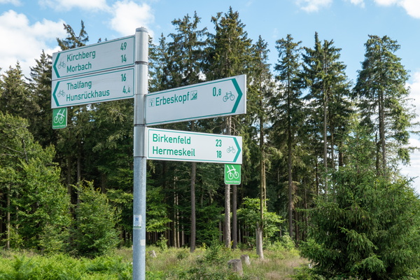
-
Erbeskopf: the highest elevation of the trip
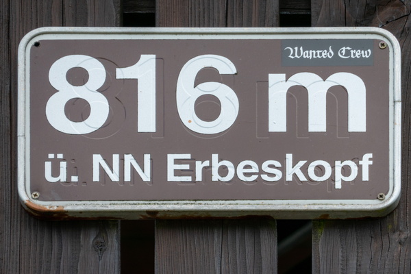
-
View from Erbeskopf
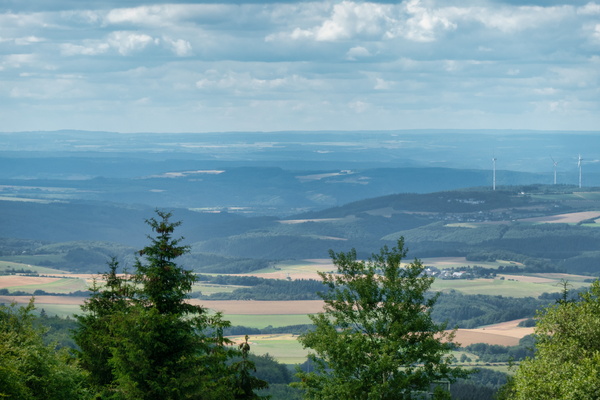
-
The Erbeskopf Peak information board
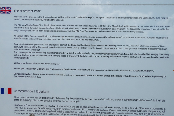
-
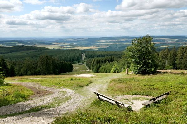
Erbeskopf
-
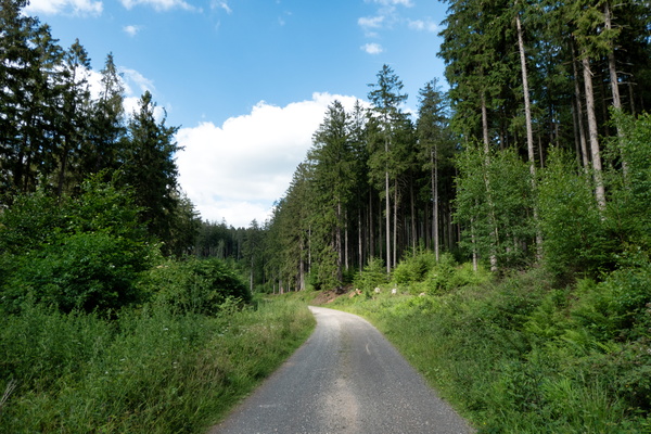
Hunsrück-Radweg near Morbach
-
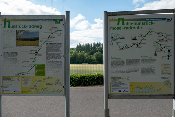
Information boards at cycling routes intersection
-
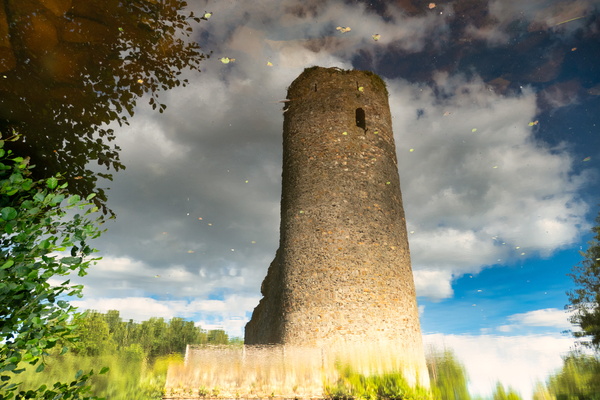
Castle Ruin Baldenau reflection
-
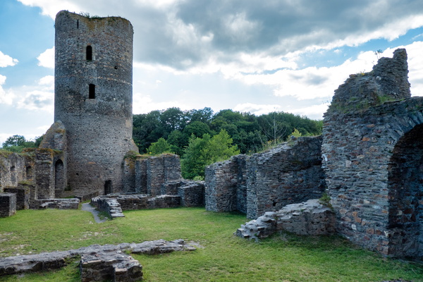
Castle Ruin Baldenau
-
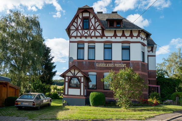
House in Büchenbeuren
-
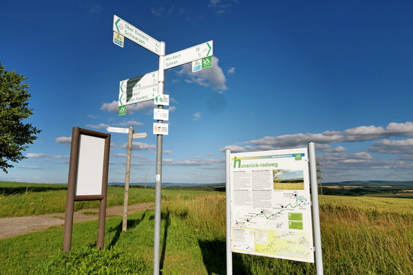
Cycling directions signs and information board near Sohren
-
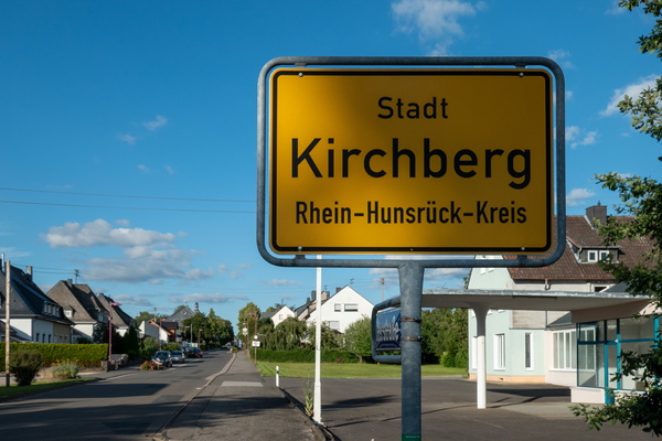
Kirchberg town limits
-
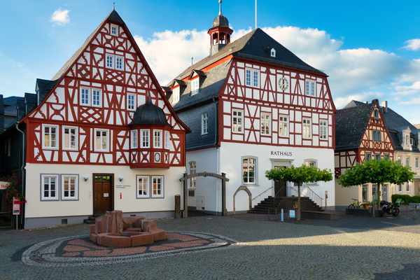
The town of Kirchberg
-
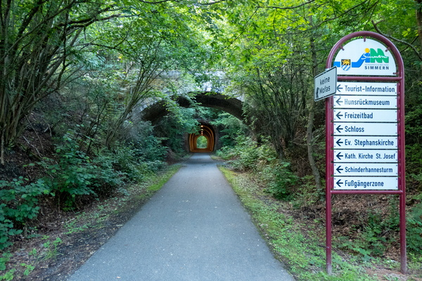
Tunnels near Simmern
-
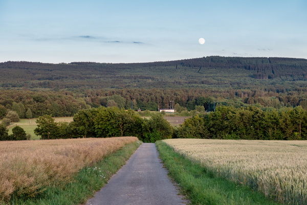
Moonrise in the Hunsrück
-
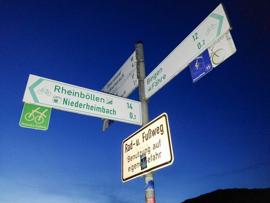
Rheinböllen is not on the Rhine shore
-
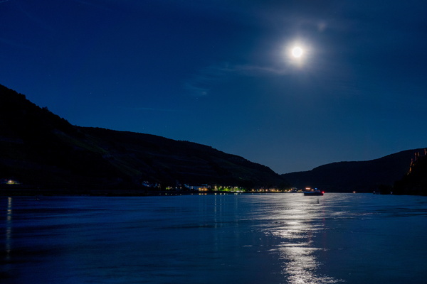
Moon on the Rhine
-
Rhine river in Bingen

-
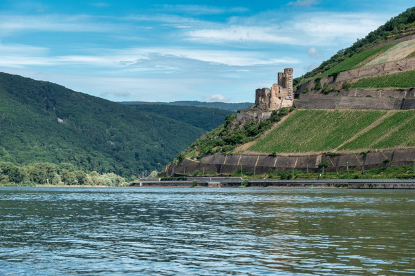
The Rhine river in Bingen am Rhein
-
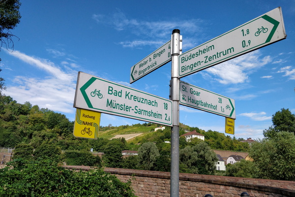
Cycling directions in Bingerbrück
-
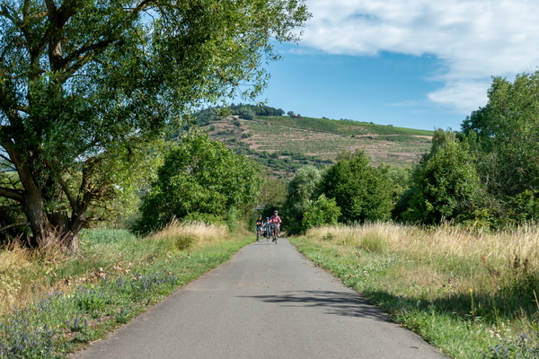
Nahe-Radweg near Bingen
-
Bad Kreuznach
-
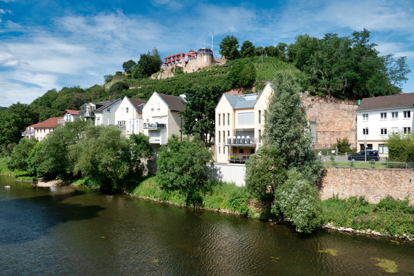
Bad Kreuznach
-
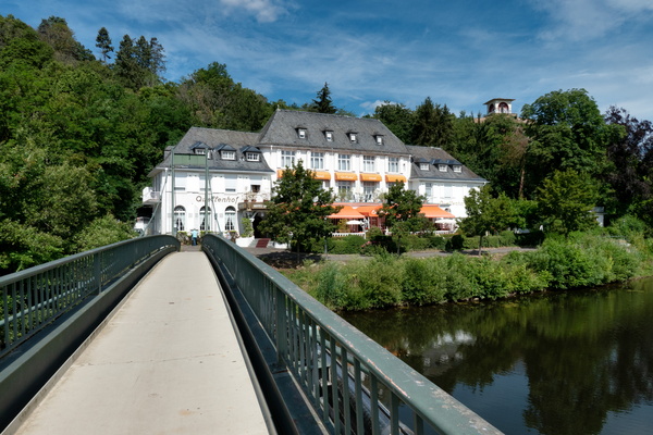
Bad Kreuznach
-
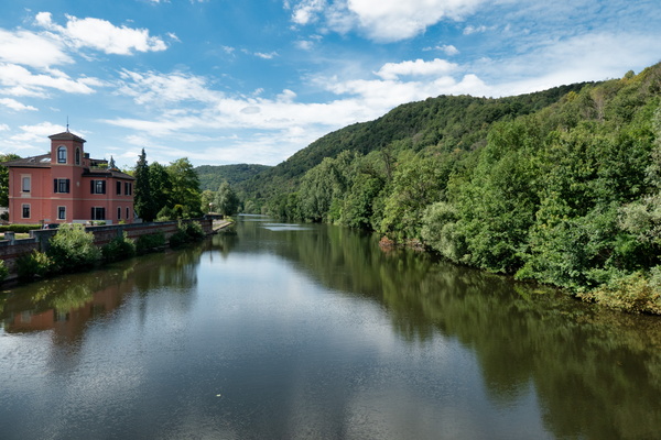
Bad Kreuznach
-
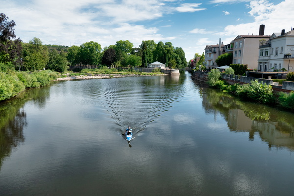
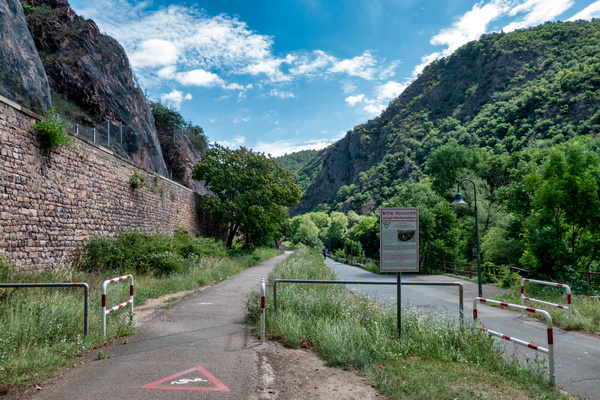
Watch for snakes
-
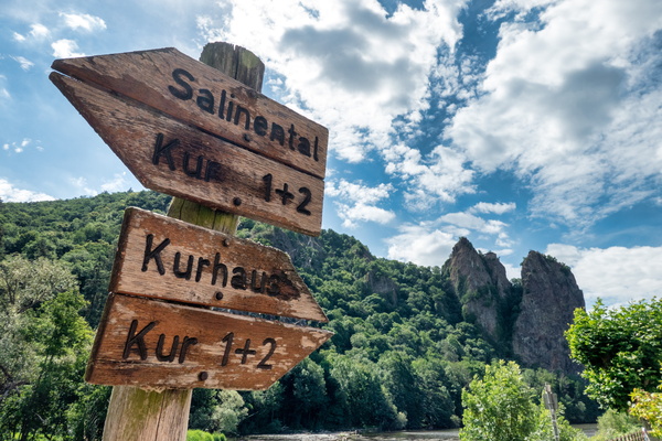
Nahe river in Bad Kreuznach
-
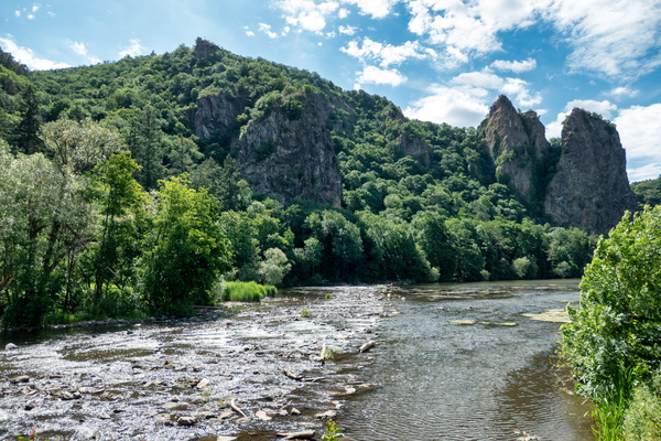
Nahe river near Bad Kreuznach
-
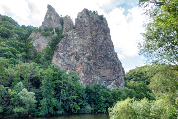
Rheingrafenstein bare rock
-
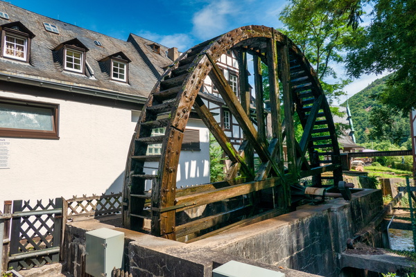
Water mill in Kurpavillon, Bad Münster
-
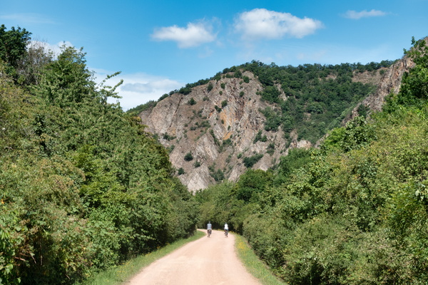
Nahe-Radweg near Bad Münster am Stein-Ebernburg
-
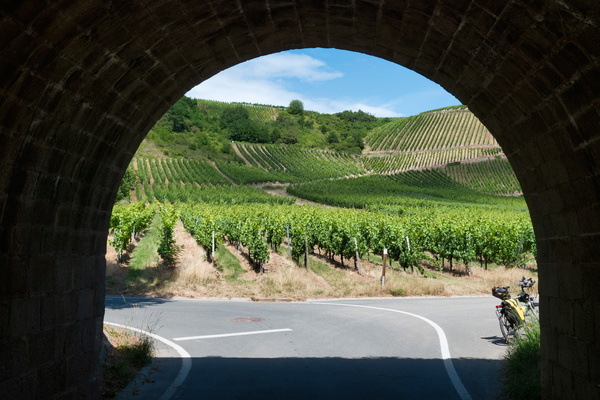
Nahe-Radweg near Niederhausen
-
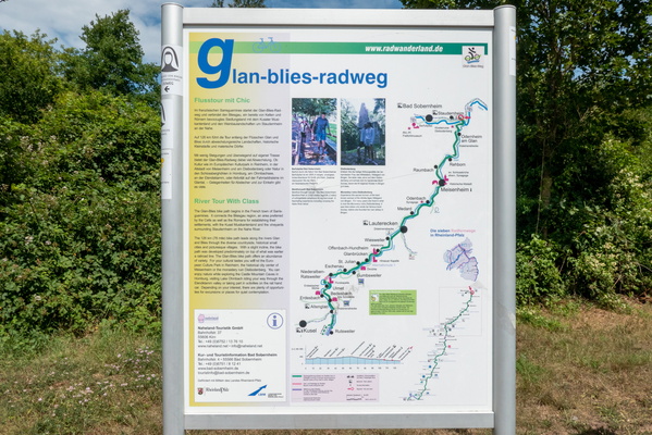
Glan-Blies-Radweg information board and map
-
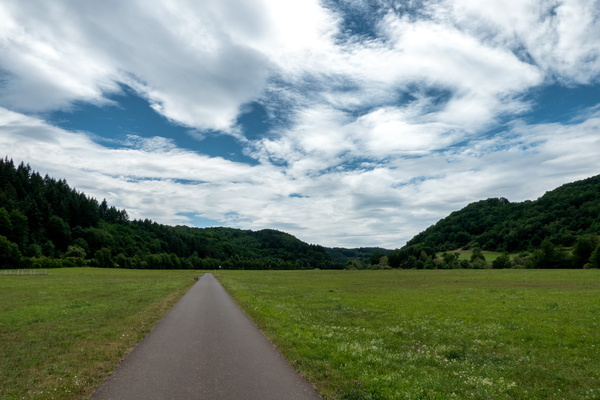
Nahe-Radweg near Bärenbach
-
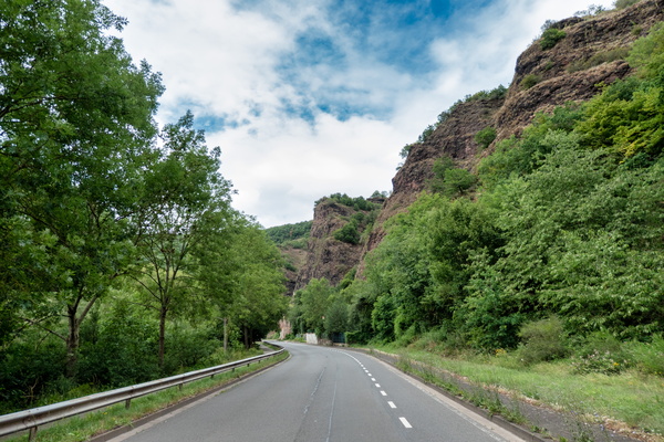
Nahe-Radweg near Oberstein
-
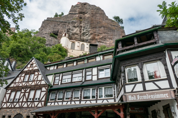
Schloßschenke, Oberstein
-
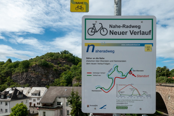
Nahe-Radweg alternative way in Oberstein
-
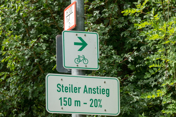
Get ready to climb
-
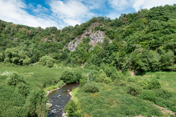
Nahe-Radweg near Enzweiler
-
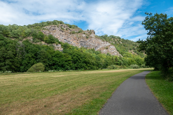
Nahe-Radweg near Enzweiler
-
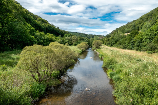
Nahe-Radweg near Hammerstein
-
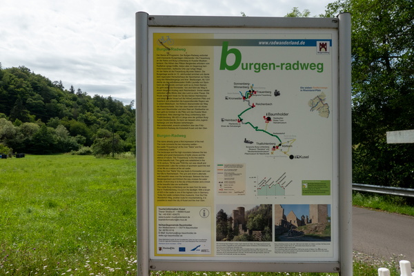
Burgegn-Radweg map and information board
-
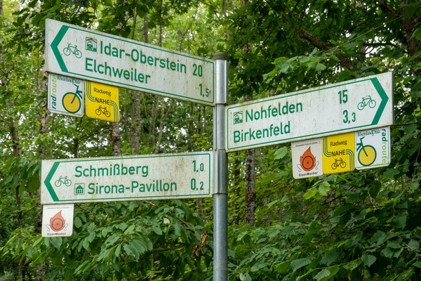
Cycling directions near Elchweiler
-
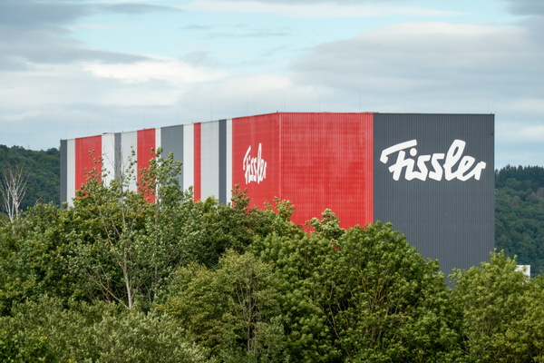
Fissler
-
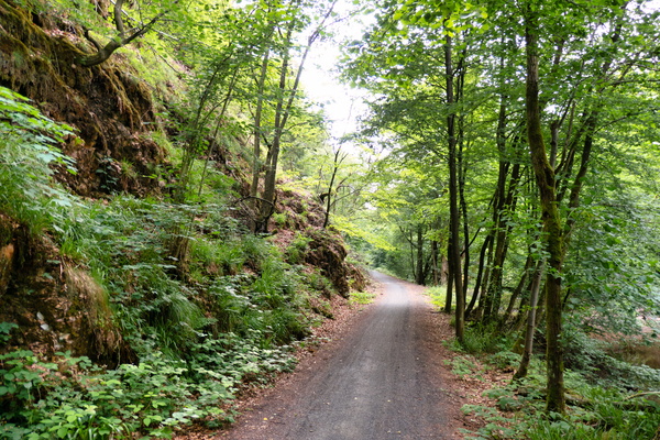
Nahe-Radweg near Nohfelden
-
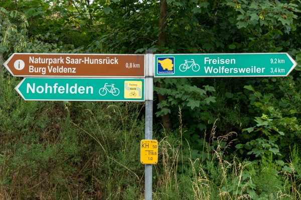
Where I left the Nahe-Radweg to join the Saarland-Radweg
-
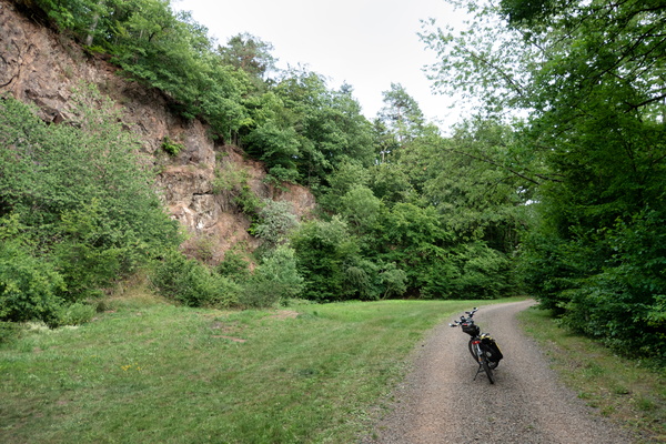
Saarland-Radweg near Freisen
-
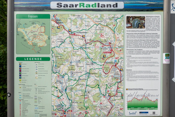
Cycling map near Freisen
-
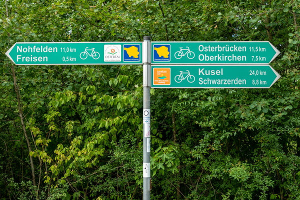
Cycling directions in Freisen
-
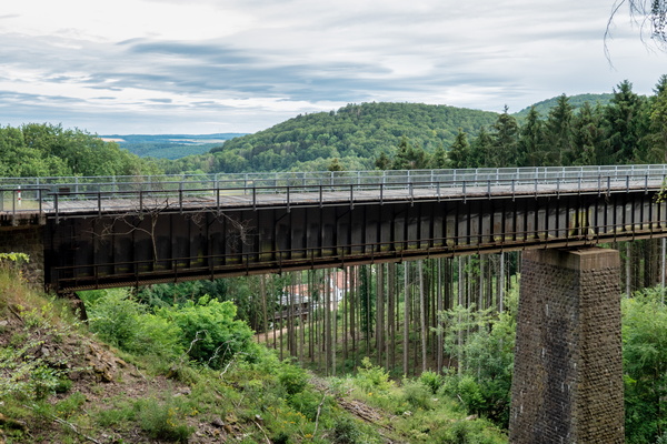
Eiserne Brücke
-
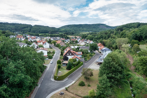
View from Talbrücke Oberkirchen
-
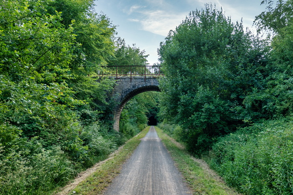
Bridge over Mithras-Radweg near Oberkirchen
-
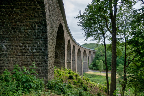
Talbrücke Oberkirchen
-
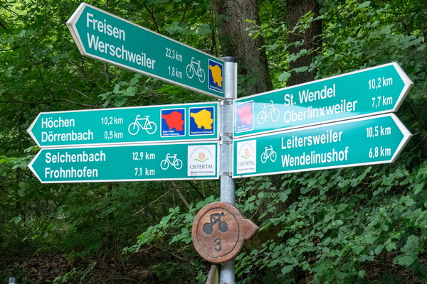
Cycling directions near Dörrenbach
-
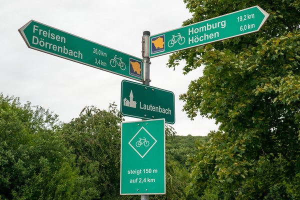
Cycling directions and climb warning in Lautenbach
-
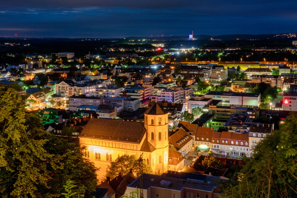
Homburg cityscape from Schlossberg
-
Lemonade bottle
-
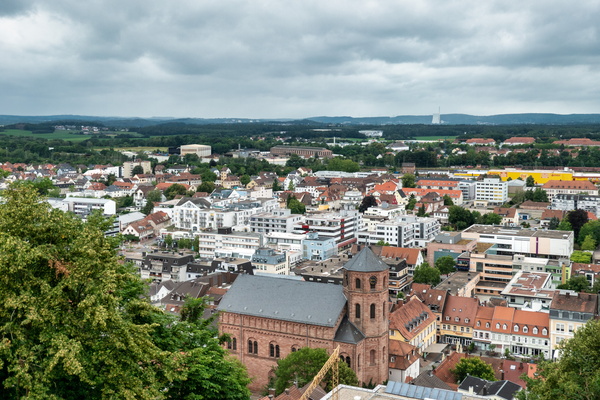
Homburg cityscape by day
-
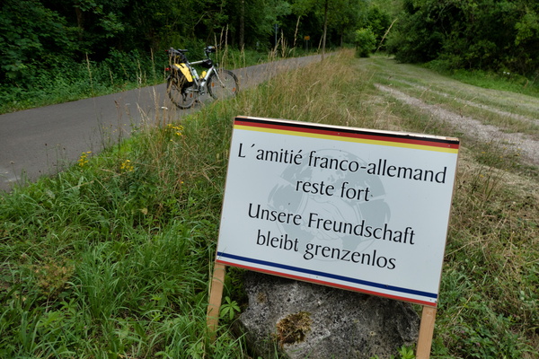
International friendship board near Herbitzheim
-
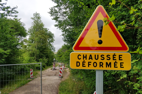
Chaussée déformée sign
-
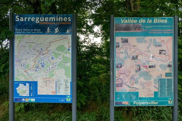
Cycling map near Sarreguemines
-
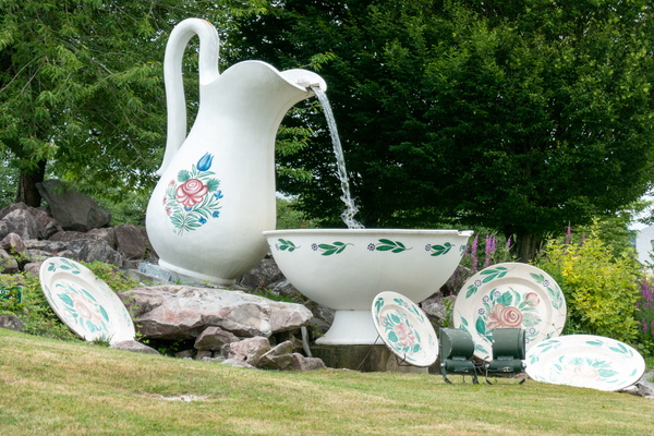
Rounabout in Sarreguemines
-
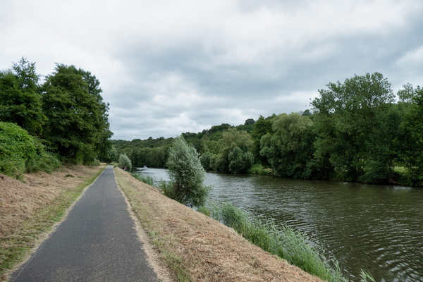
Cycleway along the Saar
-
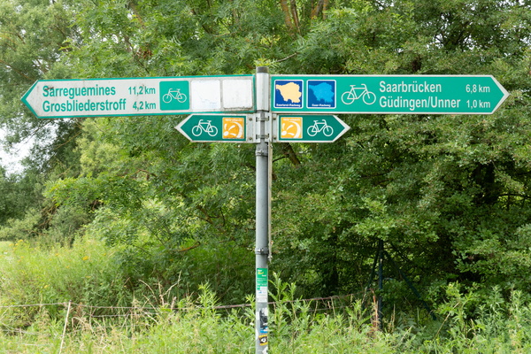
Cycling directions at the border
-
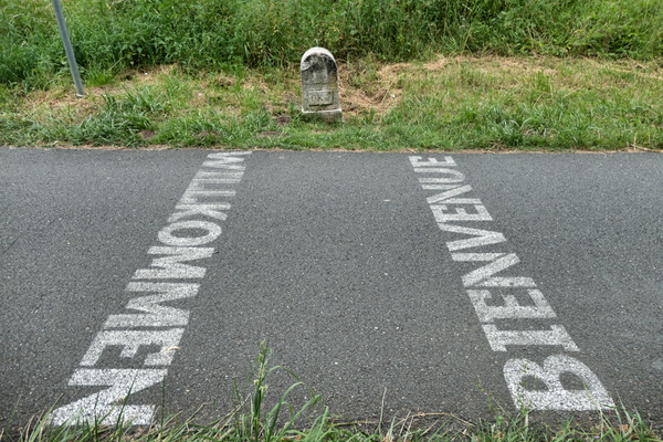
France-Germany border on the cycleway
-
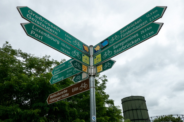
Still a way to go
-
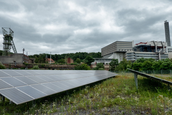
Müllverbrennungsanlage Velsen industrial area
-
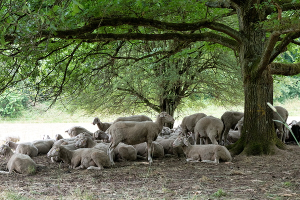
Sheep in the shade
-
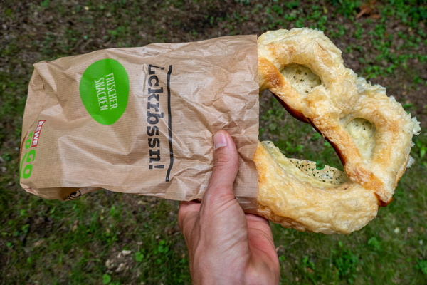
German pastry
-
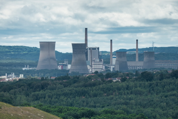
View from Plareforme panoramique carrière Barrois
-
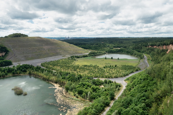
Plareforme panoramique carrière Barrois
-
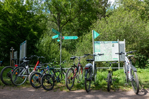
Cycling near Lauterbach, Saarland
-
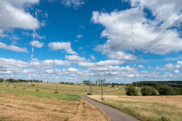
Europe 1 radio transmitter
-
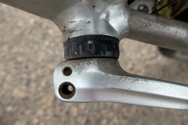
Lost a screw on the crank set
-
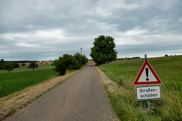
Bad pavement
-
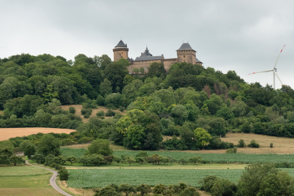
Château de Malbrouck
-
Moselle valley near Schengen
