
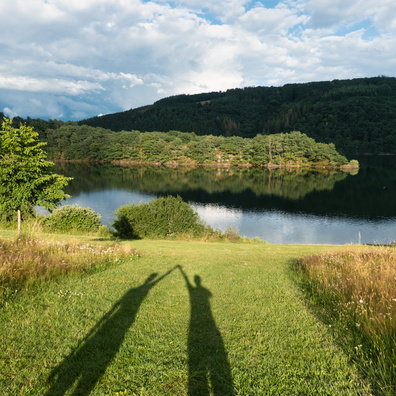
 Download Photo


Information
- Rating score
- no rate
- Rate this photo
- Created on
- Saturday 24 July 2021
- Posted on
- Monday 1 November 2021
- Visits
- 2619
EXIF Metadata
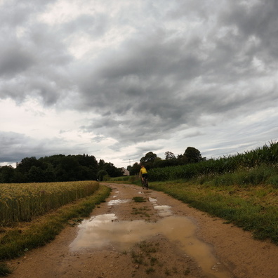
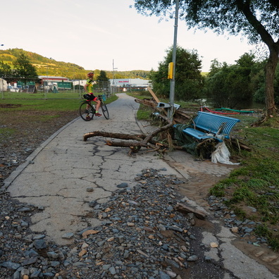
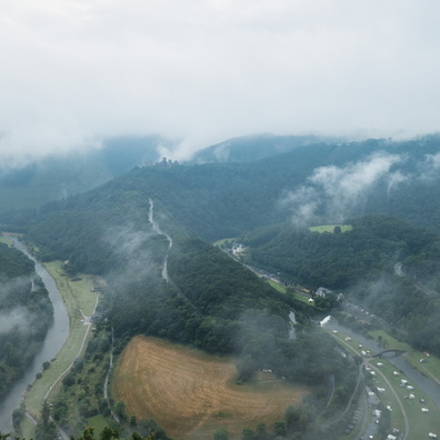
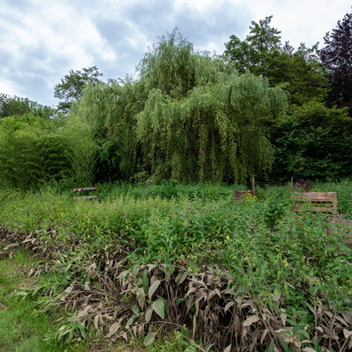
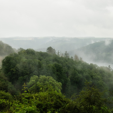
Panasonic DC-TZ200
- Make
- Panasonic
- Model
- DC-TZ200
- DateTimeOriginal
- 2021:07:24 13:17:27
- ApertureFNumber
- f/4.5
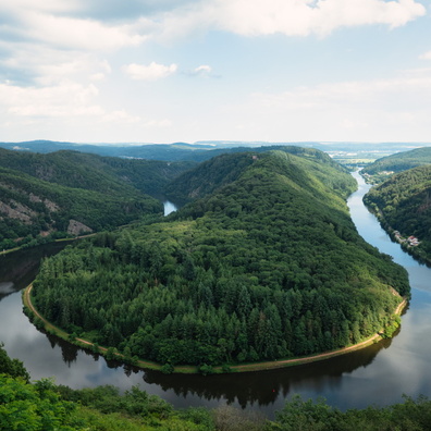
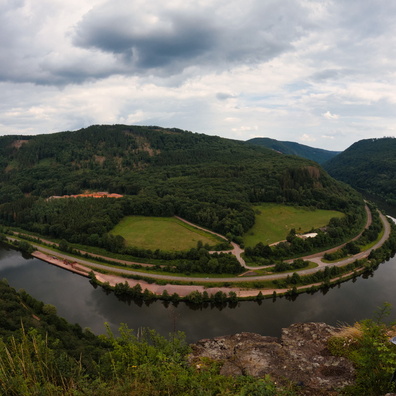
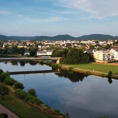
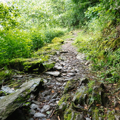
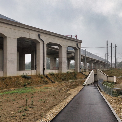
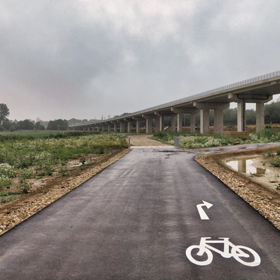
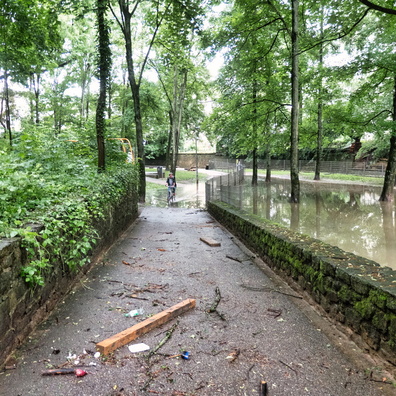
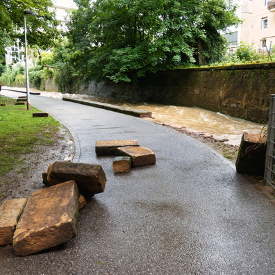
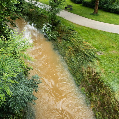
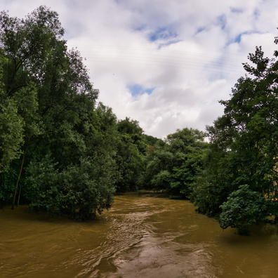
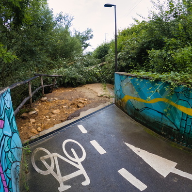
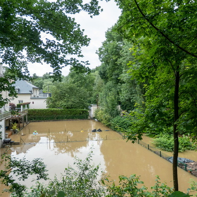
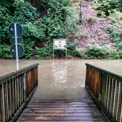
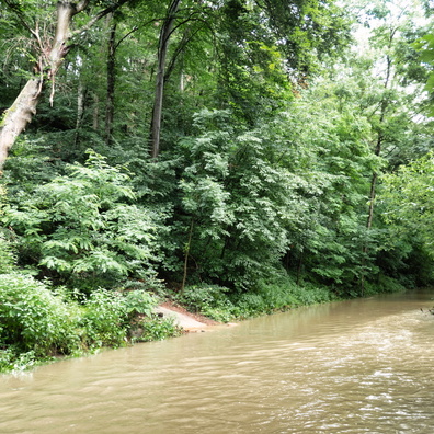
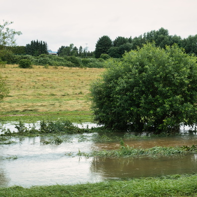
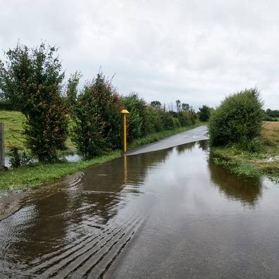
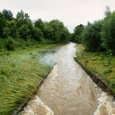
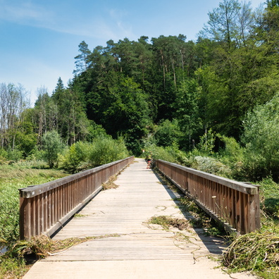
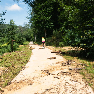
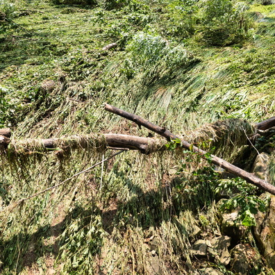
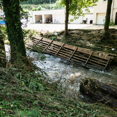
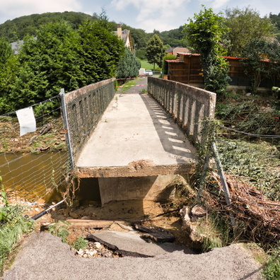
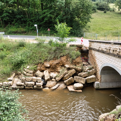
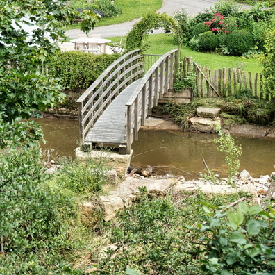
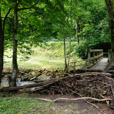
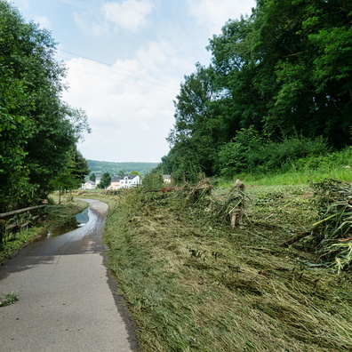
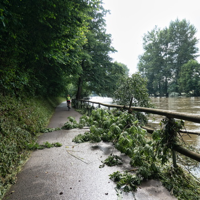
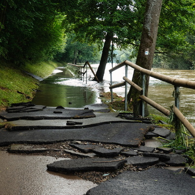
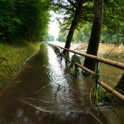
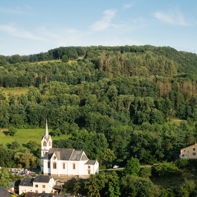
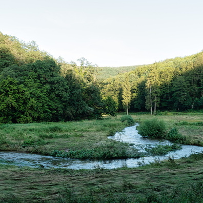
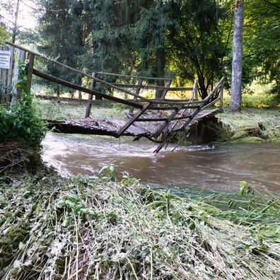
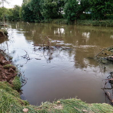
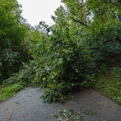
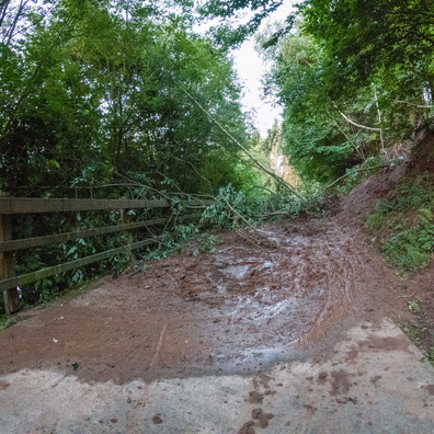
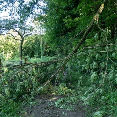
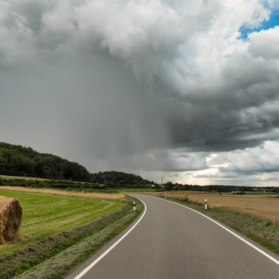
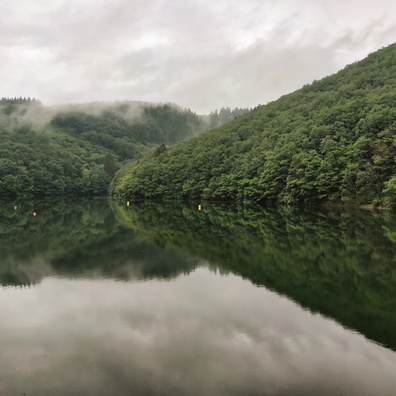
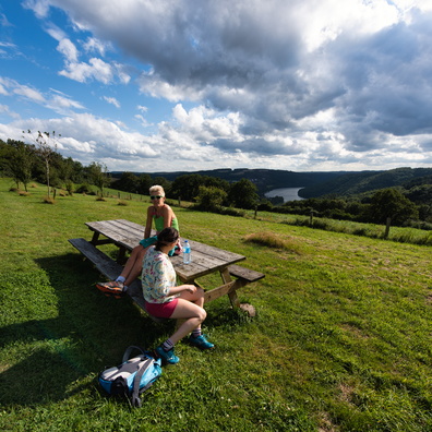
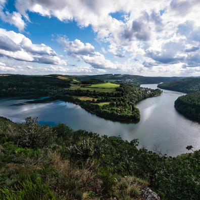
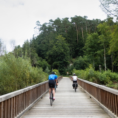
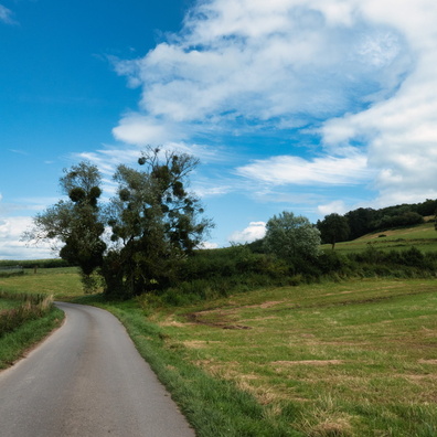
- iptc_title
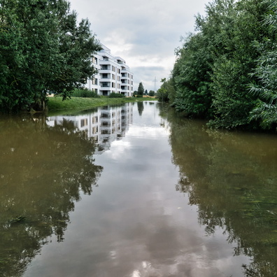
- Sauer valley after the rain
Powered by Piwigo