
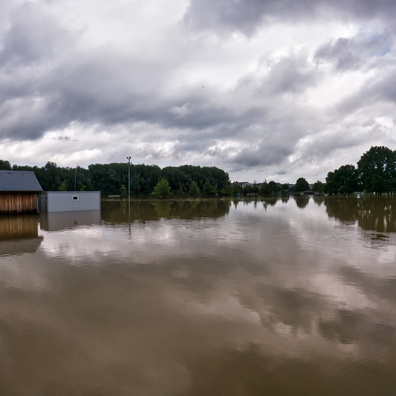
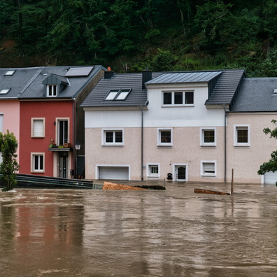
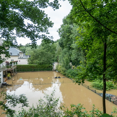
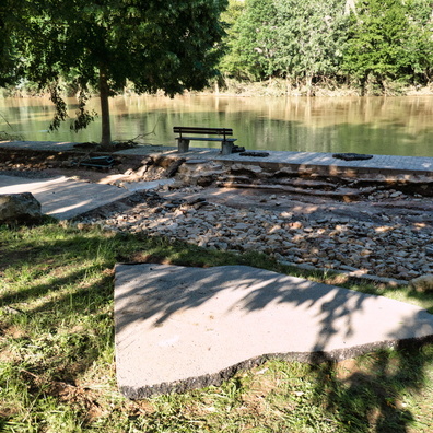
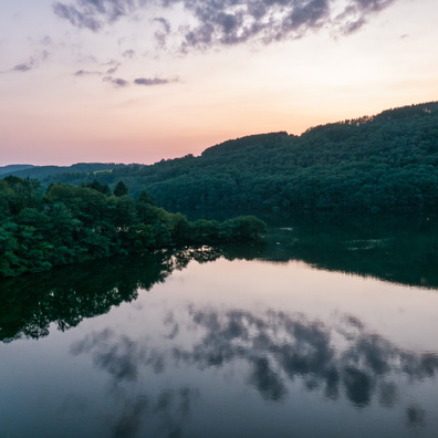
 Download Photo
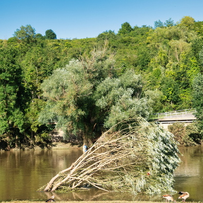
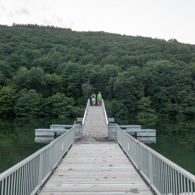


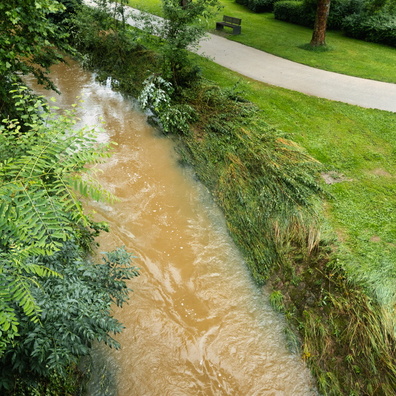


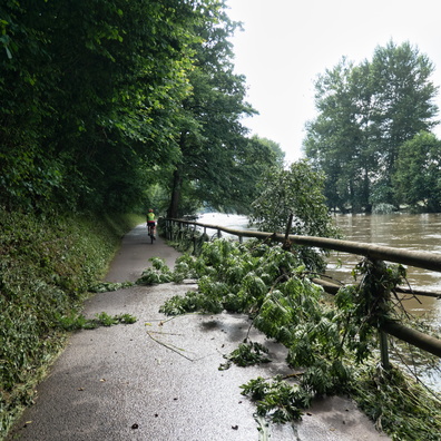
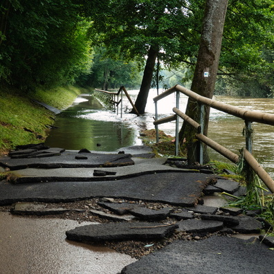
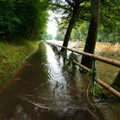

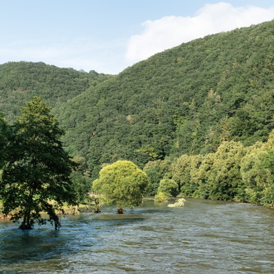


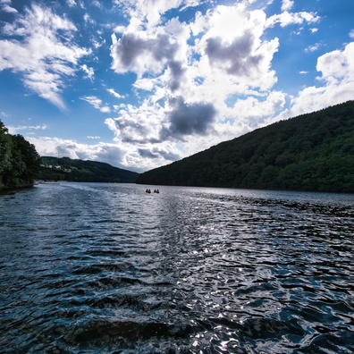


Information
- Rating score
- no rate
- Rate this photo
- Created on
- Tuesday 27 July 2021
- Posted on
- Monday 1 November 2021
- Visits
- 3708
EXIF Metadata
GoPro HERO9 Black
- Make
- GoPro
- Model
- HERO9 Black
- DateTimeOriginal
- 2021:07:27 16:38:17
- ApertureFNumber
- f/2.5
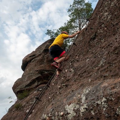
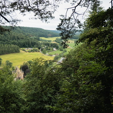
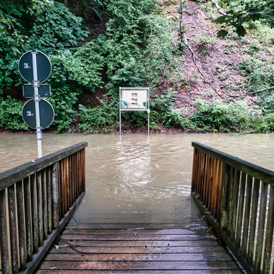
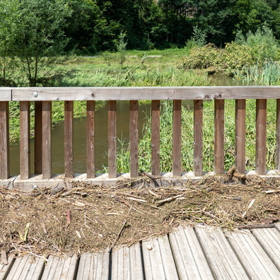
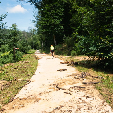
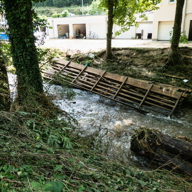
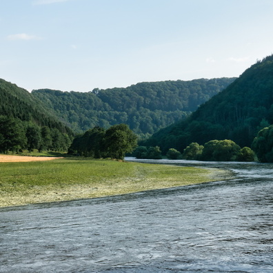
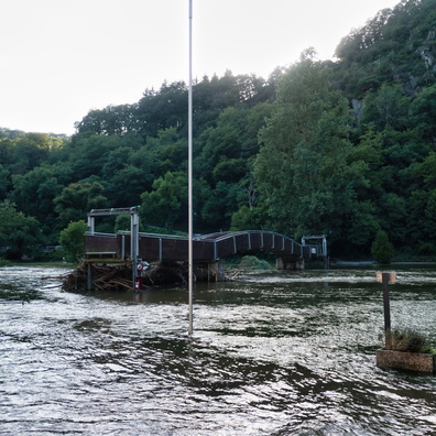
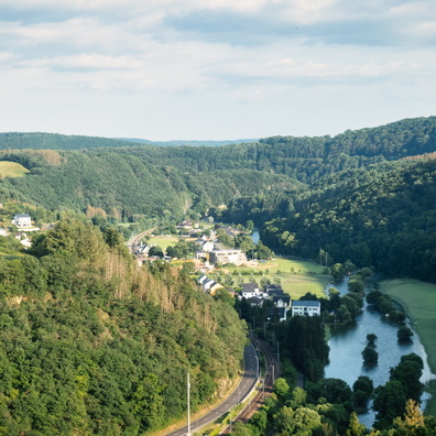
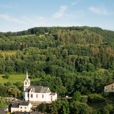
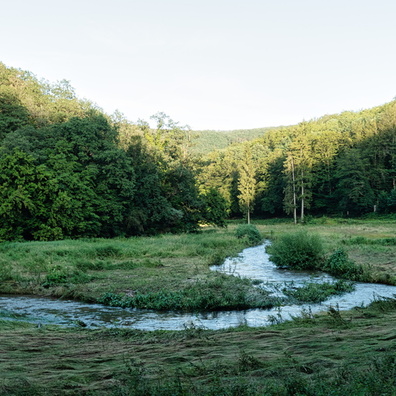
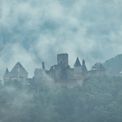
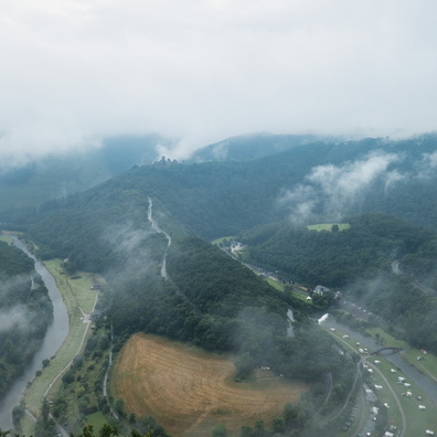
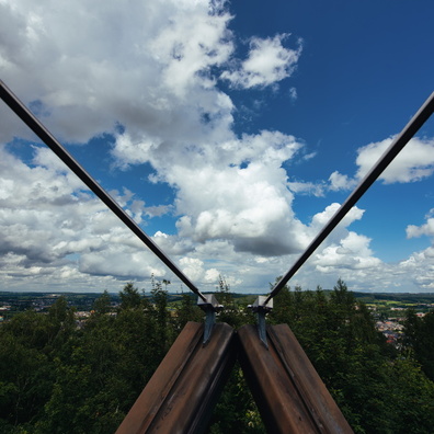
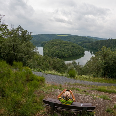
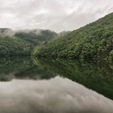
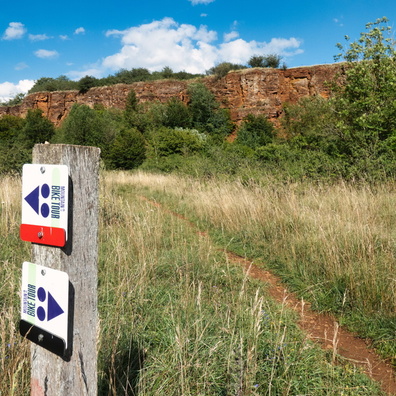
- iptc_title
- Stauséi viewpoint
Powered by Piwigo