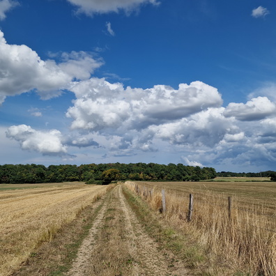
Home
Fields, clouds and Helperknapp hill
Photo sizes
S - small
(576 x 384)
M - medium
(792 x 528)
L - large
(1008 x 672)
XL - extra large
(1656 x 1104)
XXL - huge
(2048 x 1365)
slideshow
Download Photo
Information
Palette
Search
Location
Plugin by
xbgmsharp
Leaflet
©
OpenStreetMap
contributors, (
ODbL
)
View on OpenStreetMap
Rating score
no rate
Rate this photo
Created on
Monday 15 August 2022
Posted on
Wednesday 9 November 2022
Visits
1361
Albums
Outdoor adventures
/
2022
/
August 2022
Cycling
/
Luxembourg national cycling routes
/
PC 12 - Piste cyclable de l'Attert
Cycling
/
Luxembourg themed routes
/
Dällchen West Tour
Tags
cloud
country:Lëtzebuerg
country_code:lu
county:Canton Redange
cycling:Dällchen West Tour
hiking:Autopédestre Useldange 2
ISO3166-2-lvl6:LU-RD
PC 12
PC12Lux
Piste cyclable de l'Attert
postcode:8720
road:Piste cyclable de l'Attert
sky
village:Rippweiler
EXIF Metadata
samsung SM-S908B
Show EXIF data
Make
samsung
Model
SM-S908B
DateTimeOriginal
2022:08:15 18:23:48
ApertureFNumber
f/1.8
iptc_title
Fields, clouds and Helperknapp hill
Powered by
Piwigo