
 Download Photo


Information
- Rating score
- no rate
- Rate this photo
- Created on
- Sunday 20 November 2022
- Posted on
- Tuesday 20 December 2022
- Visits
- 2046
EXIF Metadata
samsung SM-S908B
- Make
- samsung
- Model
- SM-S908B
- DateTimeOriginal
- 2022:11:20 16:05:40
- ApertureFNumber
- f/2.4
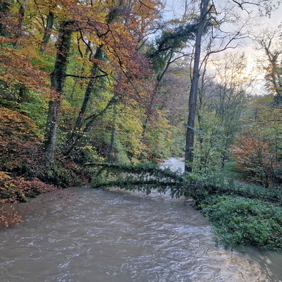
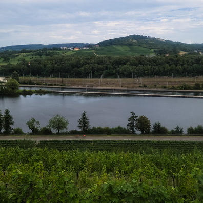
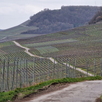
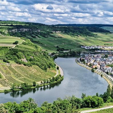
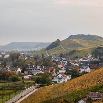
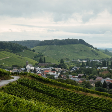
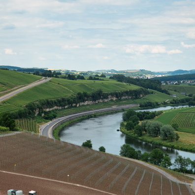
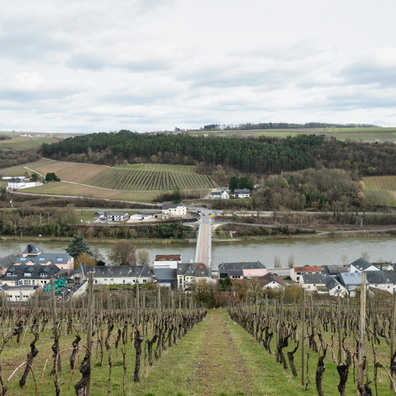
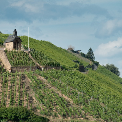
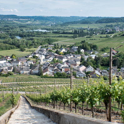
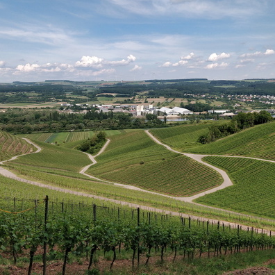
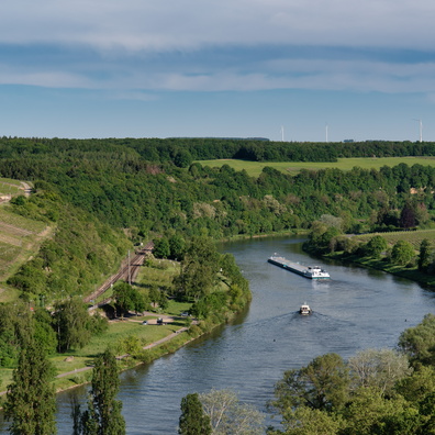
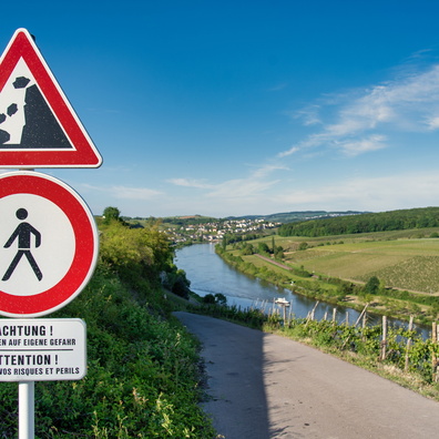
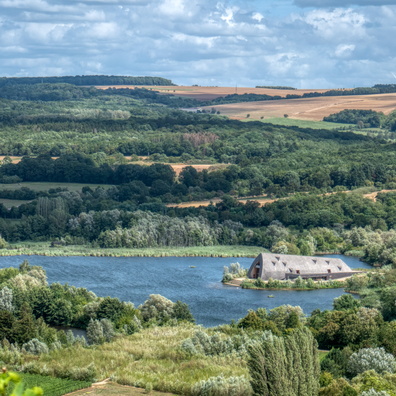
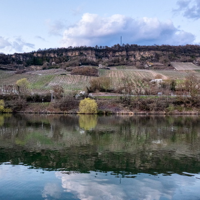
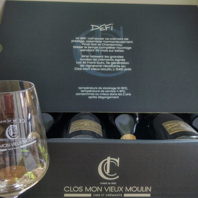
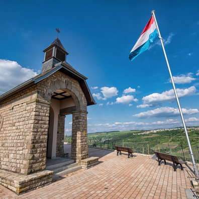
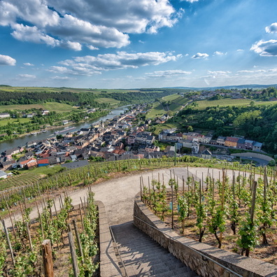
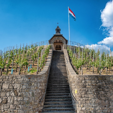
- iptc_title
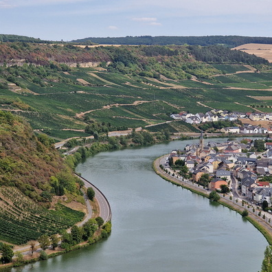
- Moselle valley near Greiveldange
Powered by Piwigo