
 Download Photo


Information
- Rating score
- no rate
- Rate this photo
- Created on
- Monday 1 May 2023
- Posted on
- Friday 2 June 2023
- Visits
- 1466
EXIF Metadata
samsung SM-S908B
- Make
- samsung
- Model
- SM-S908B
- DateTimeOriginal
- 2023:05:01 16:47:46
- ApertureFNumber
- f/2.2
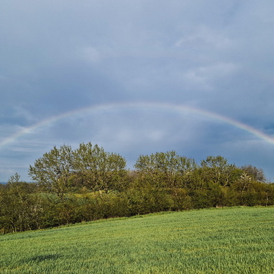
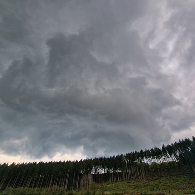
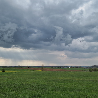
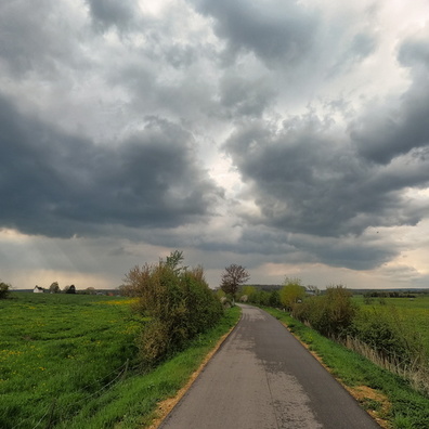
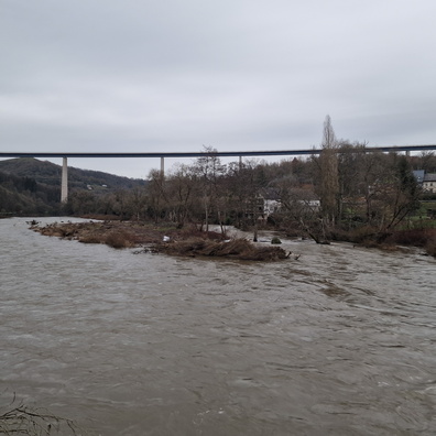
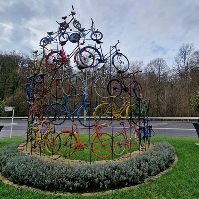
- iptc_title
- Threatening sky
Powered by Piwigo