
 Download Photo


Information
- Rating score
- no rate
- Rate this photo
- Created on
- Saturday 9 March 2024
- Posted on
- Thursday 25 April 2024
- Visits
- 352
EXIF Metadata
samsung SM-S908B
- Make
- samsung
- Model
- SM-S908B
- DateTimeOriginal
- 2024:03:09 13:13:06
- ApertureFNumber
- f/1.8
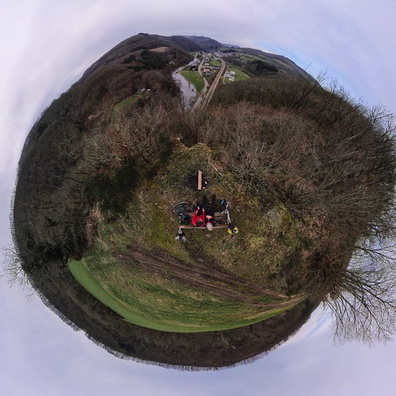
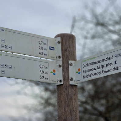
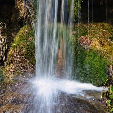
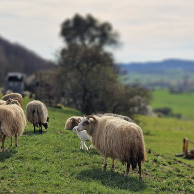
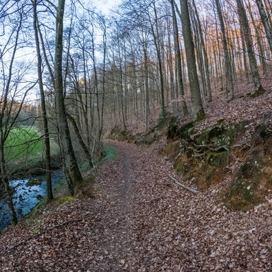
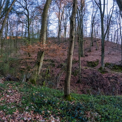
- iptc_title
- Unterschlinder
Powered by Piwigo