
 Download Photo


Information
- Rating score
- no rate
- Rate this photo
- Created on
- Monday 25 March 2024
- Posted on
- Monday 29 April 2024
- Visits
- 946
EXIF Metadata
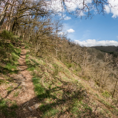
GoPro HERO9 Black
- Make
- GoPro
- Model
- HERO9 Black
- DateTimeOriginal
- 2024:03:25 14:16:58
- ApertureFNumber
- f/2.5
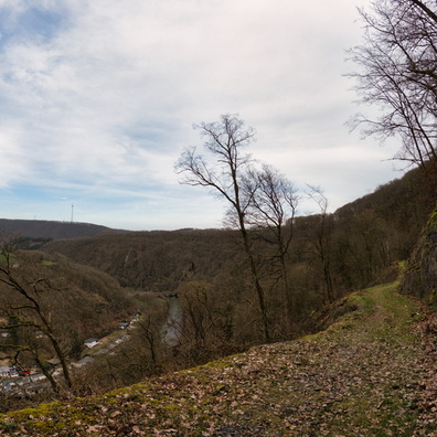
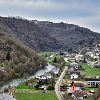
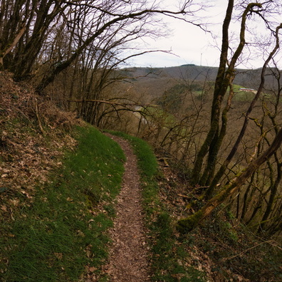
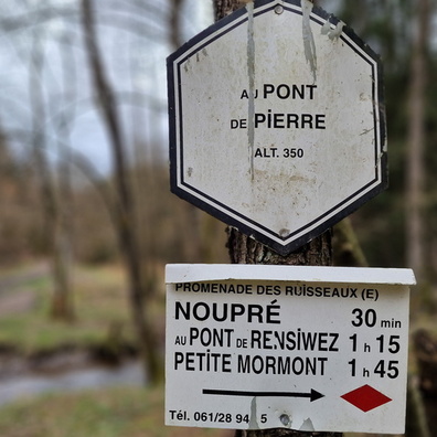
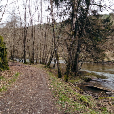
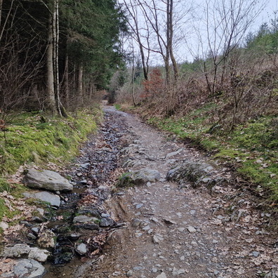
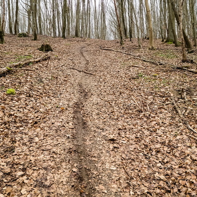
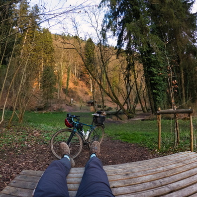
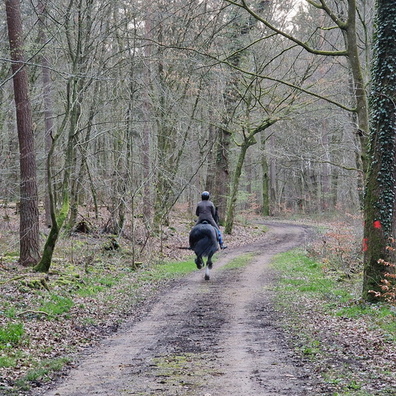
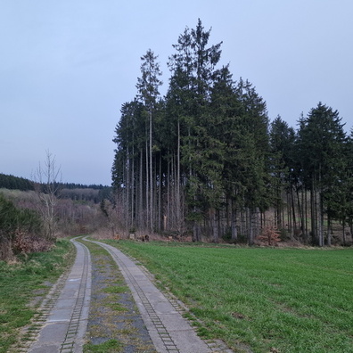
- iptc_title
- Trail along the lake
Powered by Piwigo