
 Download Photo


Information
- Rating score
- no rate
- Rate this photo
- Created on
- Sunday 18 August 2024
- Posted on
- Friday 27 December 2024
- Visits
- 210
- Albums
- Outdoor adventures / 2024 / August 2024
EXIF Metadata
samsung Galaxy S24 Ultra
- Make
- samsung
- Model
- Galaxy S24 Ultra
- DateTimeOriginal
- 2024:08:18 20:40:41
- ApertureFNumber
- f/1.7
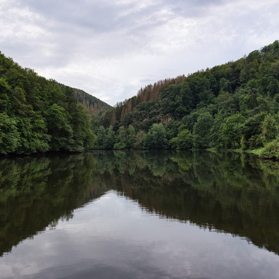
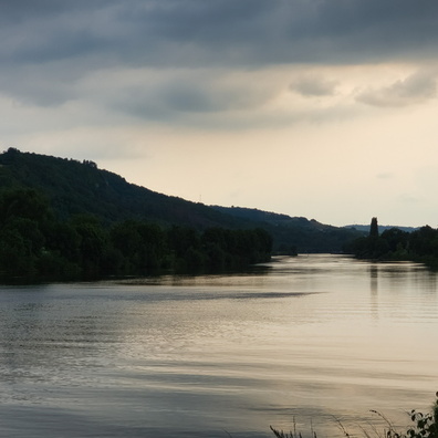
- iptc_title
- Sauerdall at sunset: Nature's pink finale
Powered by Piwigo