
 Download Photo


Information
- Rating score
- no rate
- Rate this photo
- Created on
- Monday 18 July 2016
- Posted on
- Thursday 18 August 2016
- Visits
- 6681
EXIF Metadata
NIKON CORPORATION NIKON D750
- Make
- NIKON CORPORATION
- Model
- NIKON D750
- DateTimeOriginal
- 2016:07:18 15:11:50
- ApertureFNumber
- f/6.3
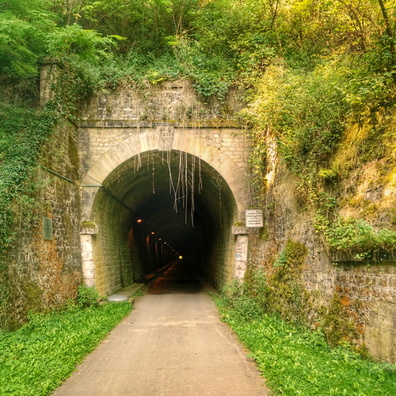
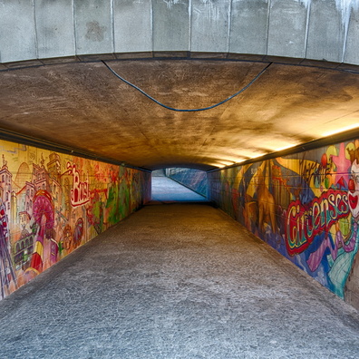
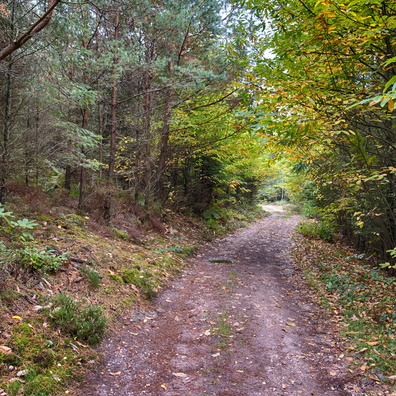
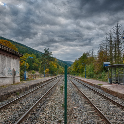
- iptc_title
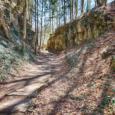
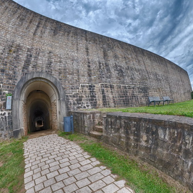
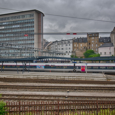
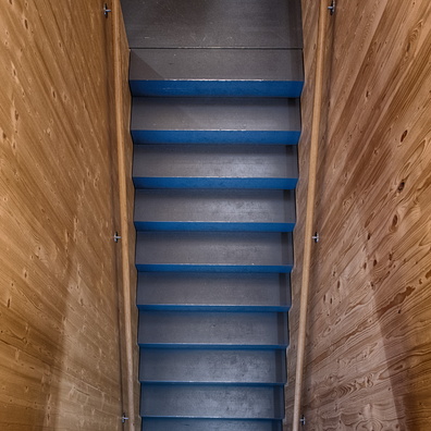
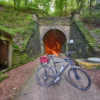
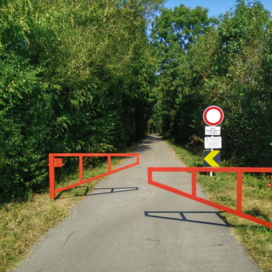
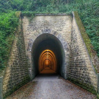
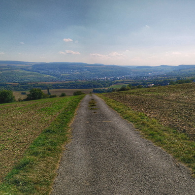
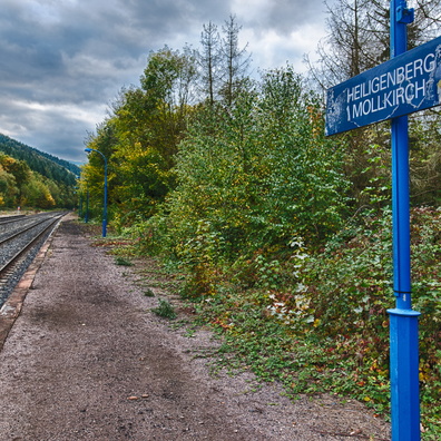
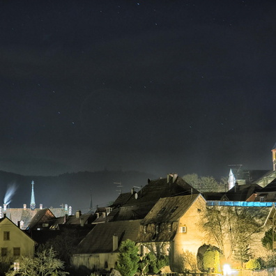
- The end of the tunnel
Powered by Piwigo