
 Download Photo


Information
- Rating score
- no rate
- Rate this photo
- Created on
- Wednesday 14 September 2016
- Posted on
- Friday 21 July 2017
- Visits
- 4072
EXIF Metadata
- DateTimeOriginal
- 2016:09:14 15:44:46
- ApertureFNumber
- f/2.0
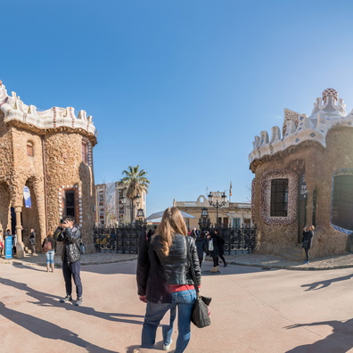
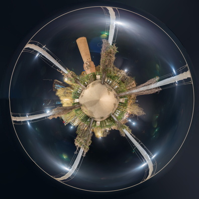
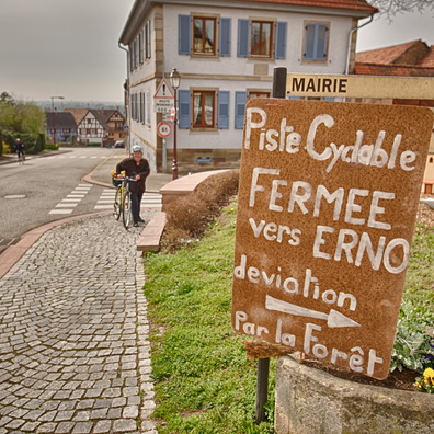
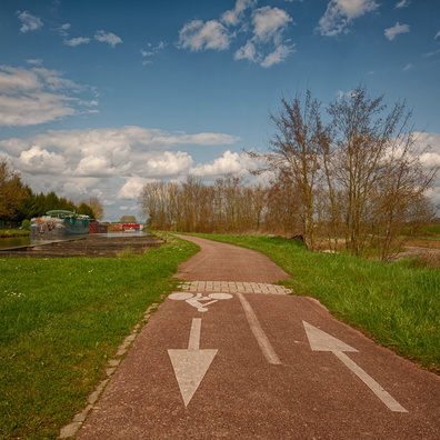
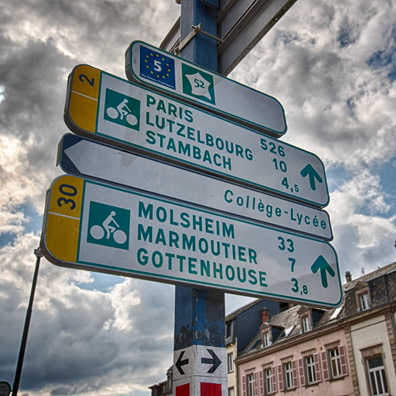
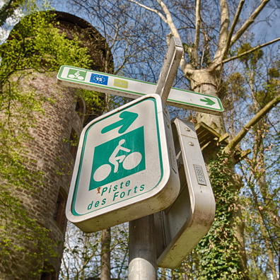
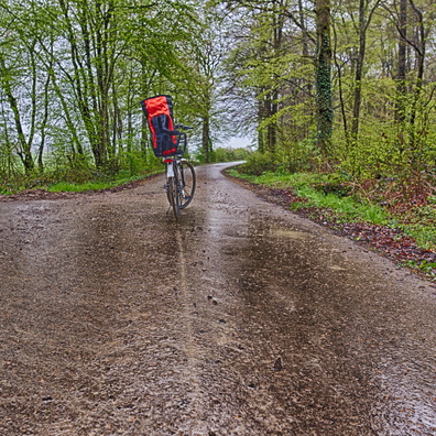
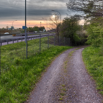
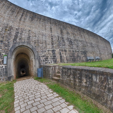
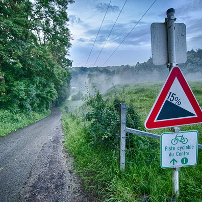
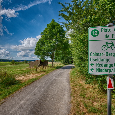
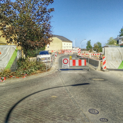
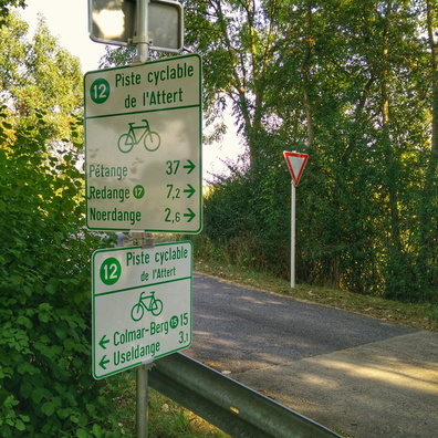
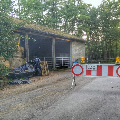
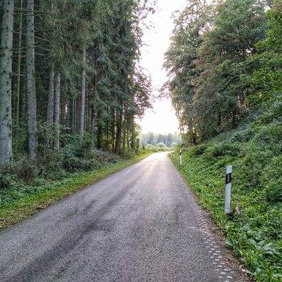
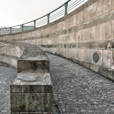
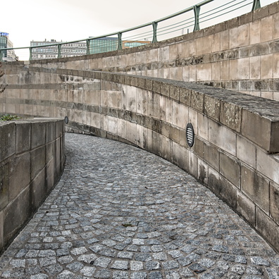
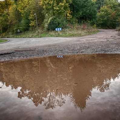
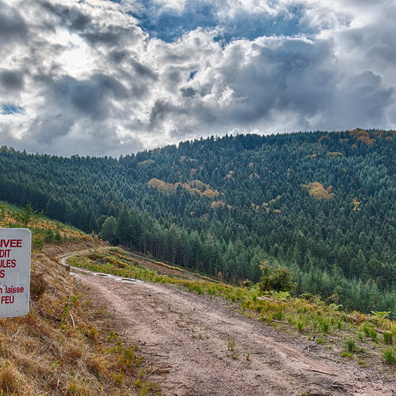
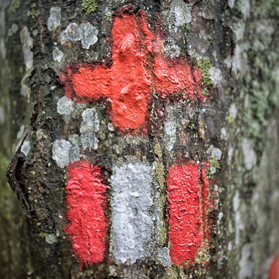
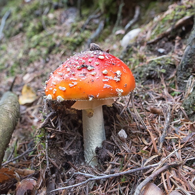
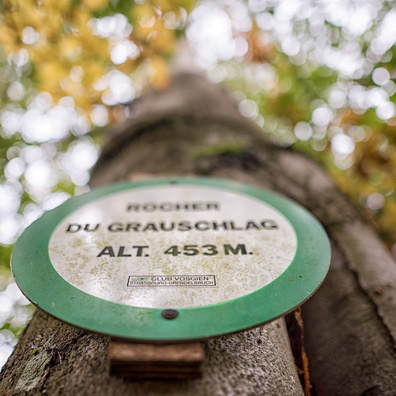
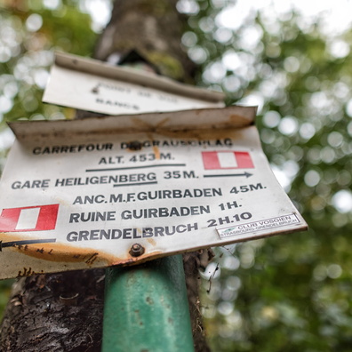
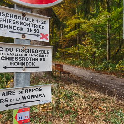
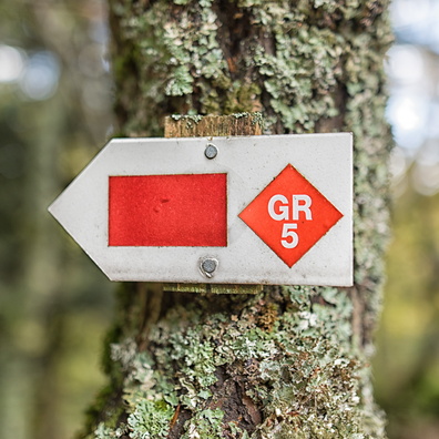
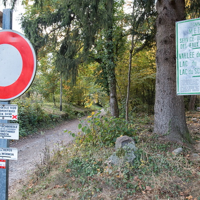
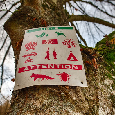
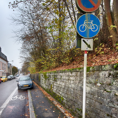
- iptc_title
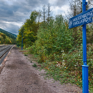
- Direction signs on PC 12
Powered by Piwigo