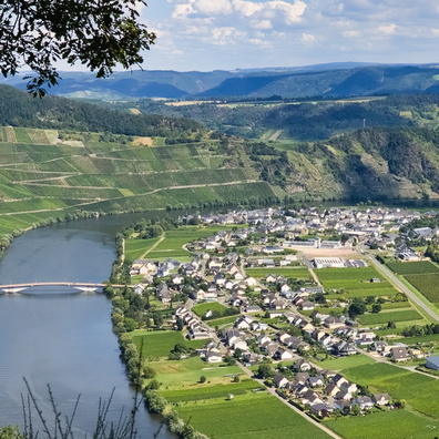
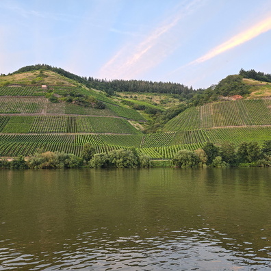
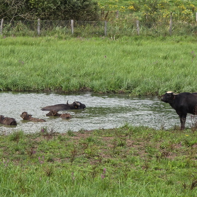
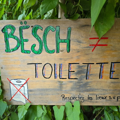
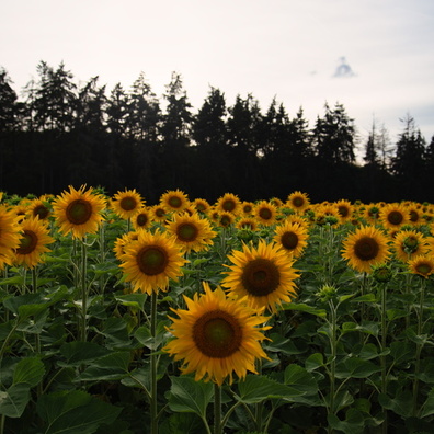
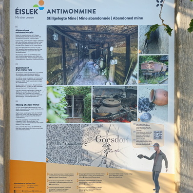
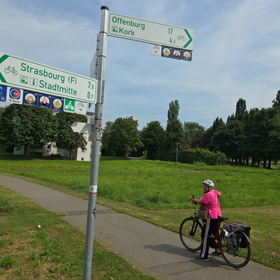
 is 7 kilometres, and the town centre (Stadtmitte) is just 0.7 kilometres away.")
 Download Photo


Information
- Rating score
- no rate
- Rate this photo
- Created on
- Friday 30 August 2024
- Posted on
- Saturday 28 December 2024
- Visits
- 204
- Albums
- Outdoor adventures / 2024 / August 2024
EXIF Metadata
samsung Galaxy S24 Ultra
- Make
- samsung
- Model
- Galaxy S24 Ultra
- DateTimeOriginal
- 2024:08:30 12:57:33
- ApertureFNumber
- f/1.7
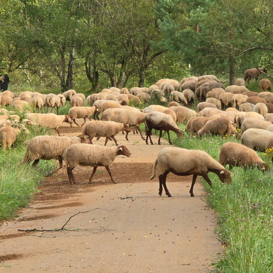
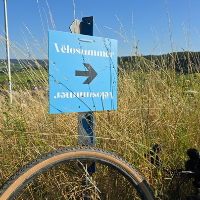
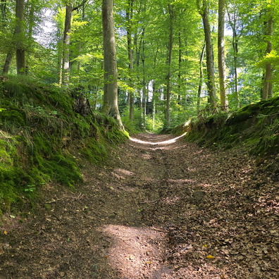
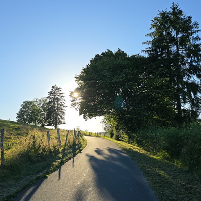
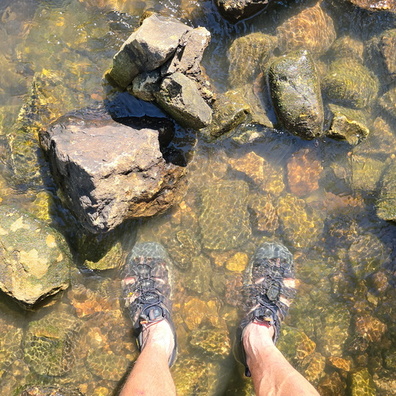
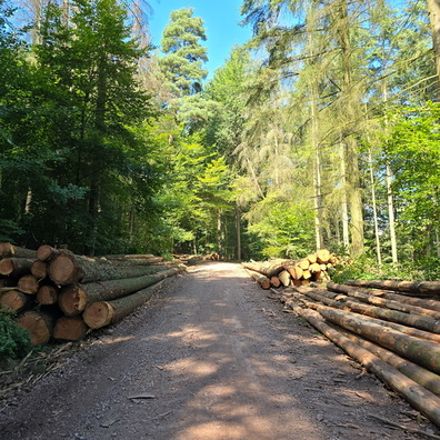
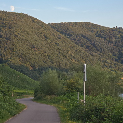
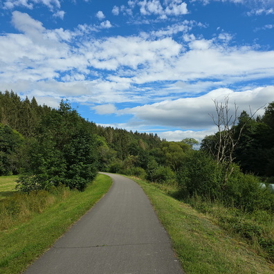
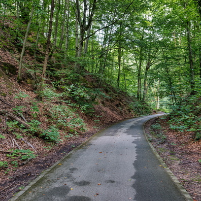
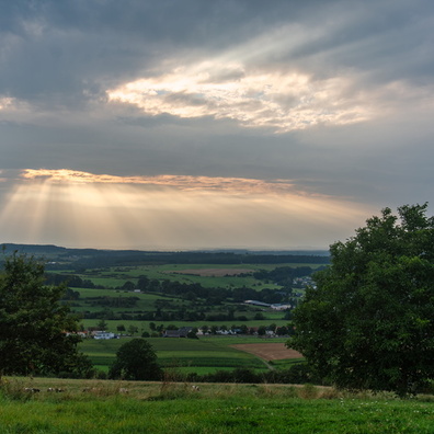
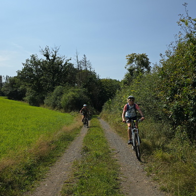
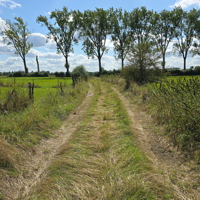
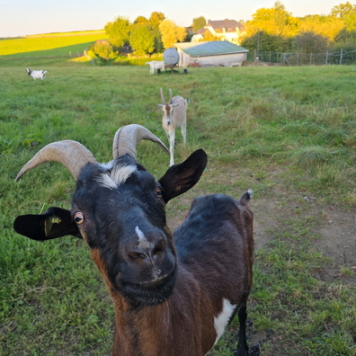
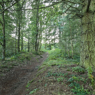
- iptc_title
- Which way to go?
Powered by Piwigo