
 Download Photo


Information
- Rating score
- no rate
- Rate this photo
- Created on
- Wednesday 9 October 2024
- Posted on
- Wednesday 1 January 2025
- Visits
- 425
EXIF Metadata
samsung Galaxy S24 Ultra
- Make
- samsung
- Model
- Galaxy S24 Ultra
- DateTimeOriginal
- 2024:10:09 17:09:34
- ApertureFNumber
- f/1.7
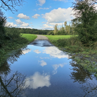
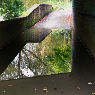
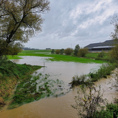
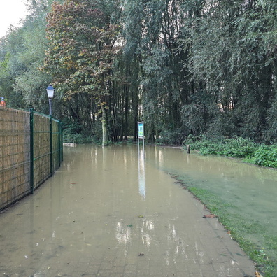
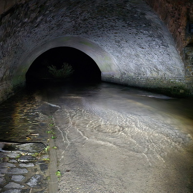
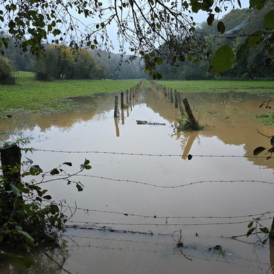
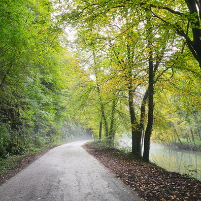
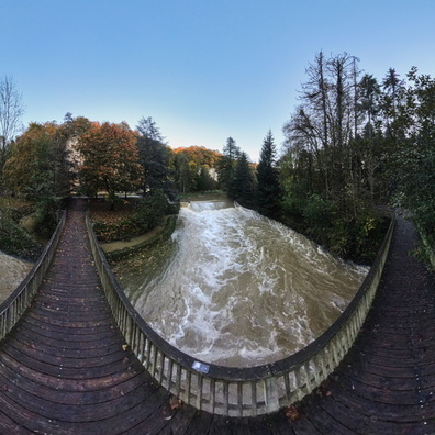
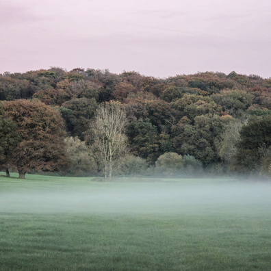
- iptc_title
- When the field turned into a swimming pool
Powered by Piwigo