
 Download Photo


Information
- Rating score
- no rate
- Rate this photo
- Created on
- Friday 11 October 2024
- Posted on
- Thursday 2 January 2025
- Visits
- 741
EXIF Metadata
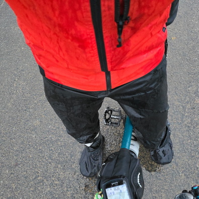
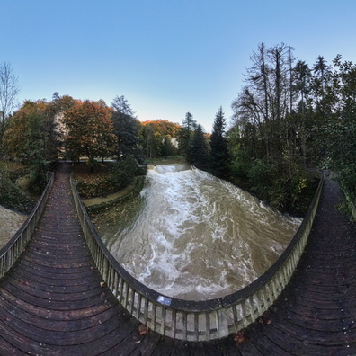
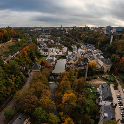
GoPro HERO13 Black
- Make
- GoPro
- Model
- HERO13 Black
- DateTimeOriginal
- 2024:10:11 13:28:34
- ApertureFNumber
- f/2.5
- iptc_title
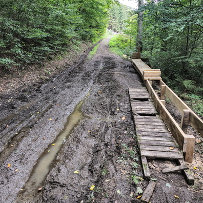
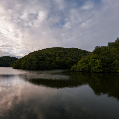
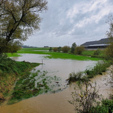
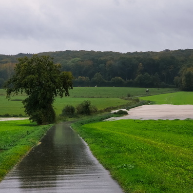
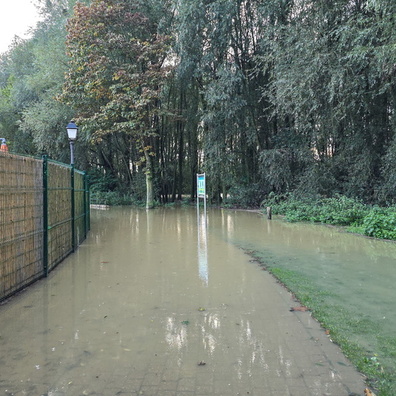
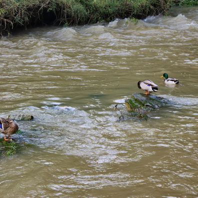
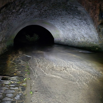
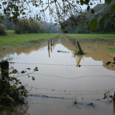
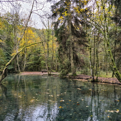
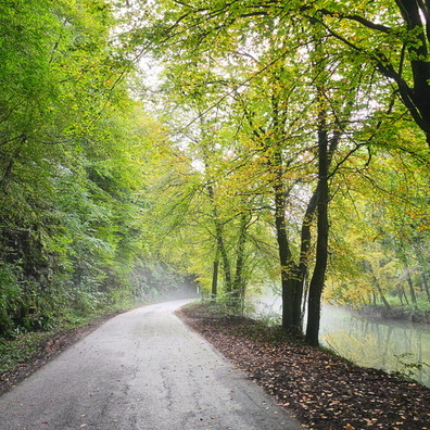
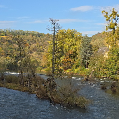
- Muddy waters and Sauer times
Powered by Piwigo