
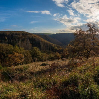
 Download Photo


Information
- Rating score
- no rate
- Rate this photo
- Created on
- Friday 25 October 2024
- Posted on
- Friday 3 January 2025
- Visits
- 568
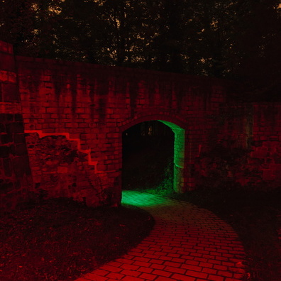
EXIF Metadata
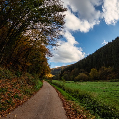
GoPro HERO13 Black
- Make
- GoPro
- Model
- HERO13 Black
- DateTimeOriginal
- 2024:10:25 18:59:20
- ApertureFNumber
- f/2.5
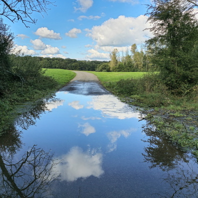
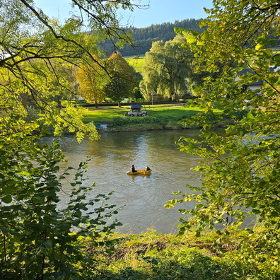
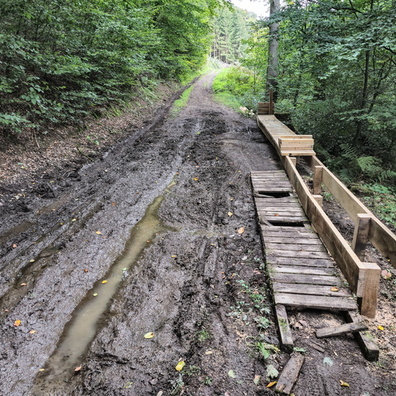
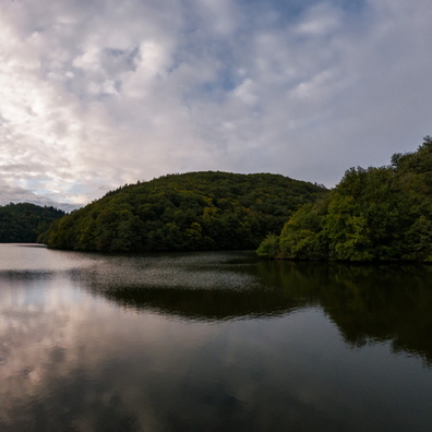
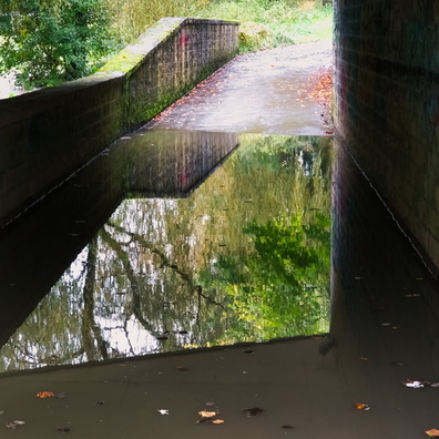
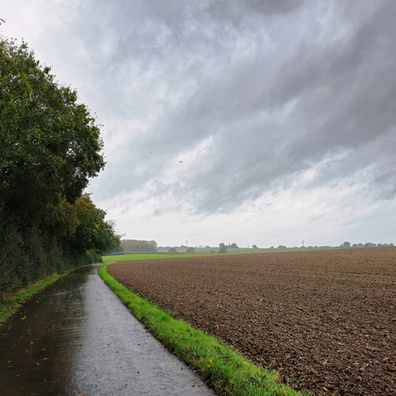
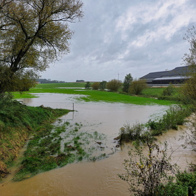
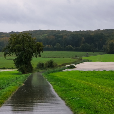
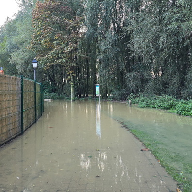
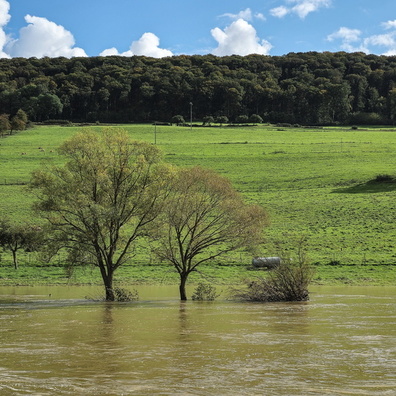
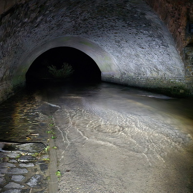
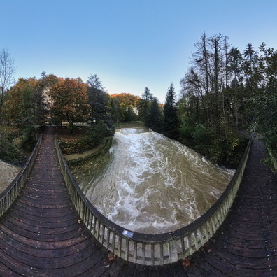
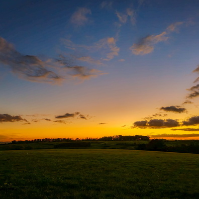
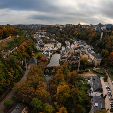
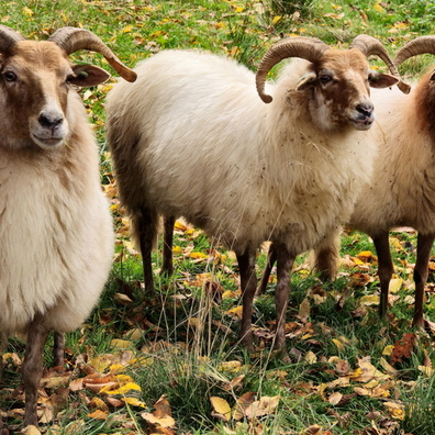
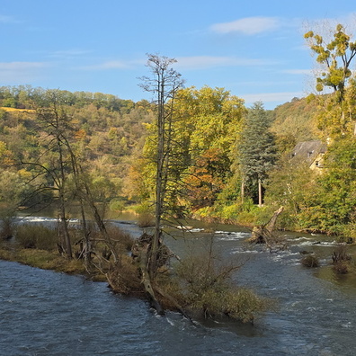
- iptc_title
- When the river takes a scenic route
Powered by Piwigo